Should you find yourself hiking the Seneca Creek Greenway Trail, you’ll find the remains of a red stone building somewhere near Riley’s Lock, between the C&O Canal and the Potomac River. These ruins are what used to be the Seneca Stone-Cutting Mill, a quarry that operated on and off from 1837 to 1901. The quarry’s good years were from 1837 to 1876, particularly 1837 to 1848, according to this source. The tract of land on which the quarry was located was sold to the State of Maryland in 1972 and it became part of the Seneca Creek State Park.
The remains that can be seen now give little indication of what once was, or how the mill operated, but thankfully some of this information has been preserved on the site linked above. I’ll quote from it here:
A large rough piece of sandstone was place on a little car and brought into the mill. It was placed under the saw blade which was then lowered onto the stone. The blade went back and forth just like people sawing wood. When a piece of stone was sawed off, they took the remaining stone back outside the mill, turned it over, put it back on the car, and brought it back into the mill to saw that side off. If they wanted all sides sawed, they’d repeat the process until they sawed it square.
Seneca Creek Greenway Trail Website
To polish the stone, they would place it on a big round wheel which turned underneath the stone. Water and sand were poured on the wheel to grind the sandstone smooth. It was called a planing wheel… [An] 1882 auction described the property as a large Stone Mill, with the necessary machinery for twenty gangs of saws: a Second Mill with the machinery for four gangs of saws. The saws cut thru the sandstone at the rate of about one inch an hour. Water was dripped onto the saws to lubricate the blades. Perhaps the trough also collected the water and channeled it outside the mill.
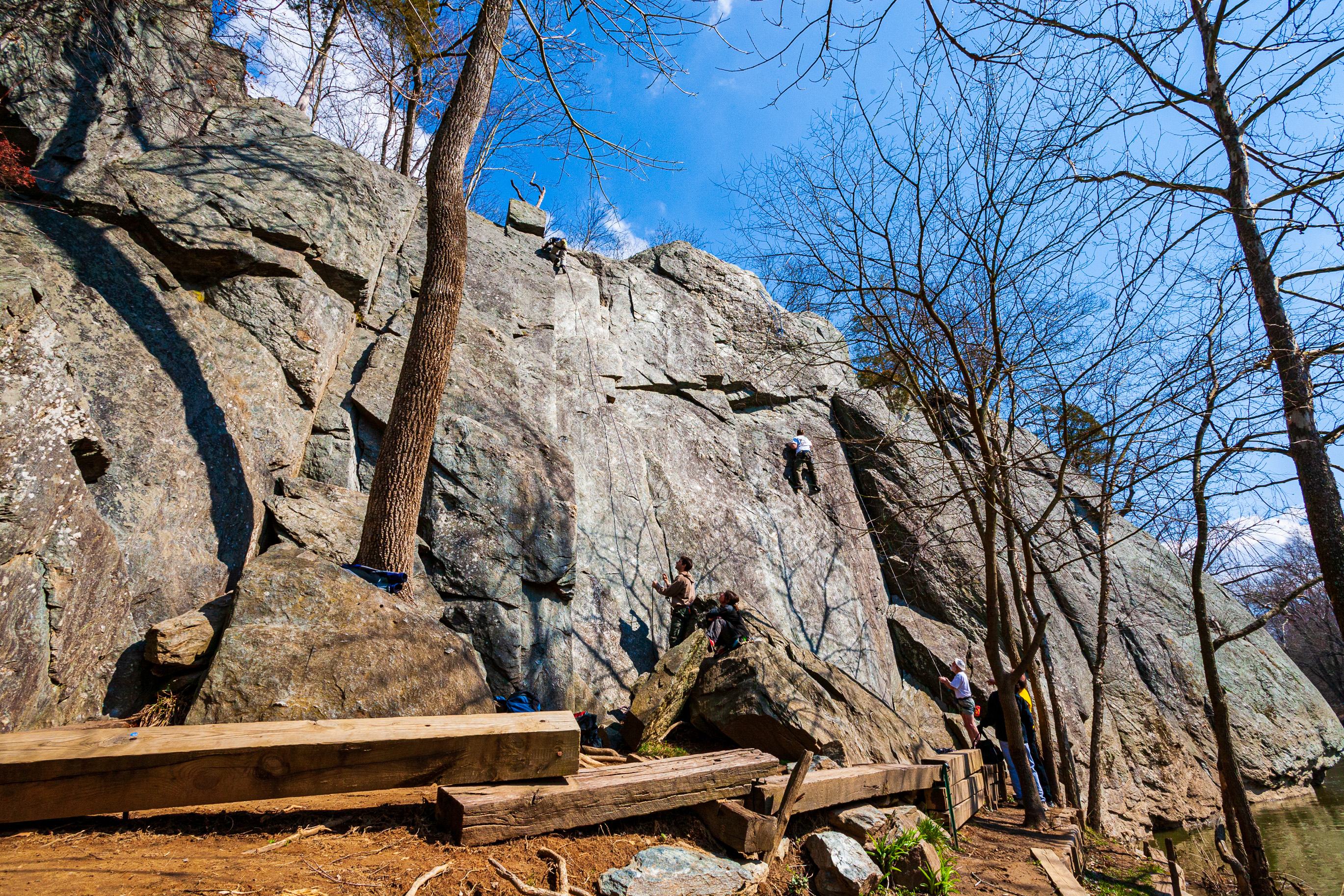
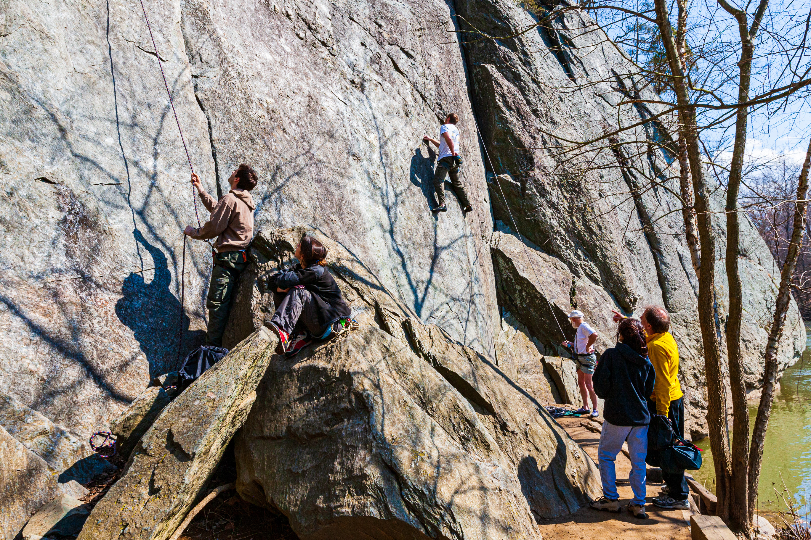
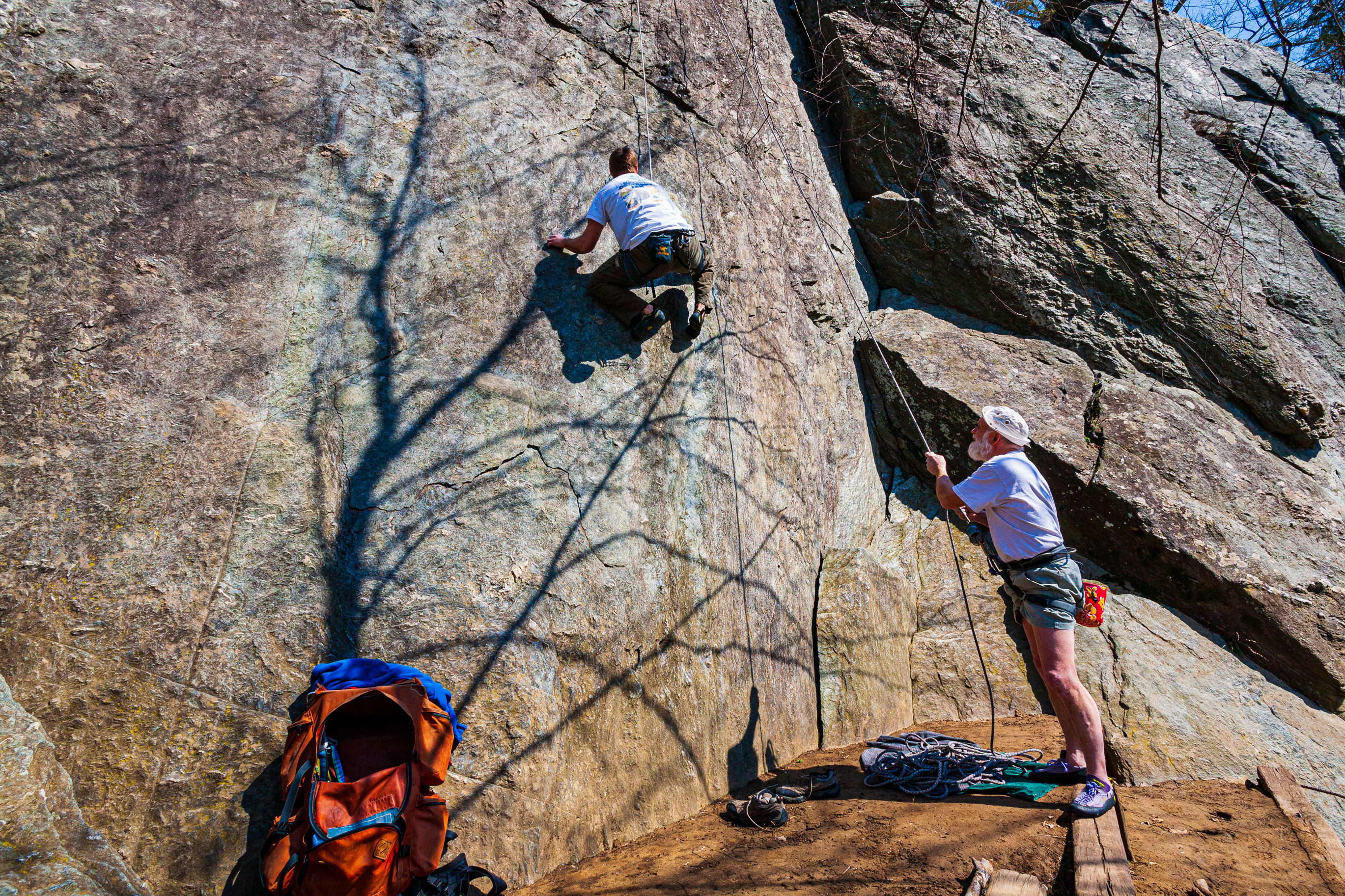
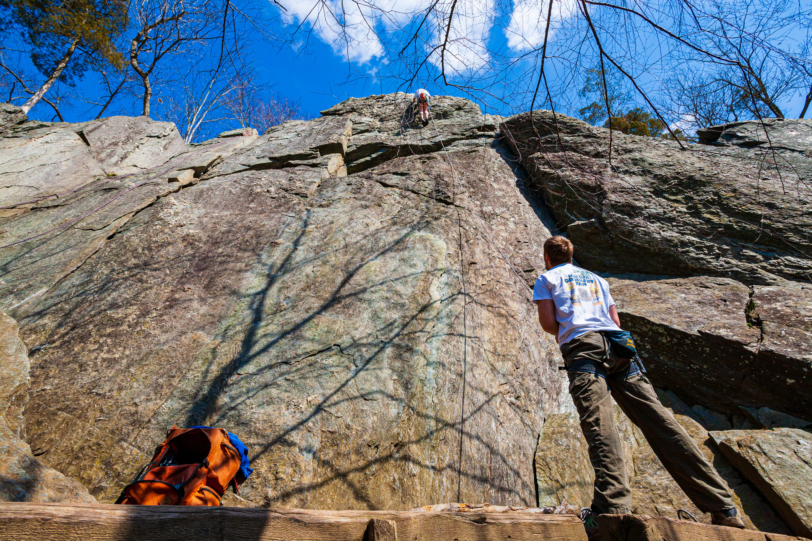
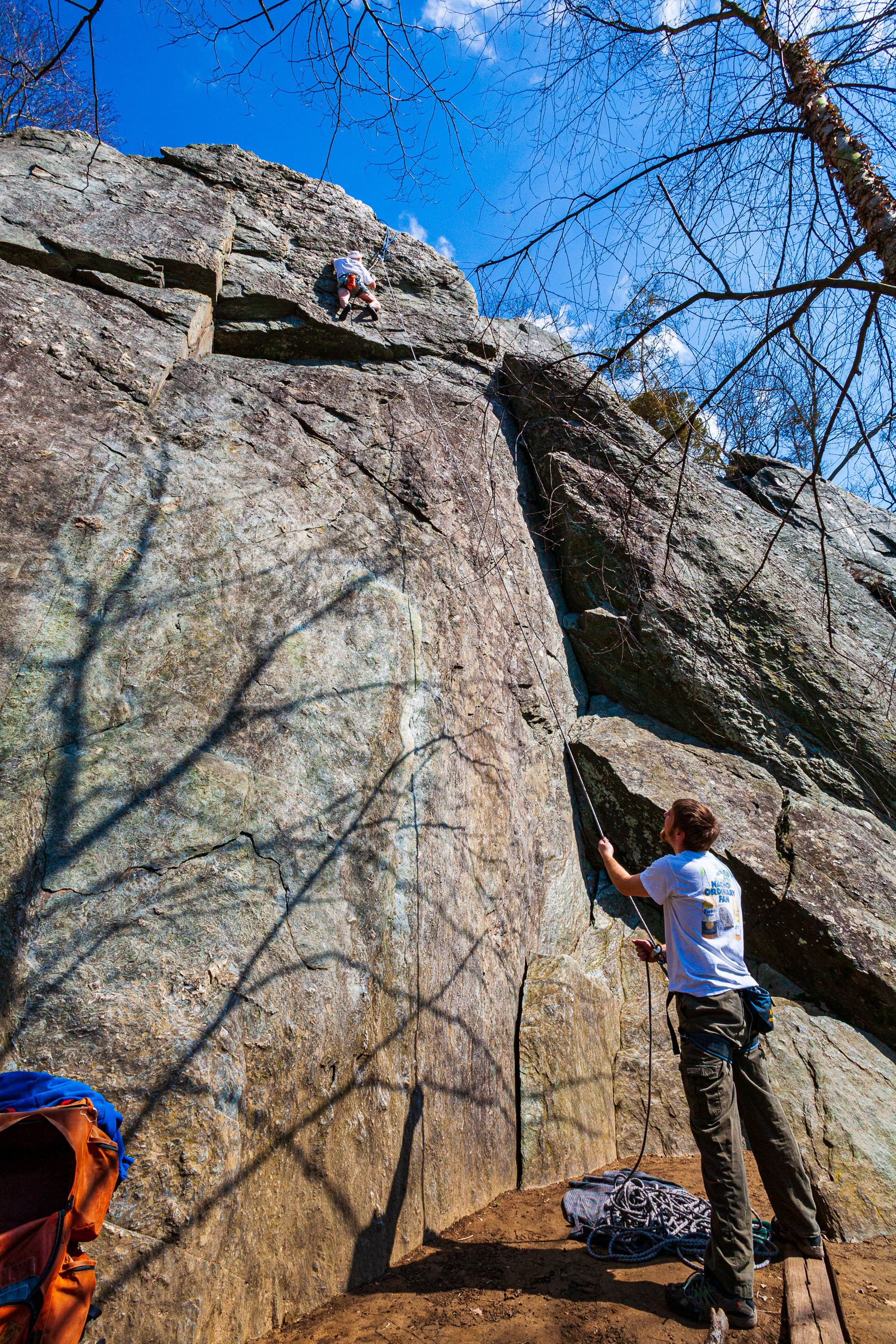
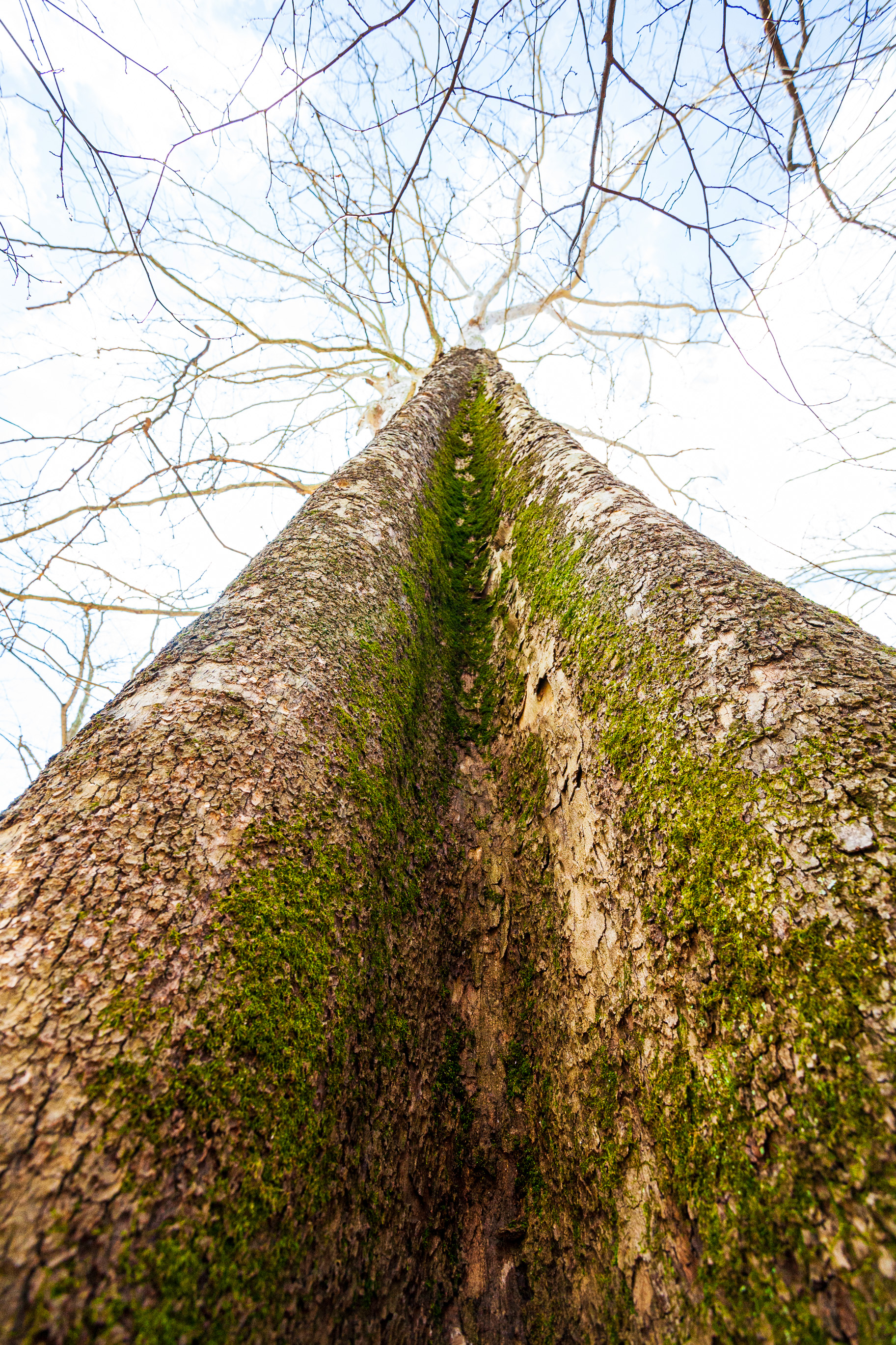
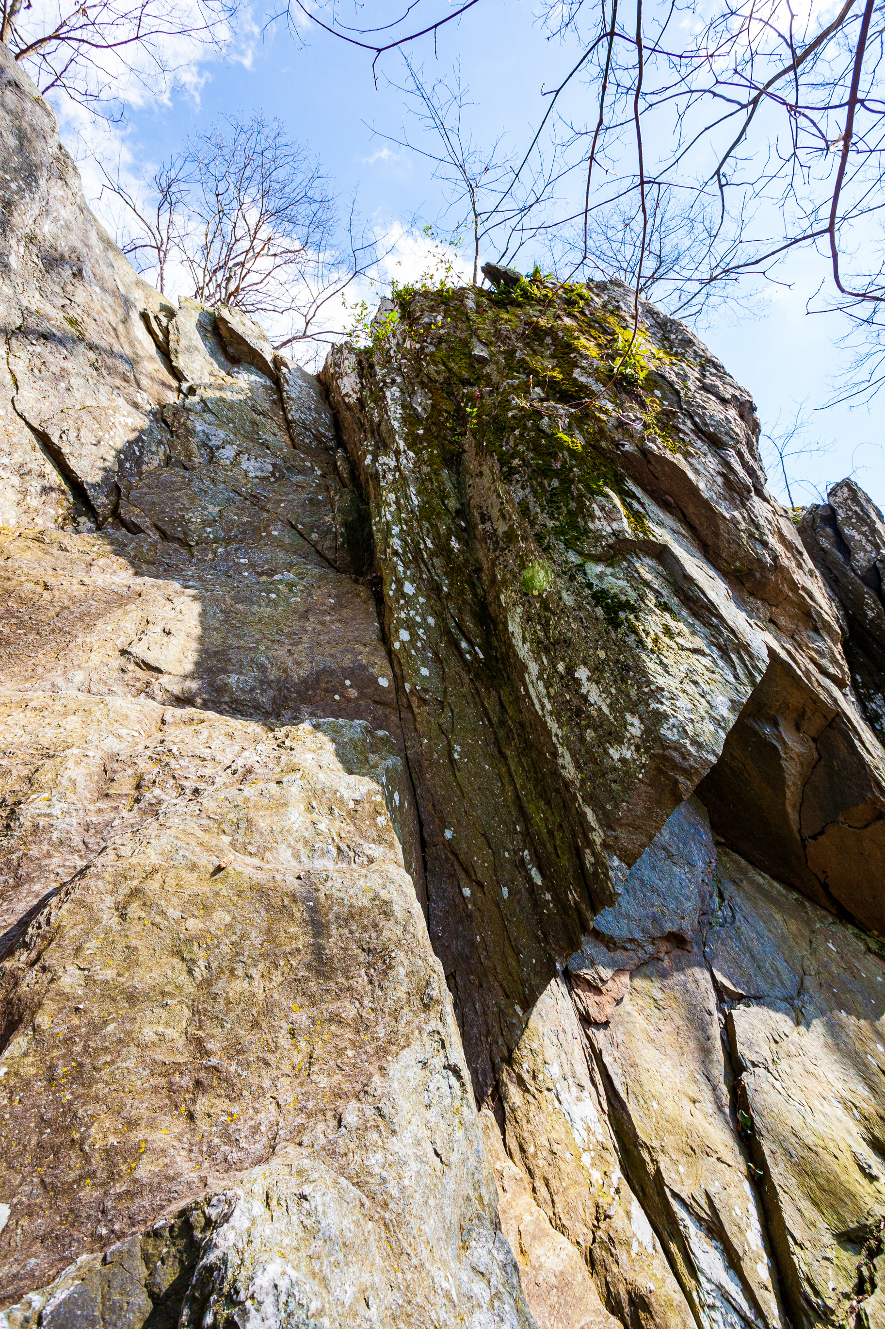
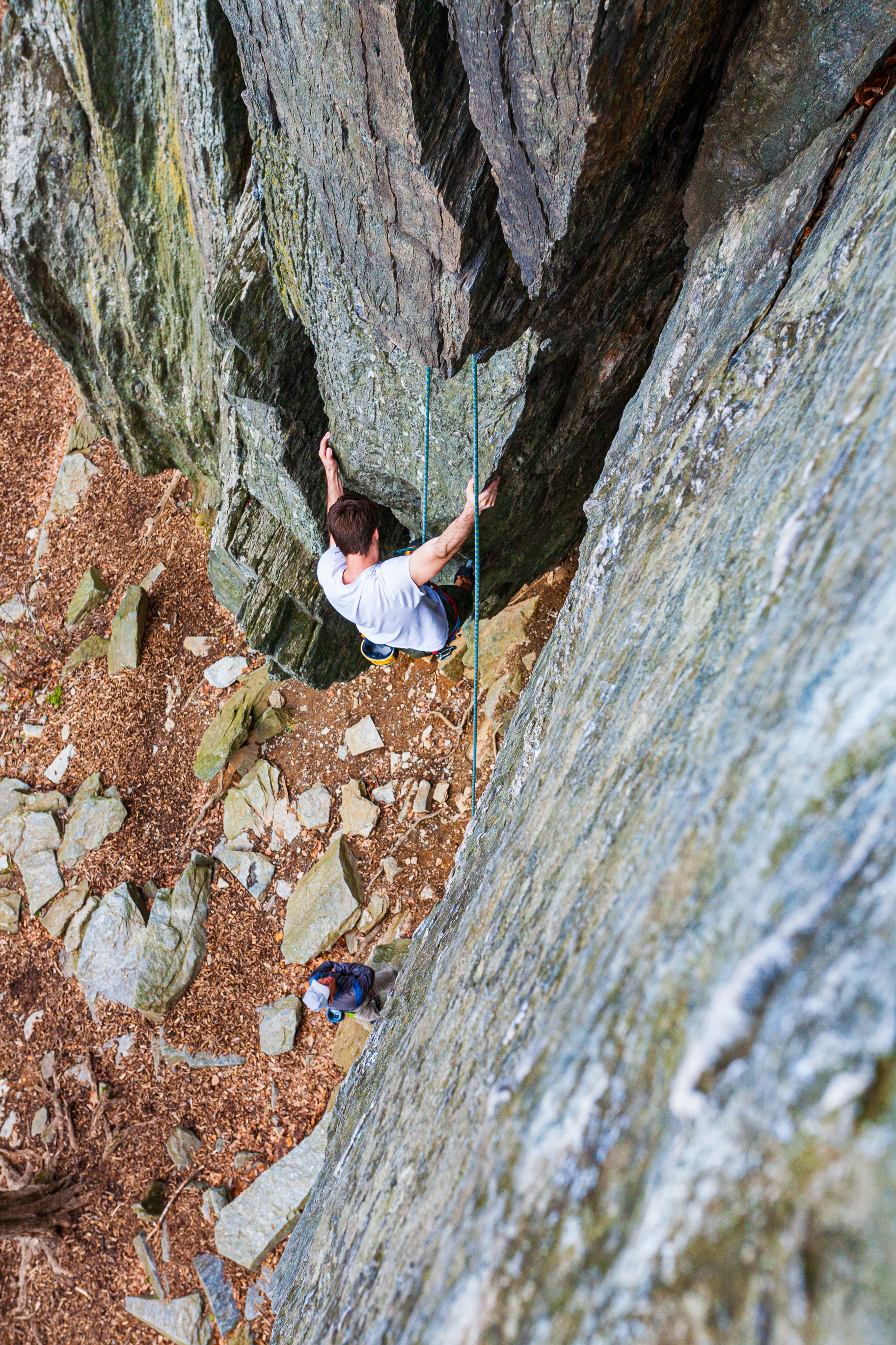
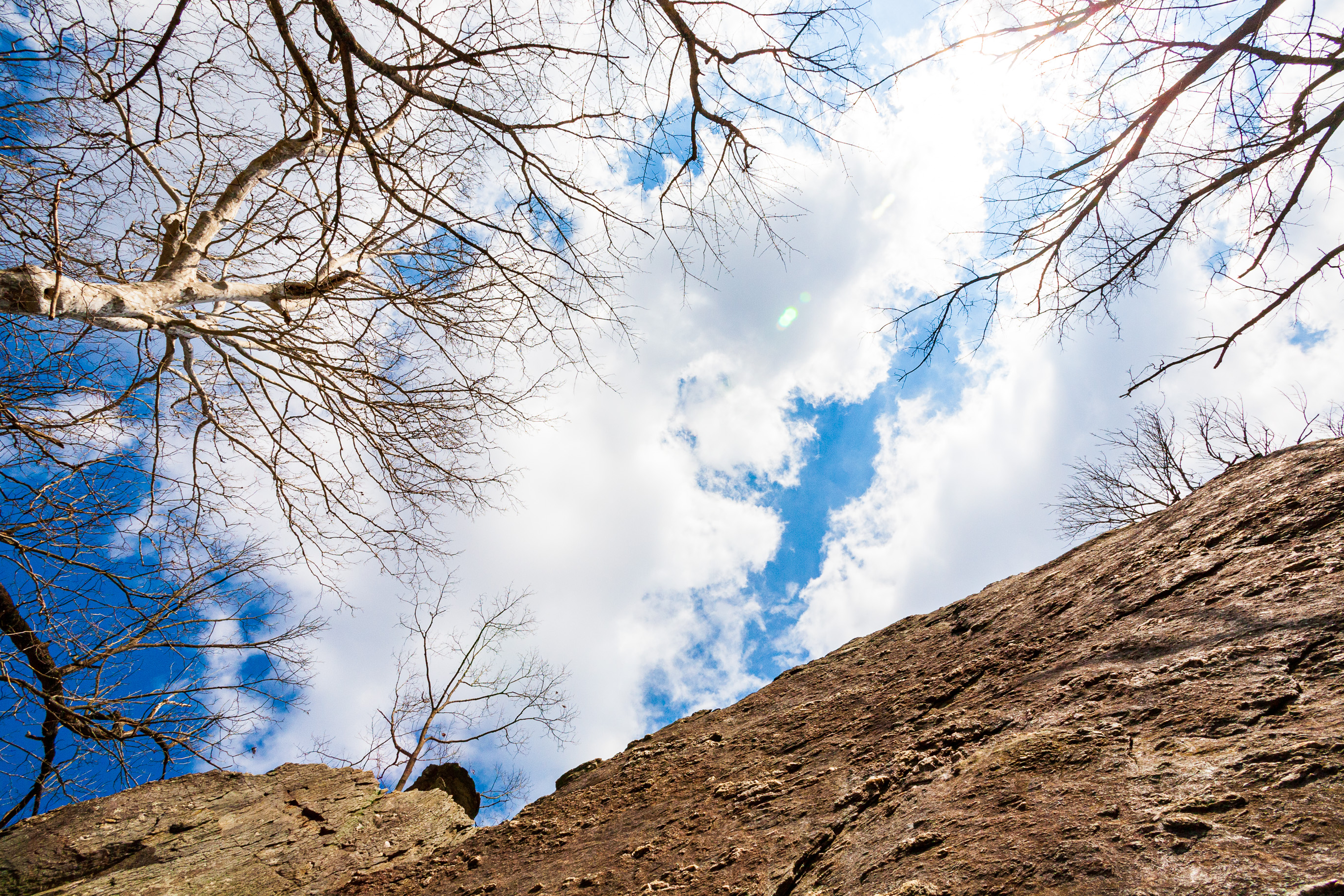
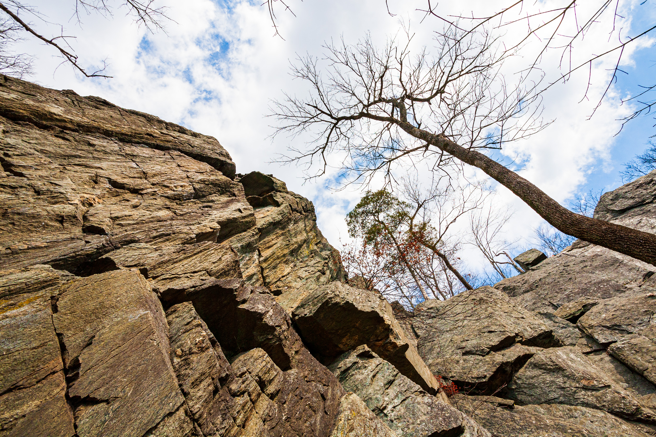
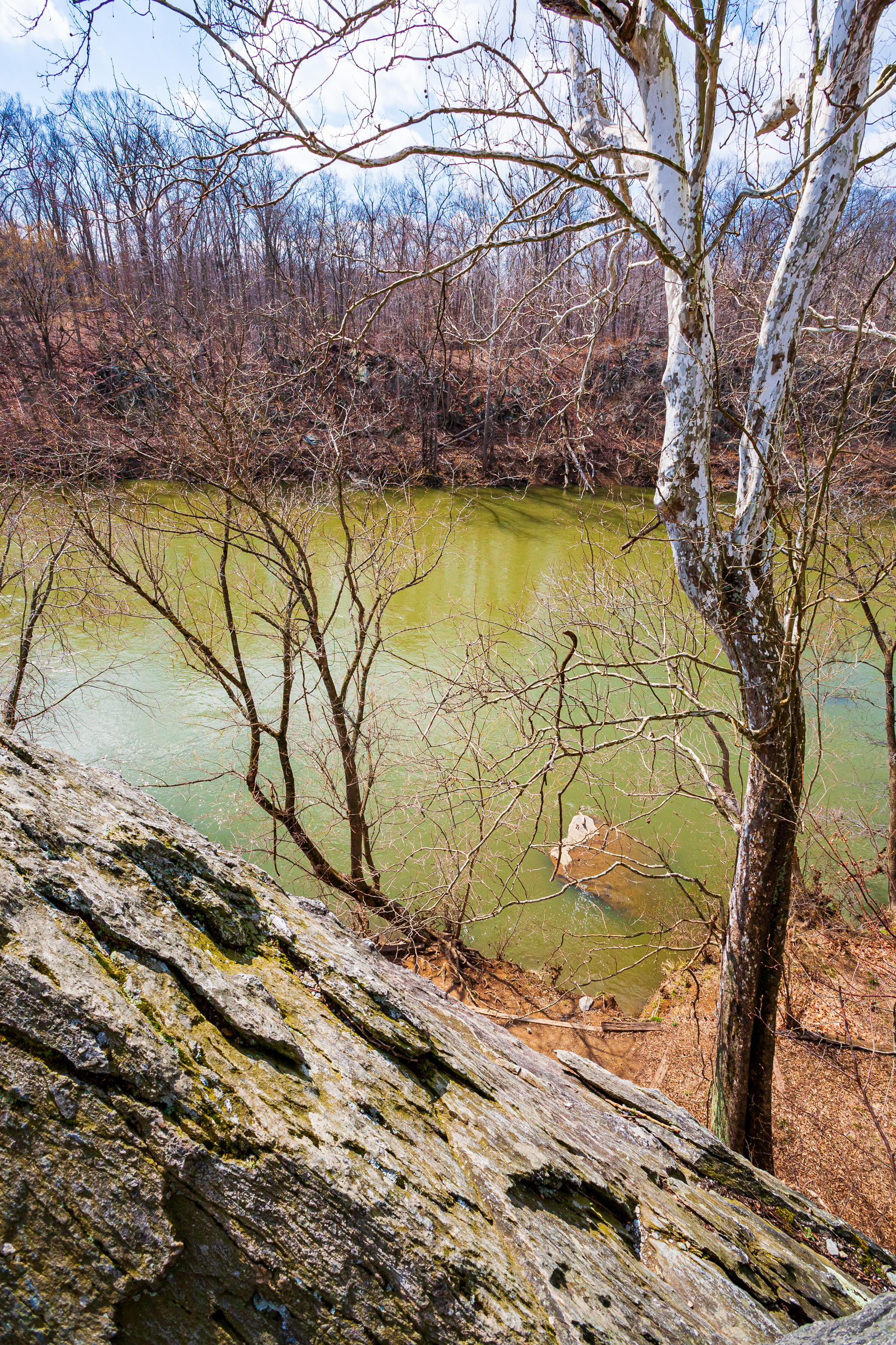
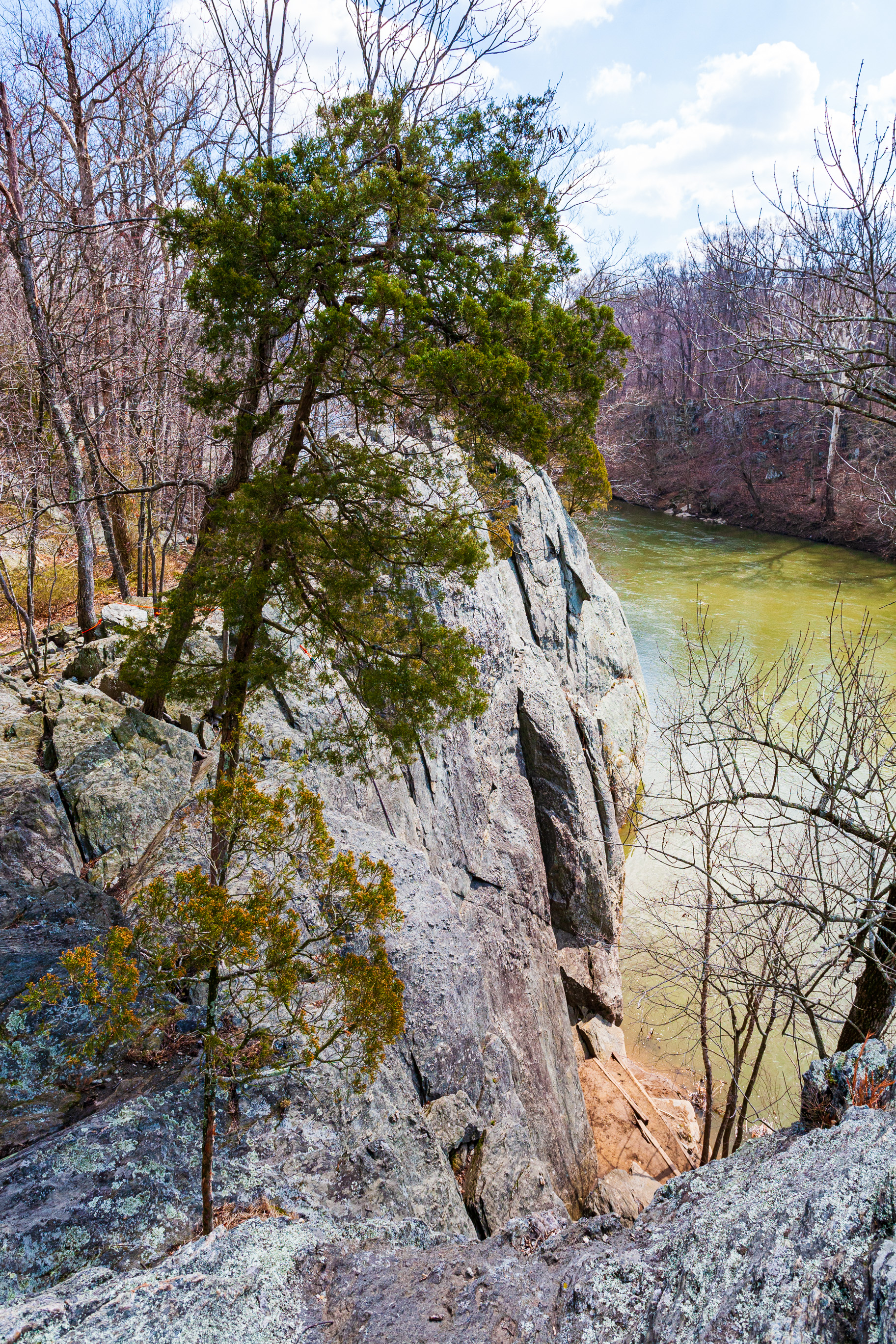
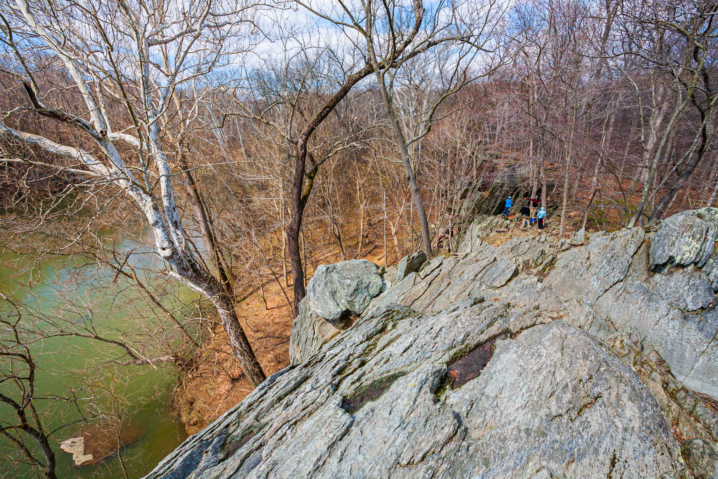
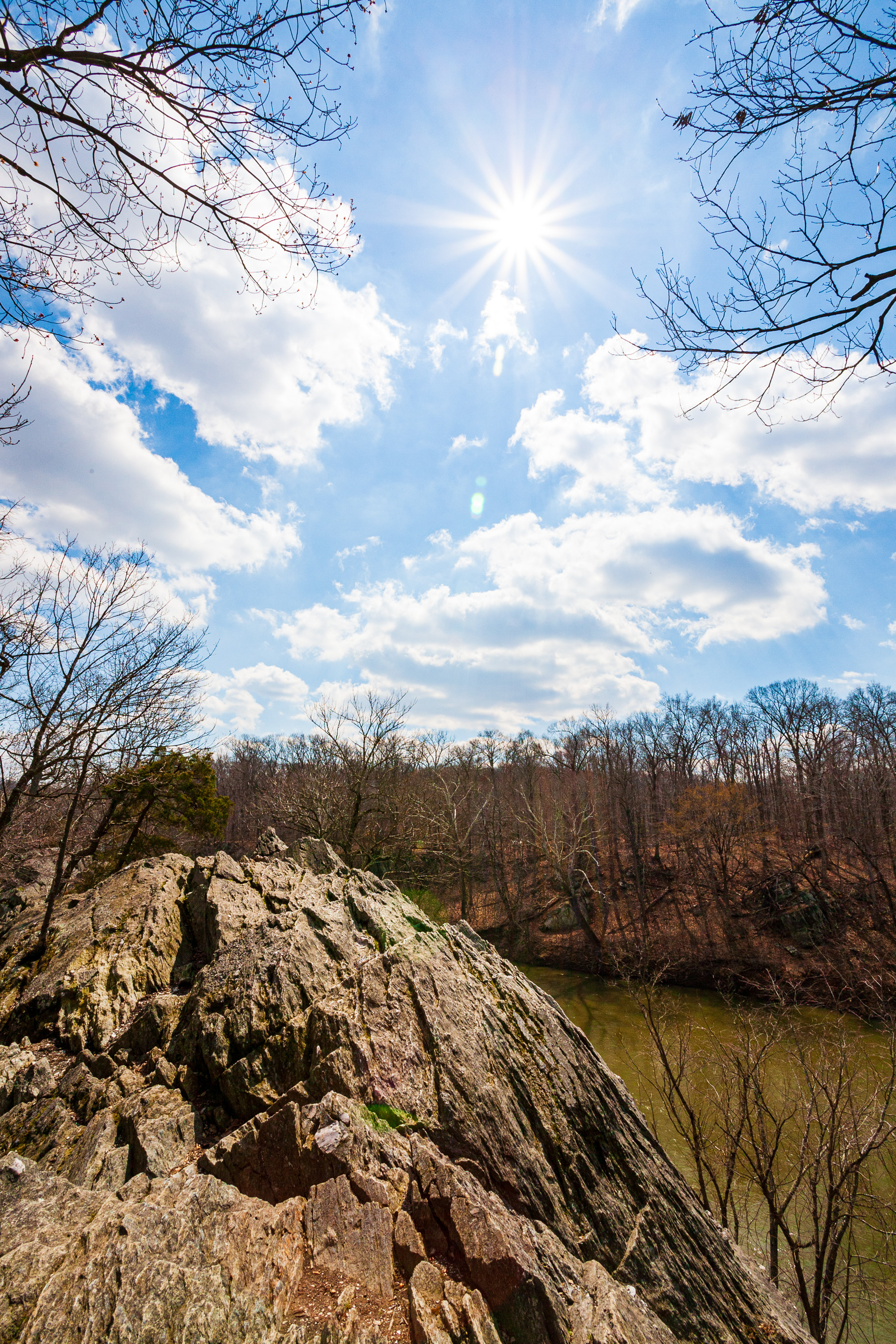
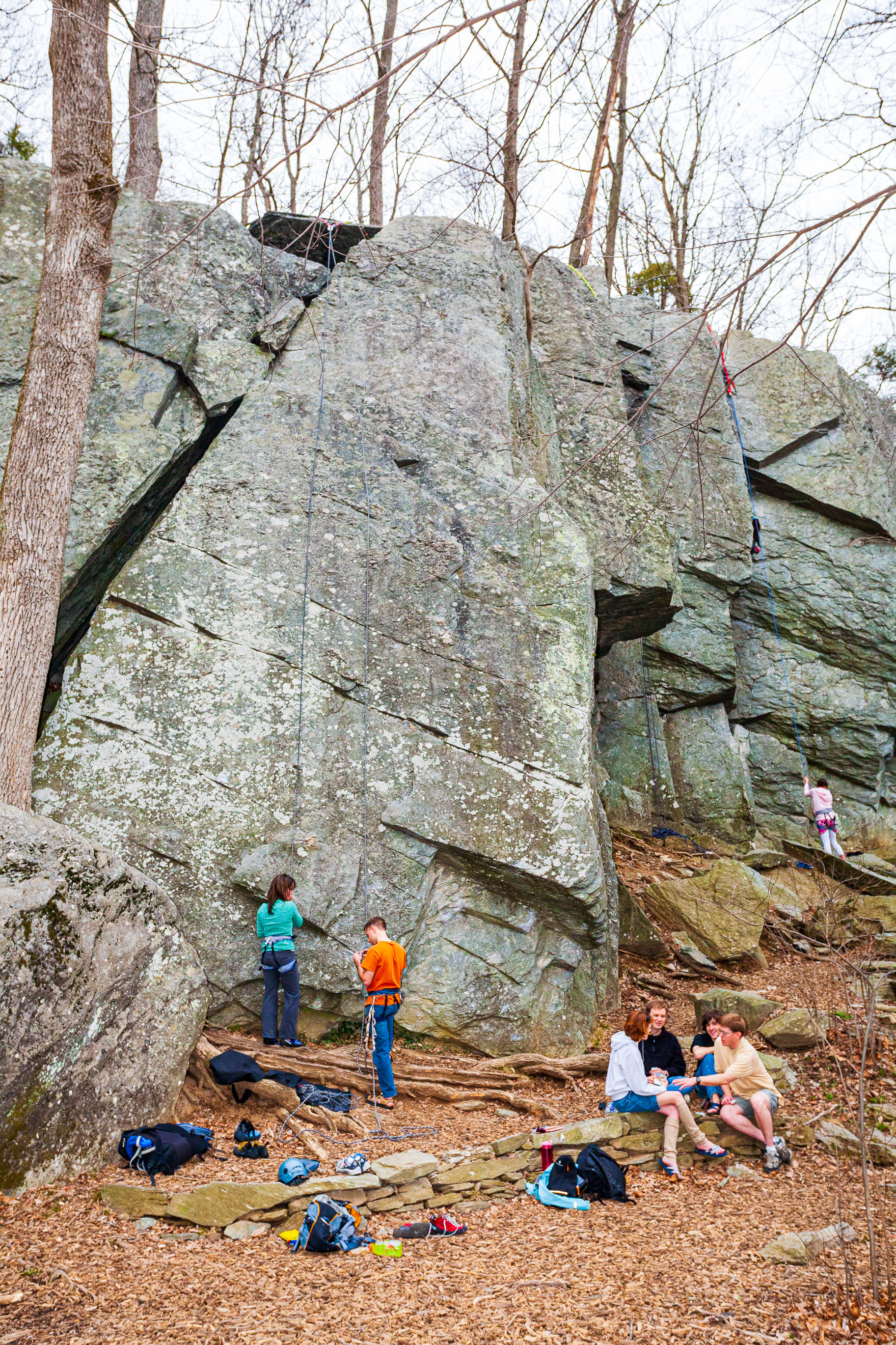
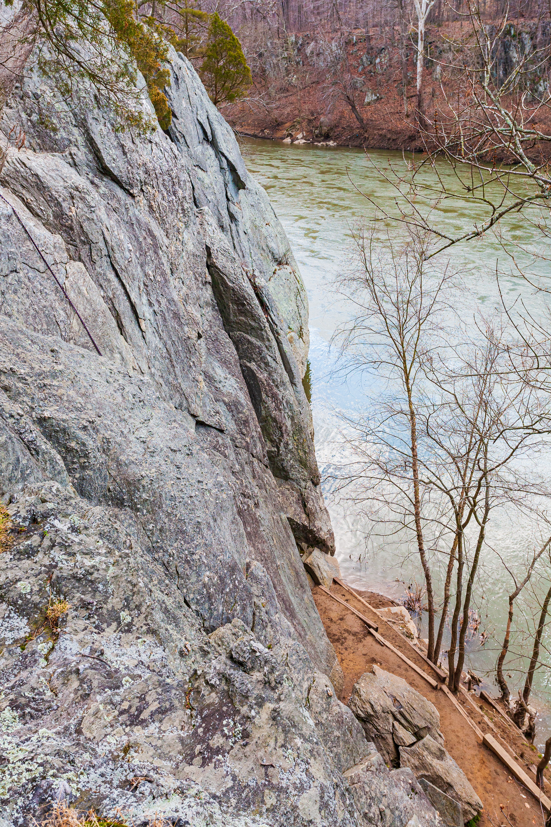
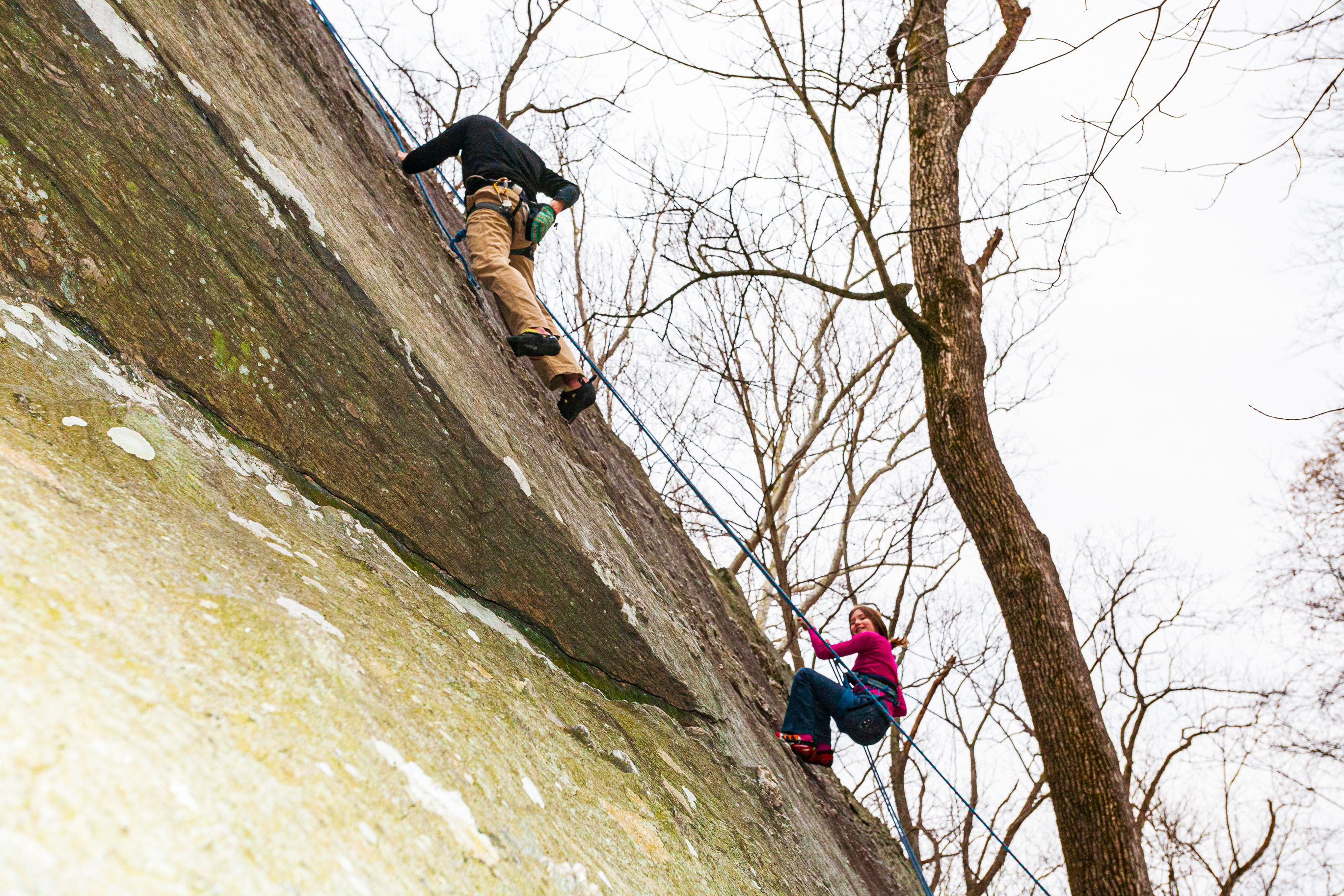
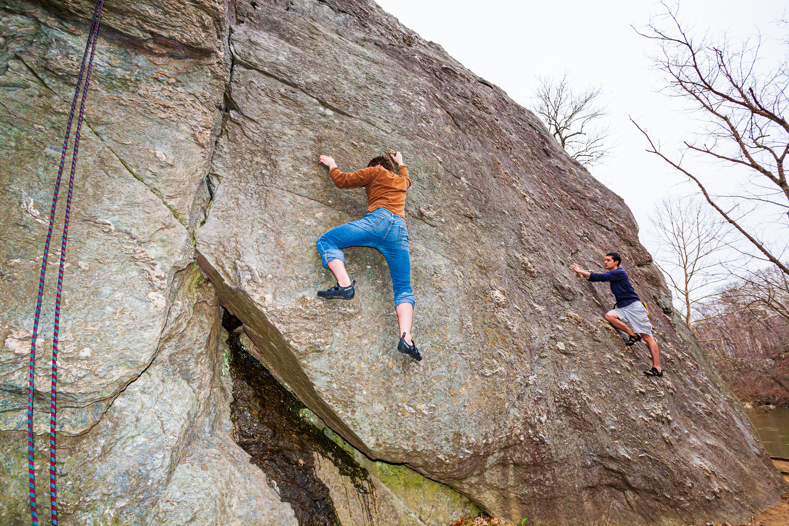
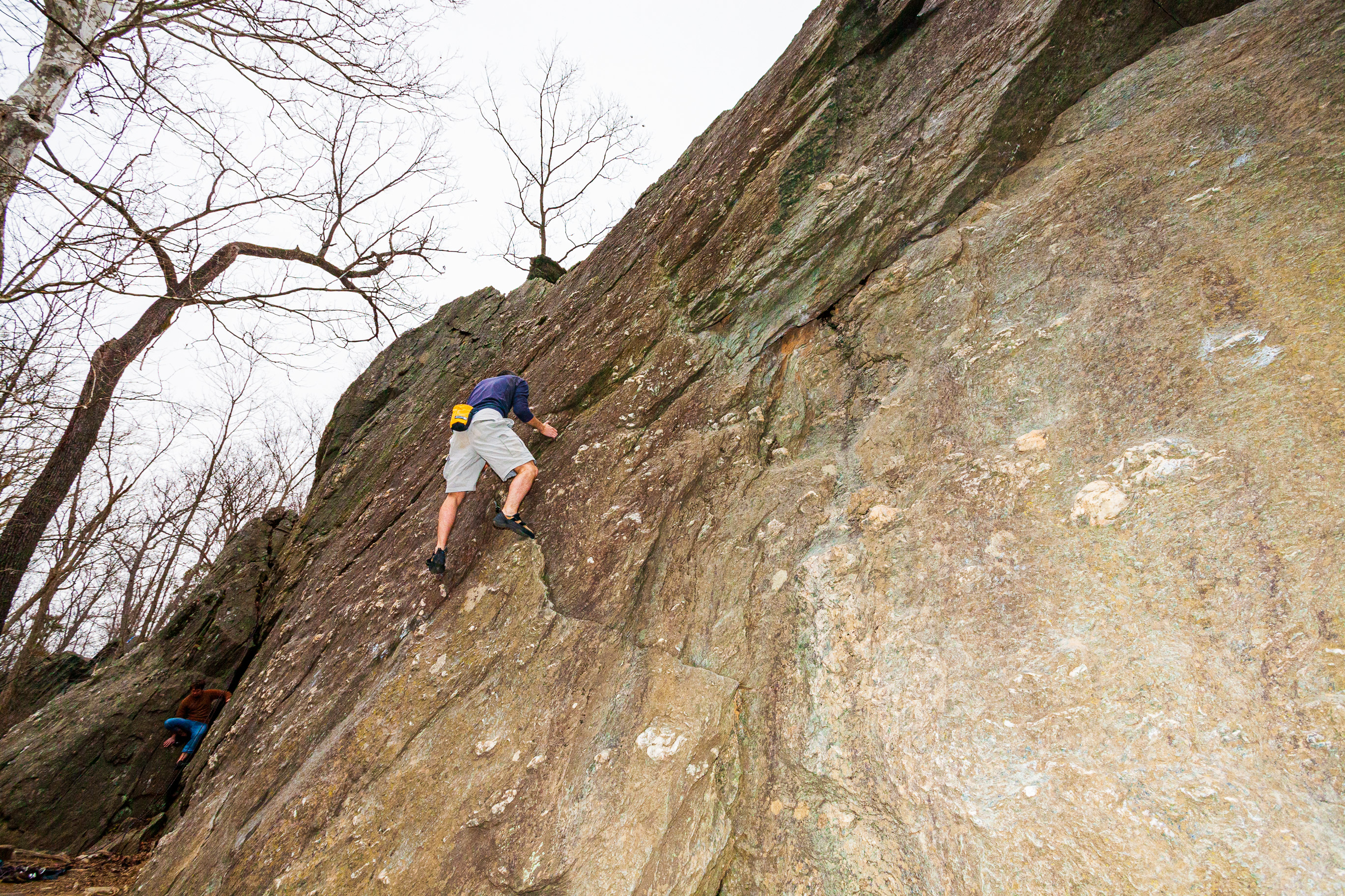
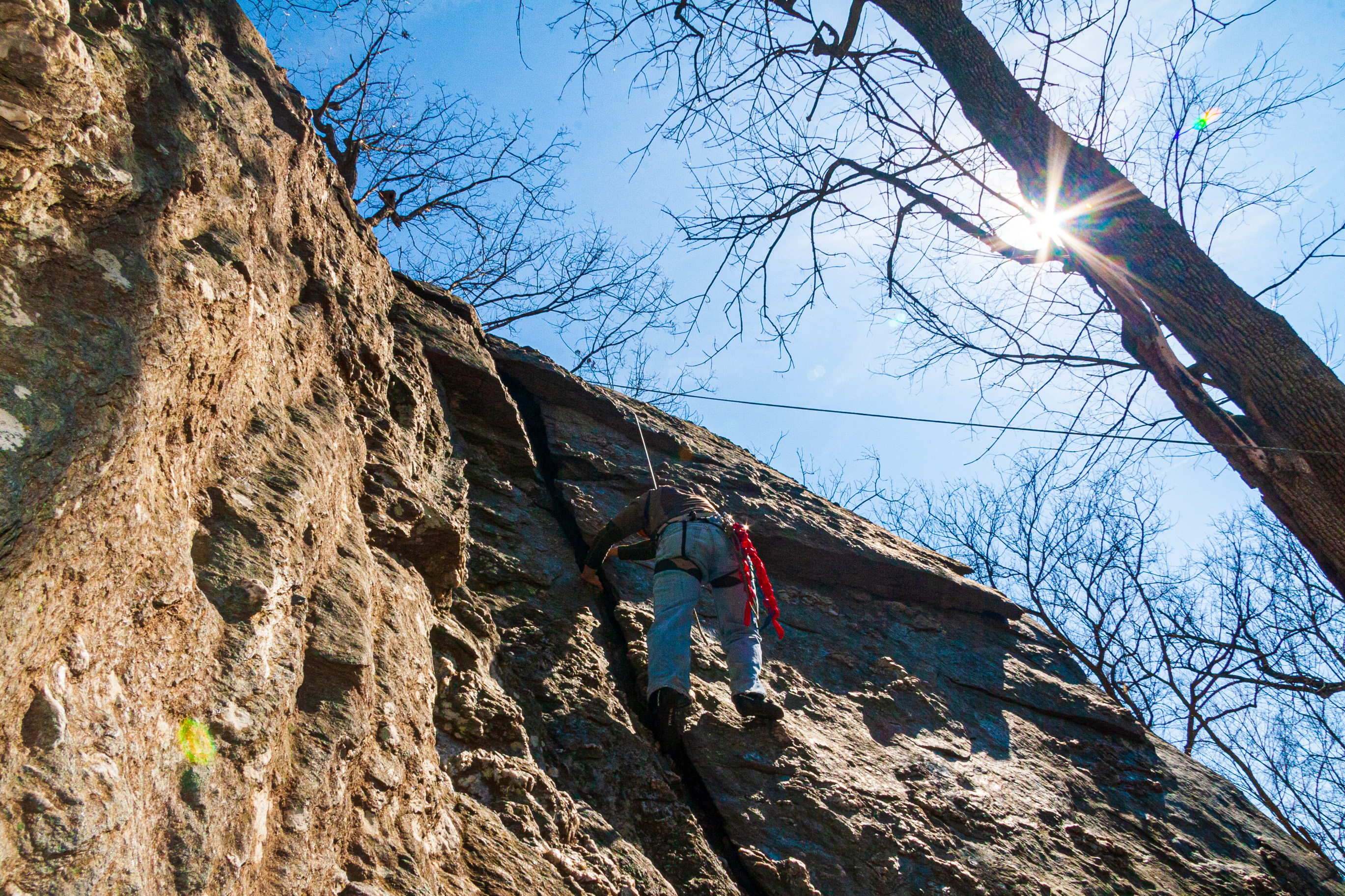
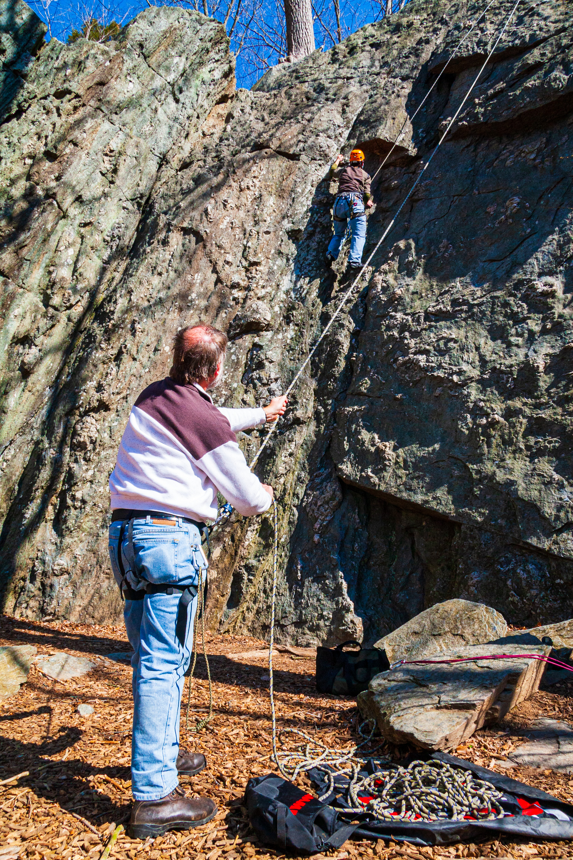
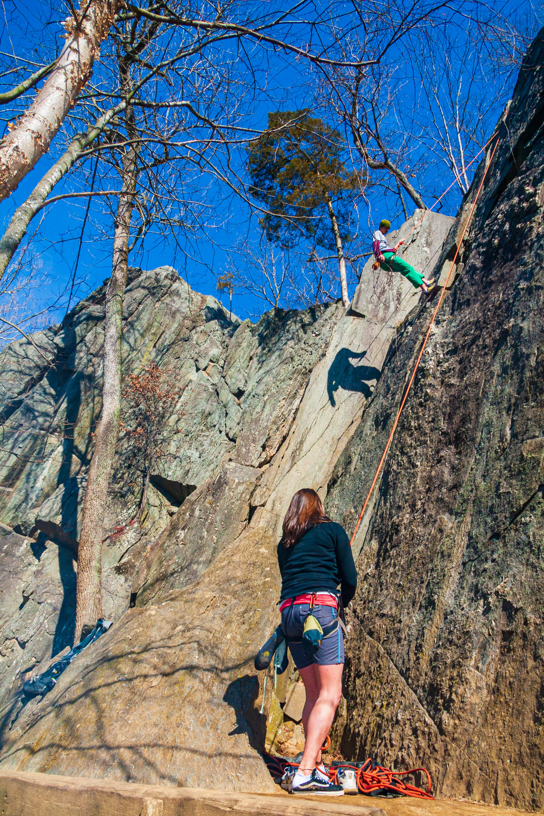
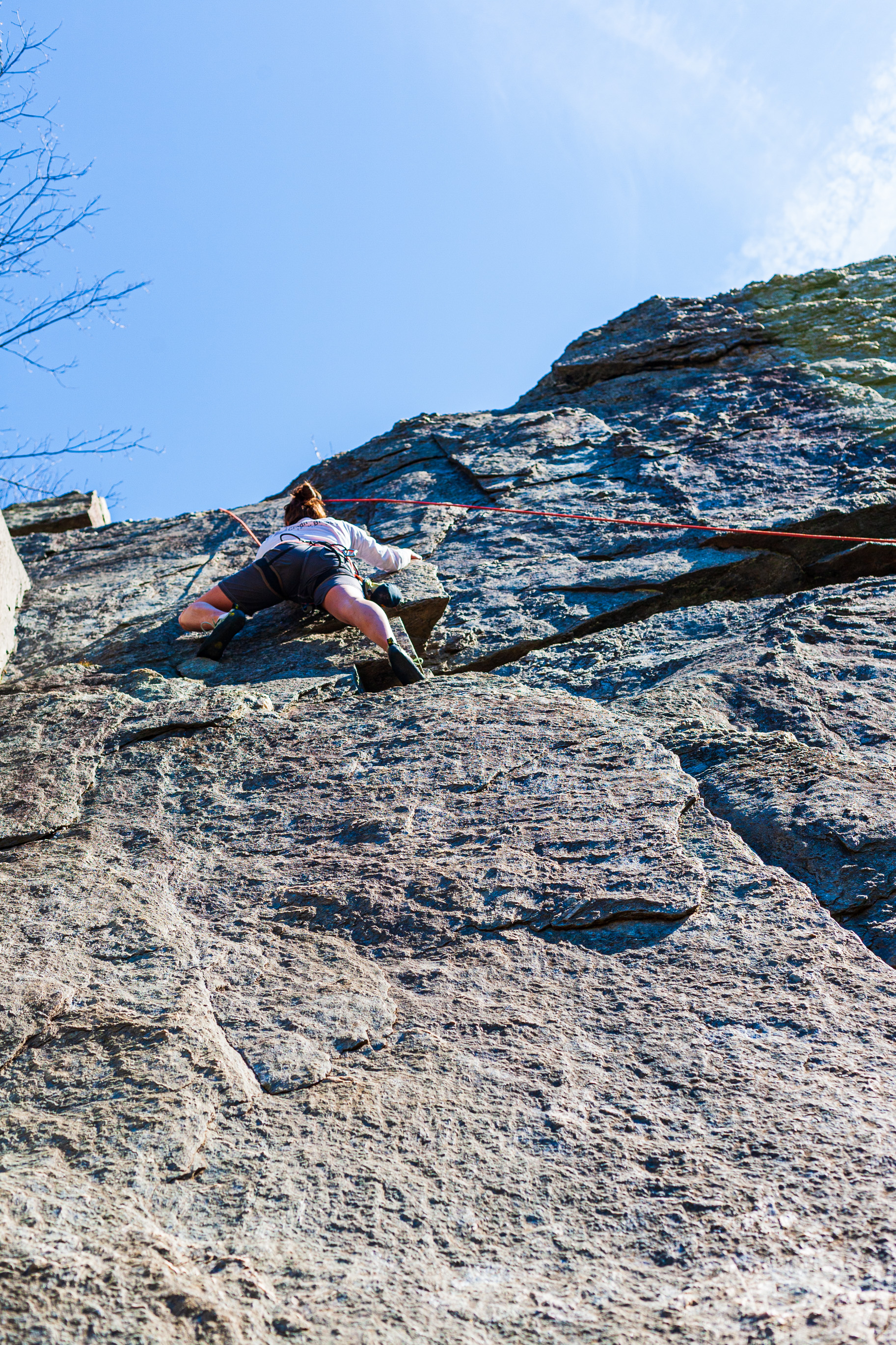
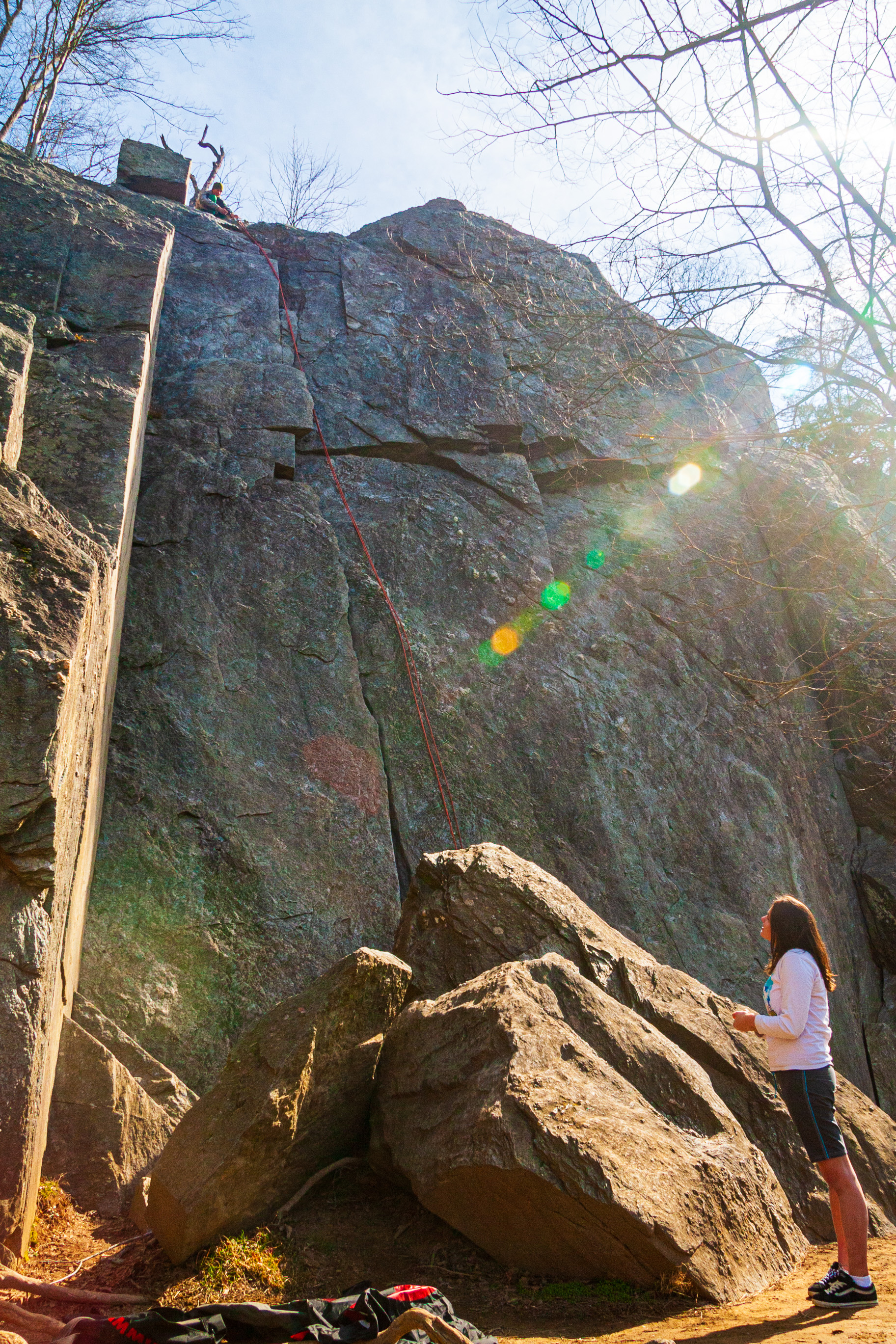
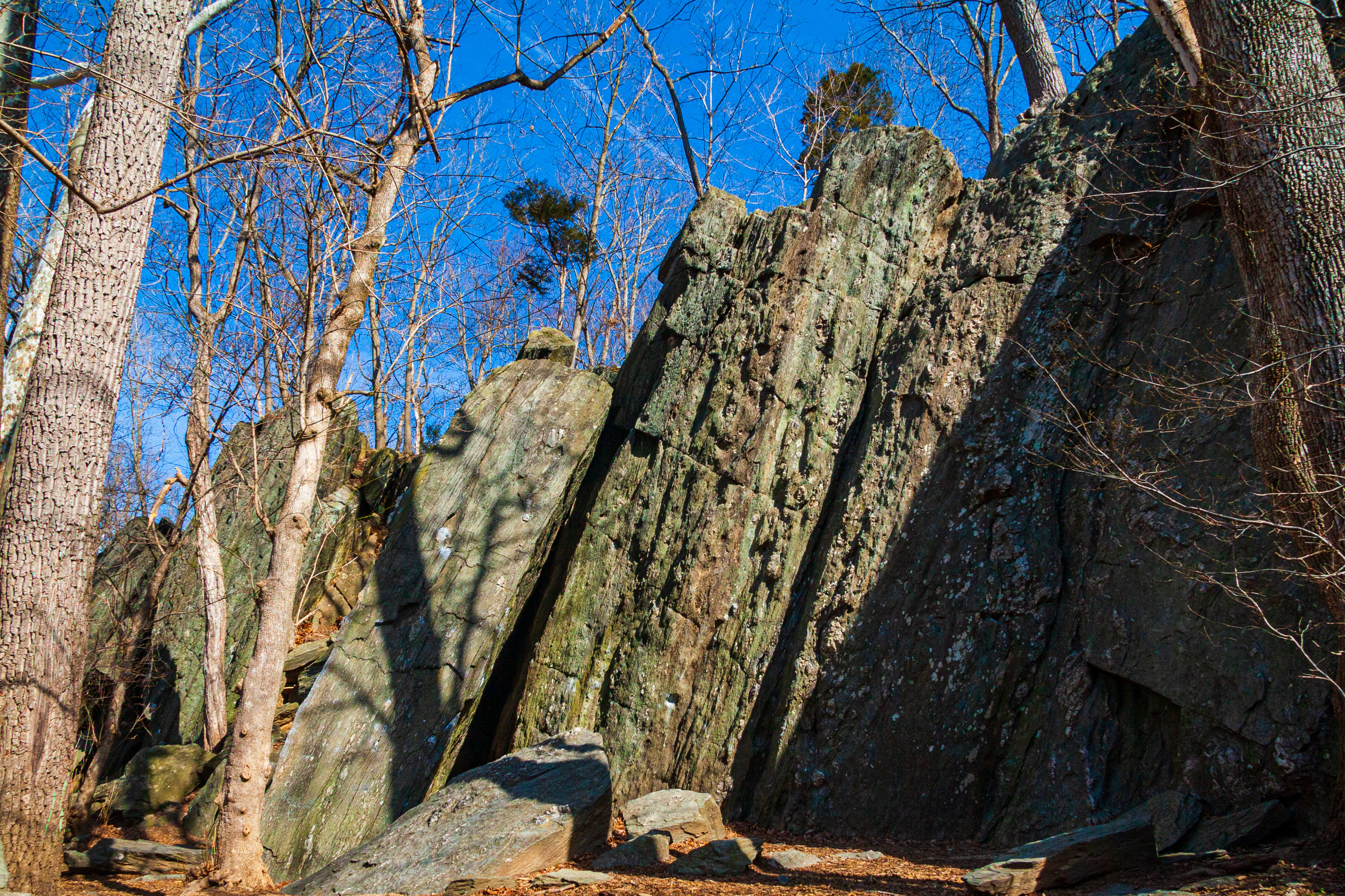
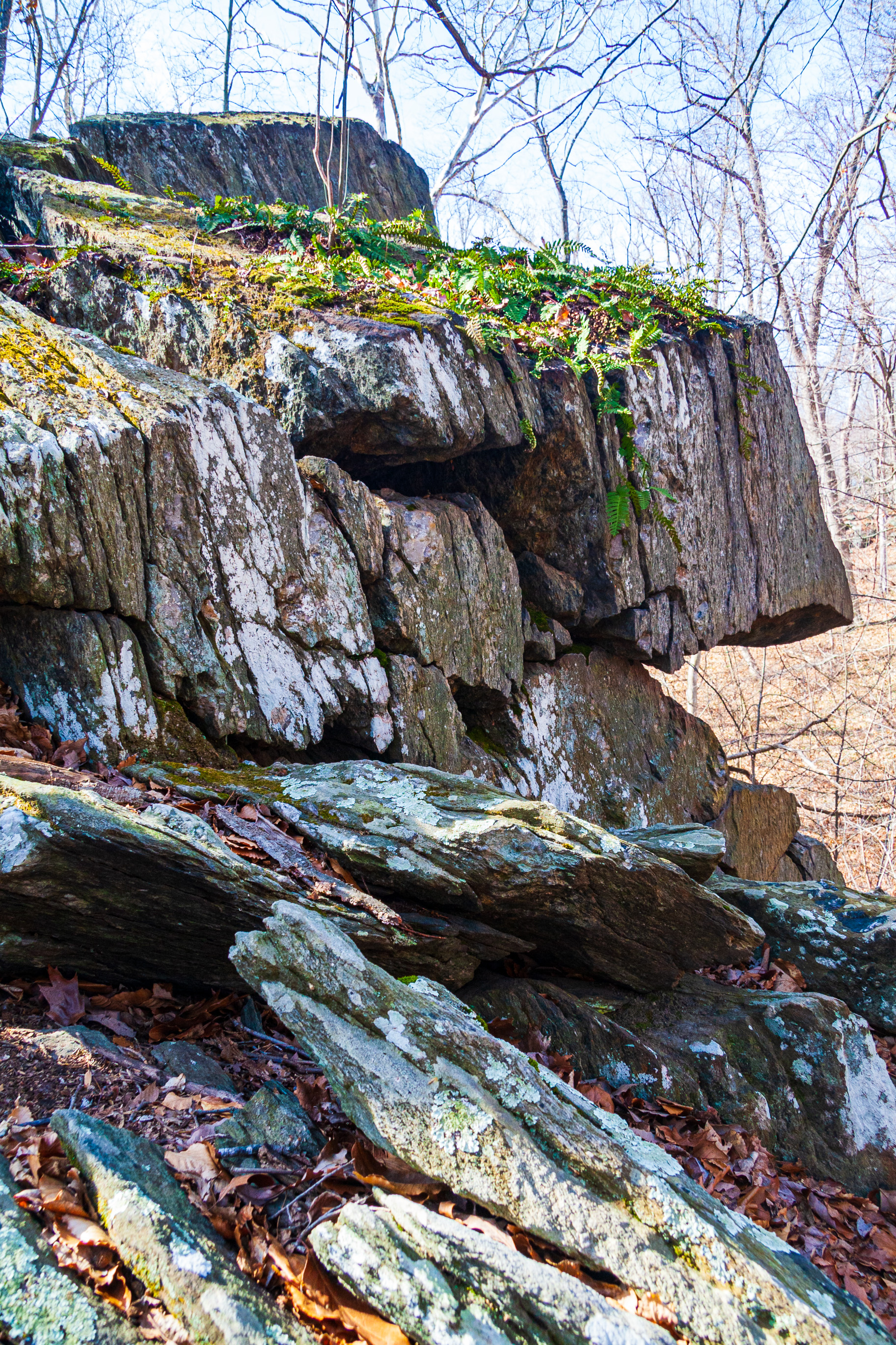
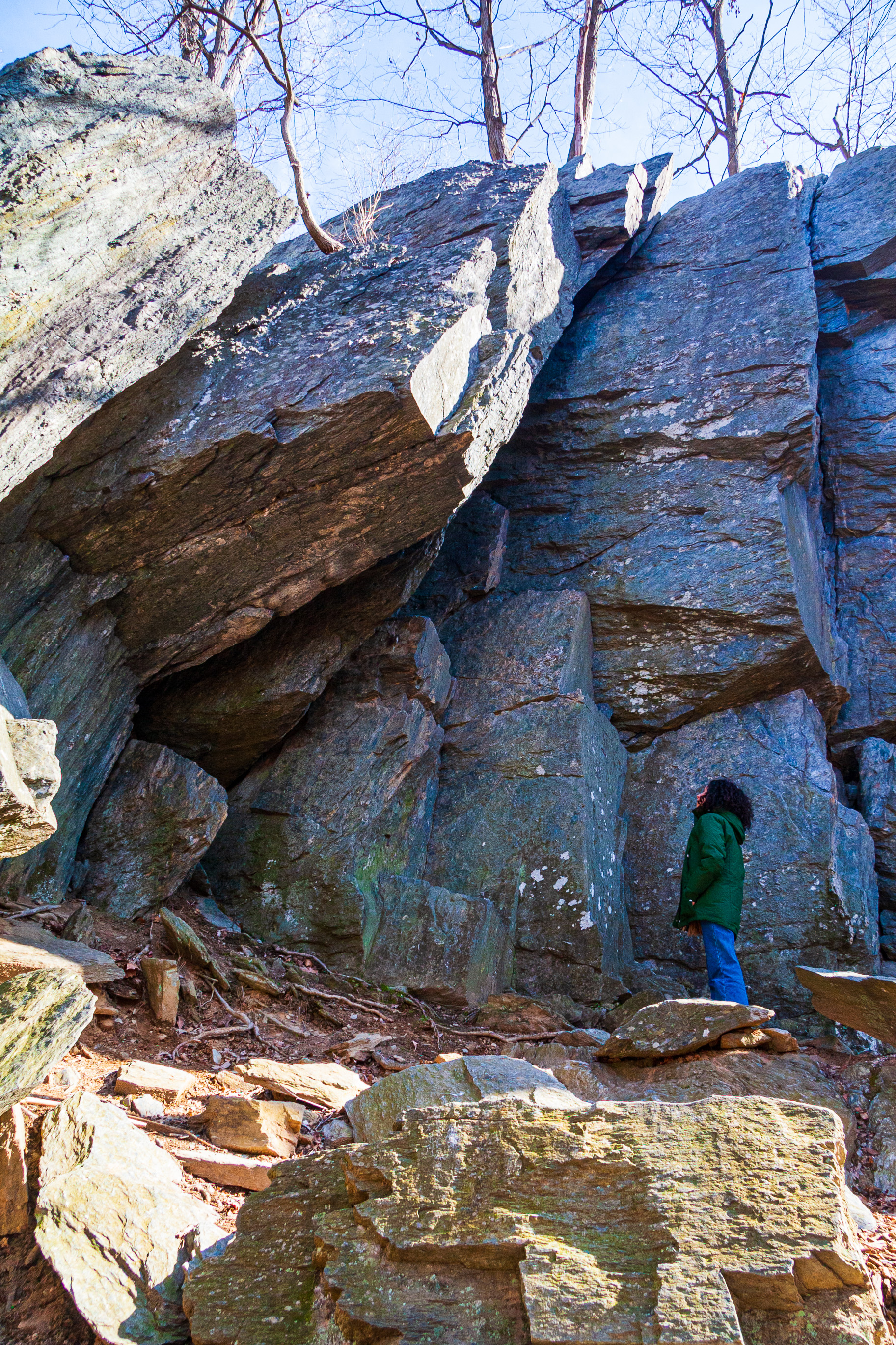
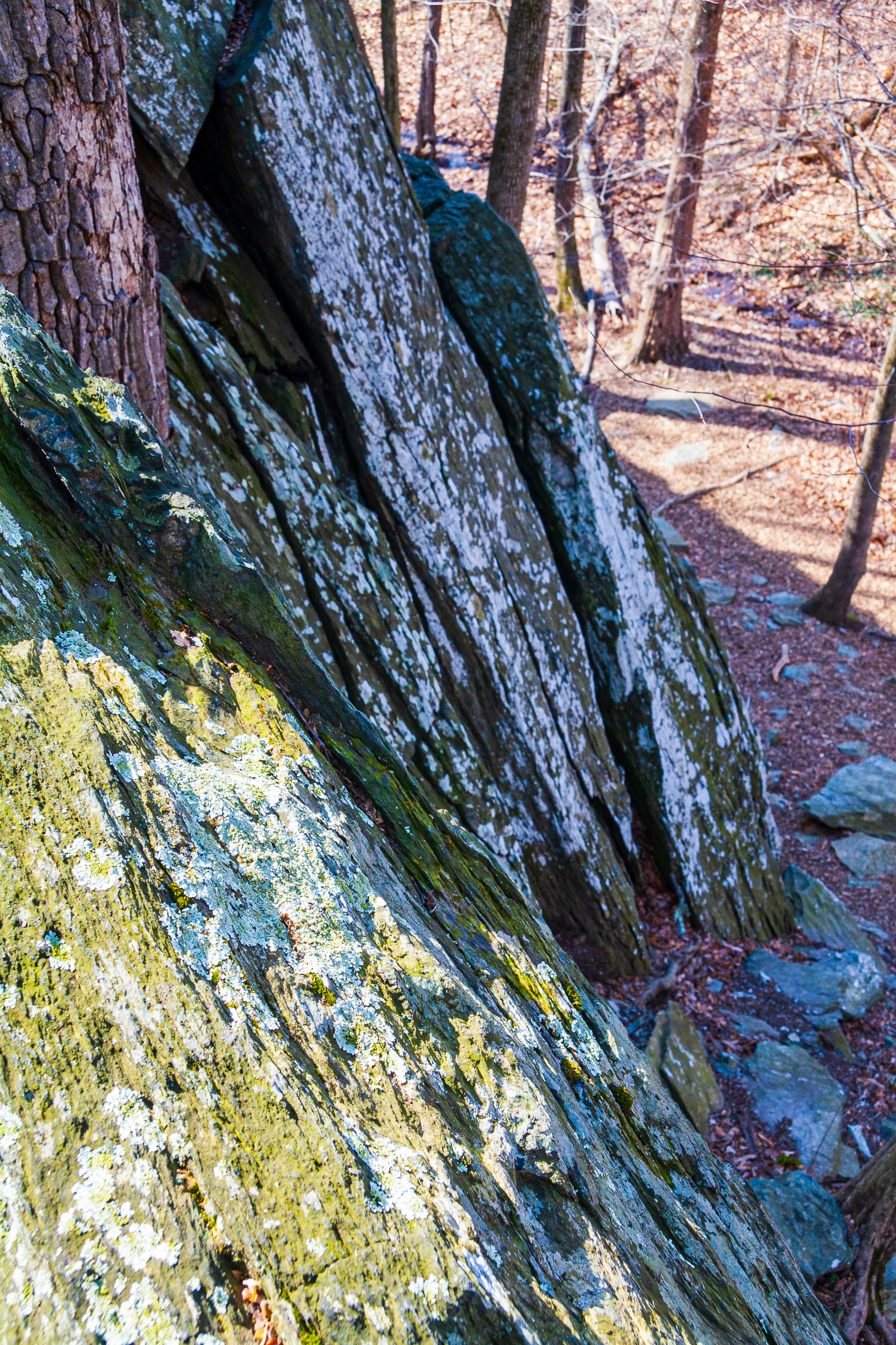
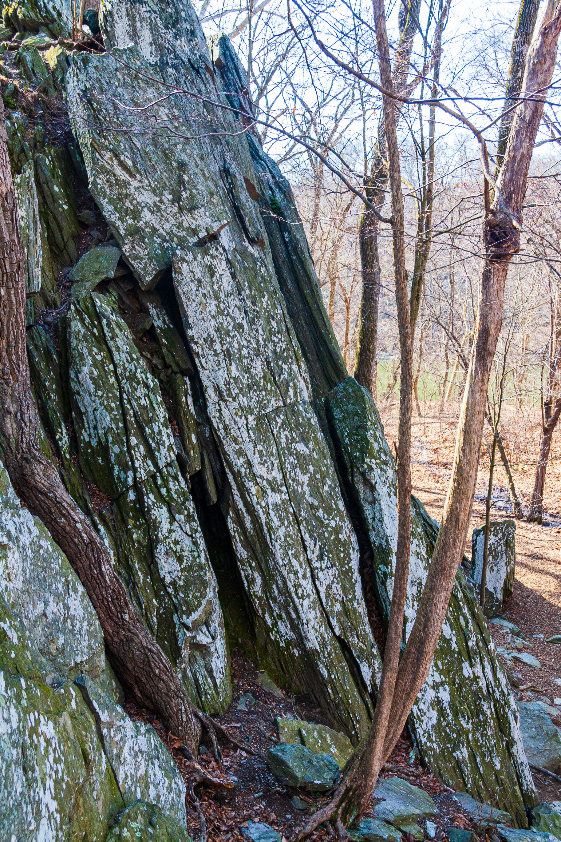
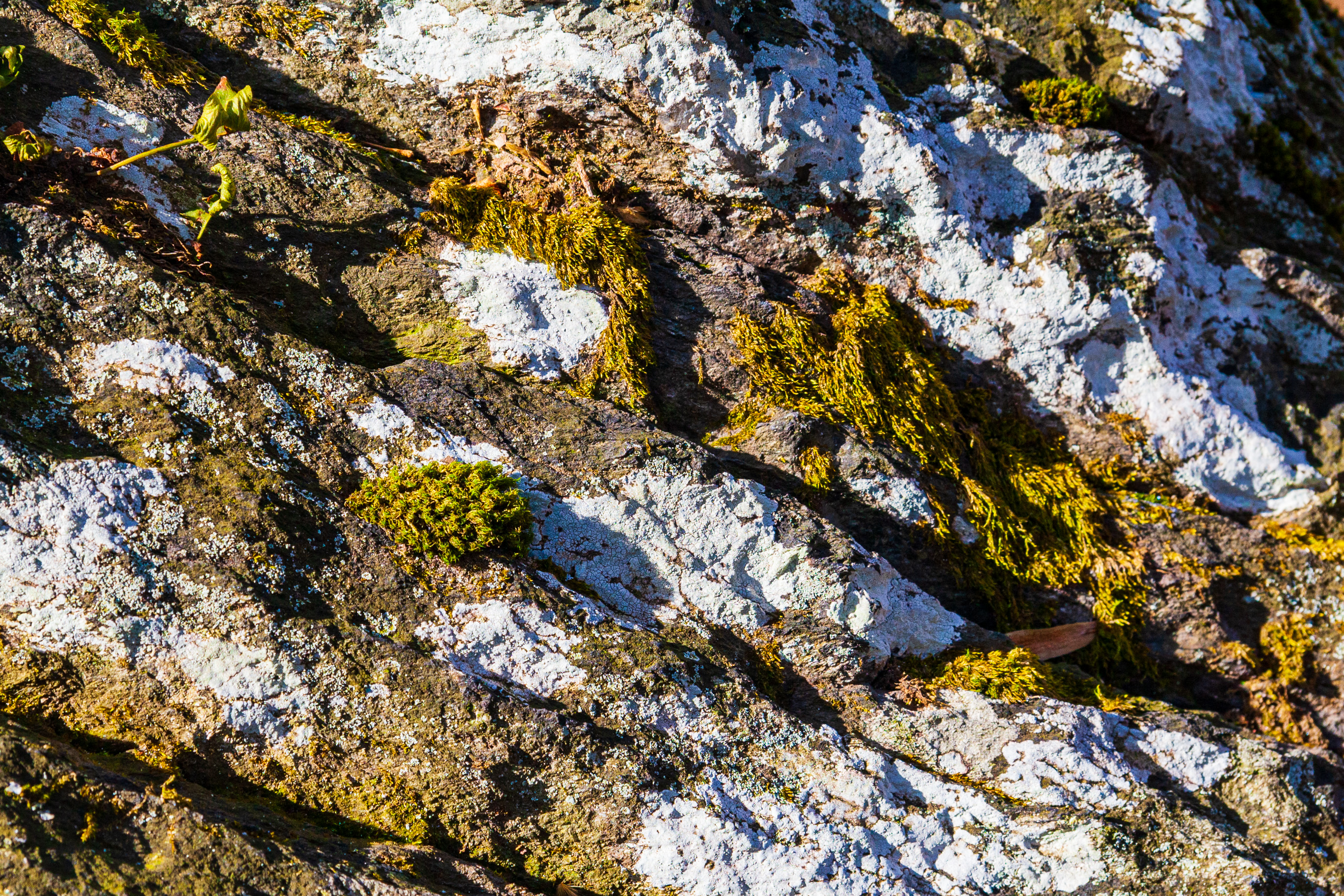
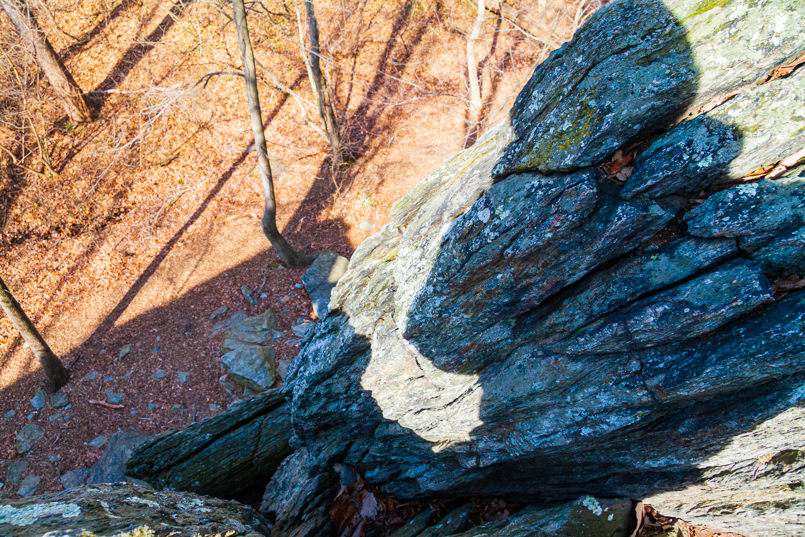
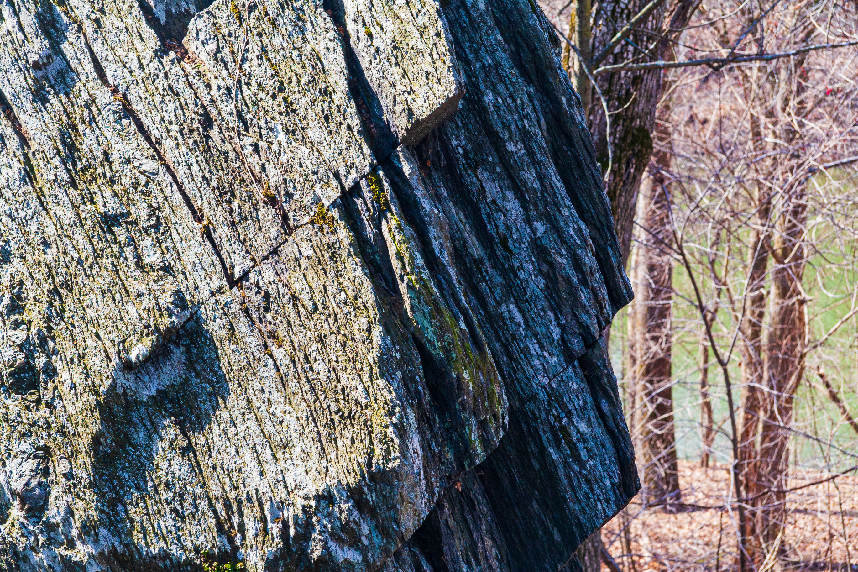
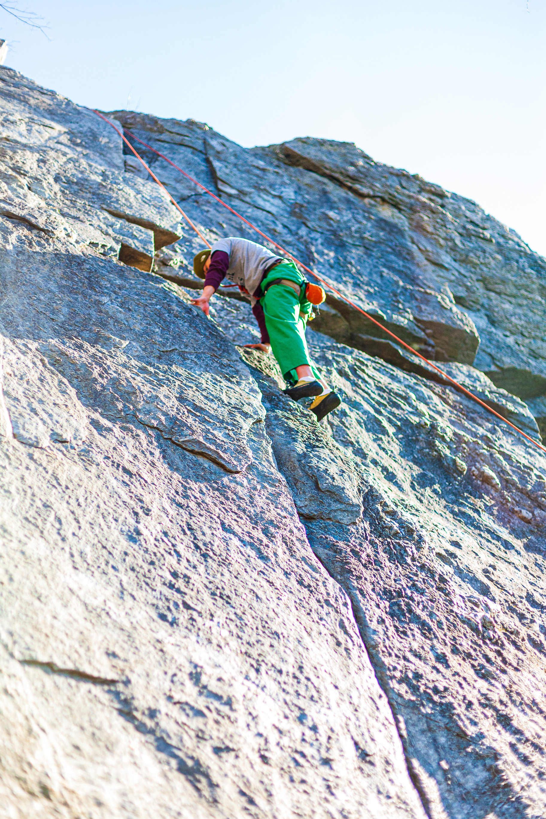
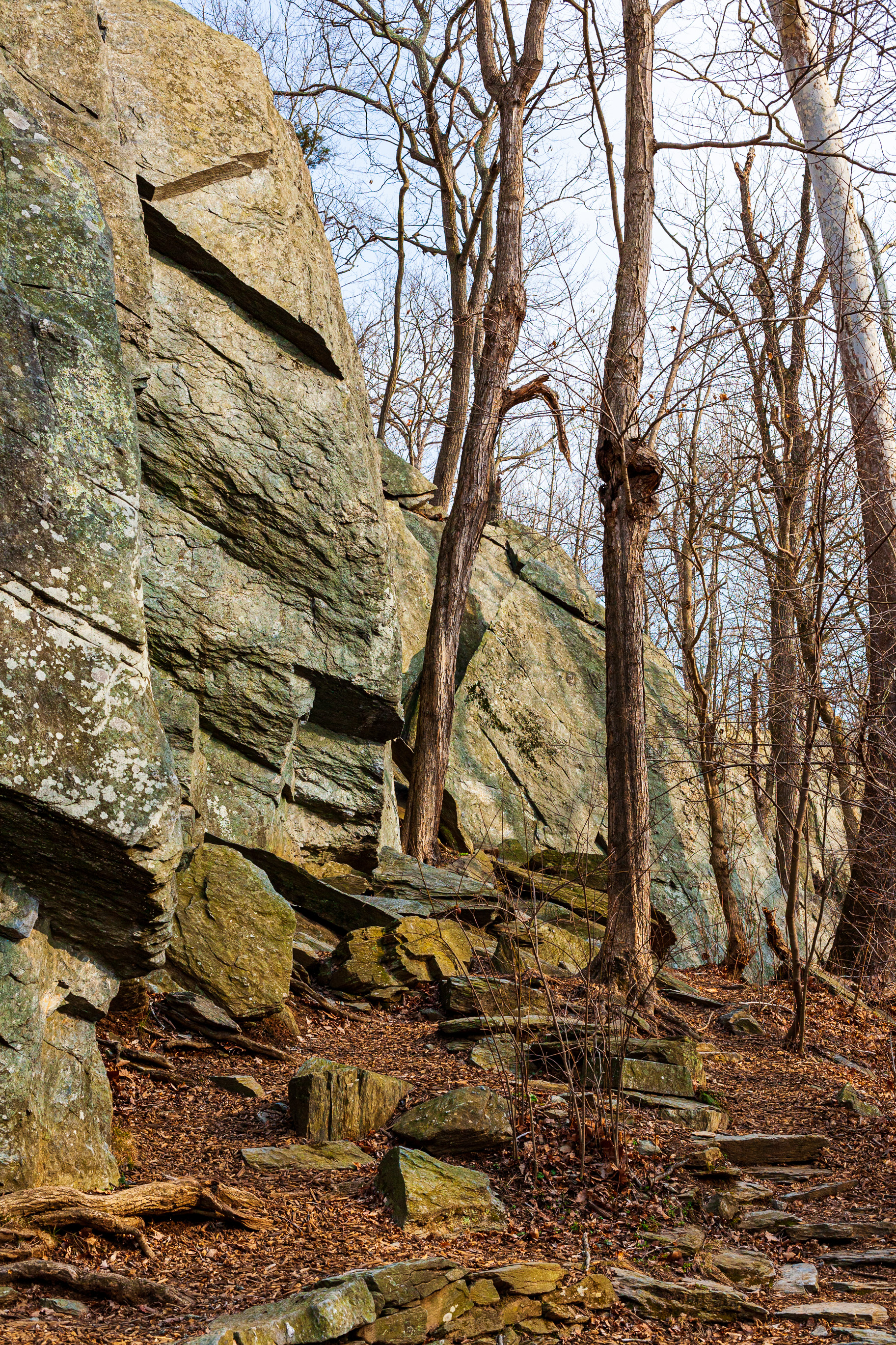
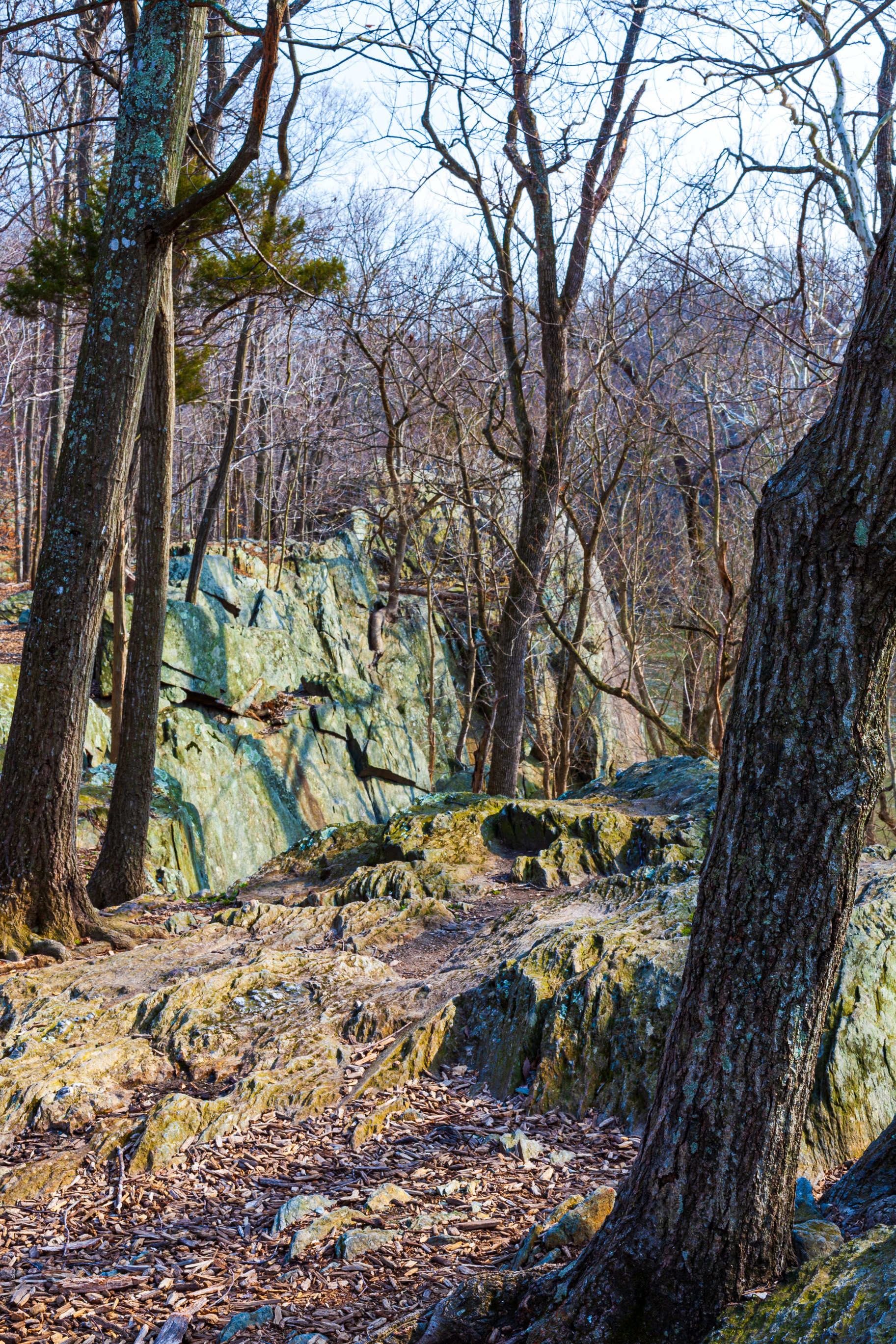
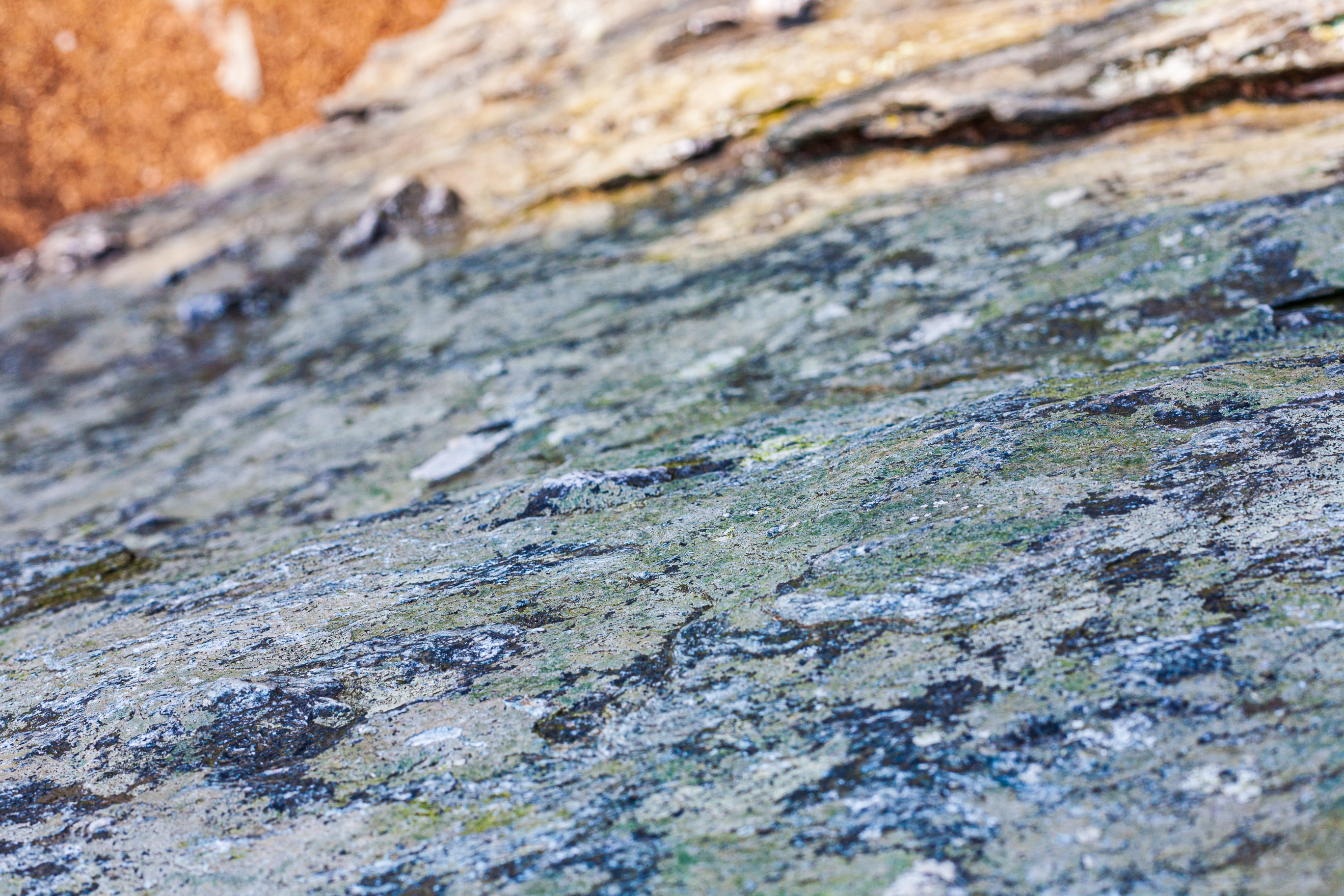
Ligia and I visited the remains of the mill in the spring of 2008. Here is a gallery of photographs I took at that time. Enjoy!

At the remains of the Seneca Stone-Cutting Mill near Riley’s Lock, Maryland 
At the remains of the Seneca Stone-Cutting Mill near Riley’s Lock, Maryland 
At the remains of the Seneca Stone-Cutting Mill near Riley’s Lock, Maryland 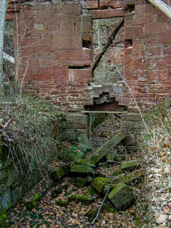
At the remains of the Seneca Stone-Cutting Mill near Riley’s Lock, Maryland 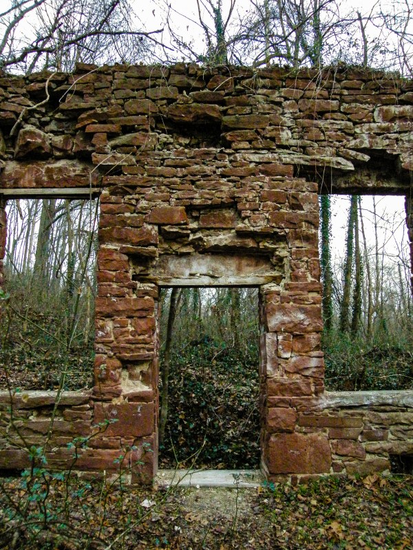
At the remains of the Seneca Stone-Cutting Mill near Riley’s Lock, Maryland 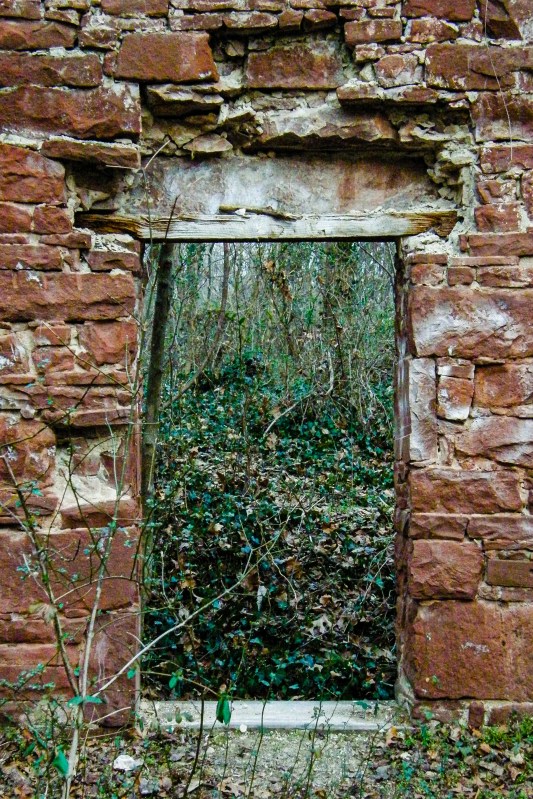
At the remains of the Seneca Stone-Cutting Mill near Riley’s Lock, Maryland 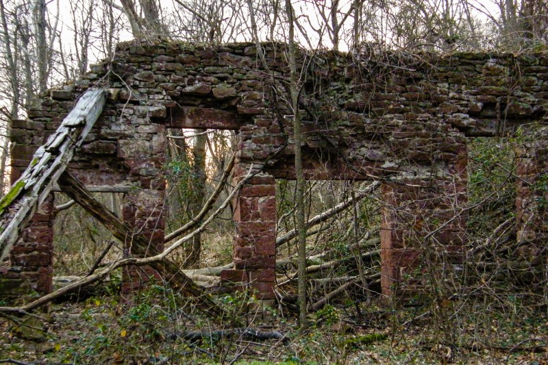
At the remains of the Seneca Stone-Cutting Mill near Riley’s Lock, Maryland 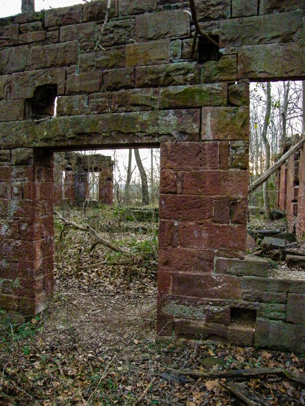
At the remains of the Seneca Stone-Cutting Mill near Riley’s Lock, Maryland 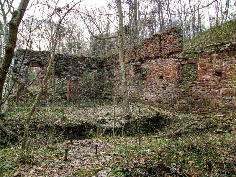
At the remains of the Seneca Stone-Cutting Mill near Riley’s Lock, Maryland 
At the remains of the Seneca Stone-Cutting Mill near Riley’s Lock, Maryland 
At the remains of the Seneca Stone-Cutting Mill near Riley’s Lock, Maryland 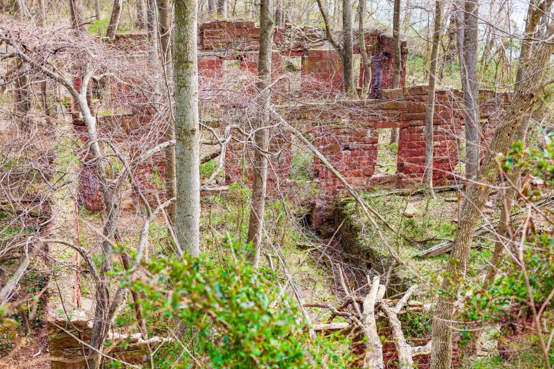
At the remains of the Seneca Stone-Cutting Mill near Riley’s Lock, Maryland 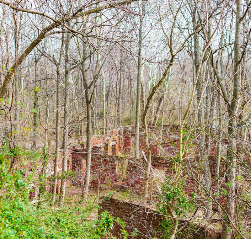
At the remains of the Seneca Stone-Cutting Mill near Riley’s Lock, Maryland 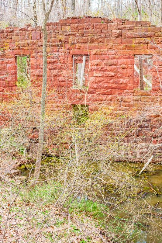
At the remains of the Seneca Stone-Cutting Mill near Riley’s Lock, Maryland 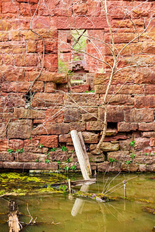
At the remains of the Seneca Stone-Cutting Mill near Riley’s Lock, Maryland 
At the remains of the Seneca Stone-Cutting Mill near Riley’s Lock, Maryland 
At the remains of the Seneca Stone-Cutting Mill near Riley’s Lock, Maryland 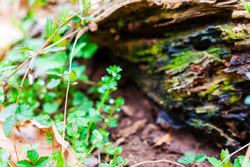
At the remains of the Seneca Stone-Cutting Mill near Riley’s Lock, Maryland 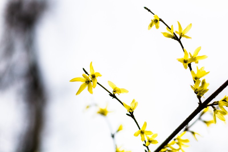
At the remains of the Seneca Stone-Cutting Mill near Riley’s Lock, Maryland 
At the remains of the Seneca Stone-Cutting Mill near Riley’s Lock, Maryland 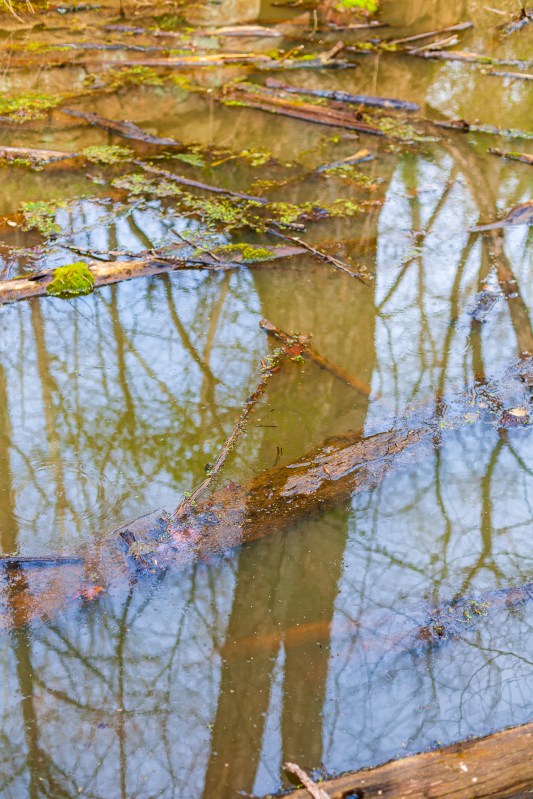
At the remains of the Seneca Stone-Cutting Mill near Riley’s Lock, Maryland 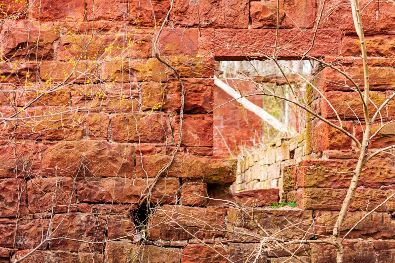
At the remains of the Seneca Stone-Cutting Mill near Riley’s Lock, Maryland 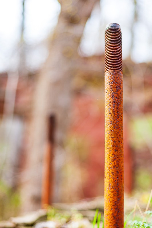
At the remains of the Seneca Stone-Cutting Mill near Riley’s Lock, Maryland 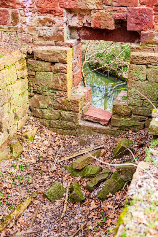
At the remains of the Seneca Stone-Cutting Mill near Riley’s Lock, Maryland 
At the remains of the Seneca Stone-Cutting Mill near Riley’s Lock, Maryland 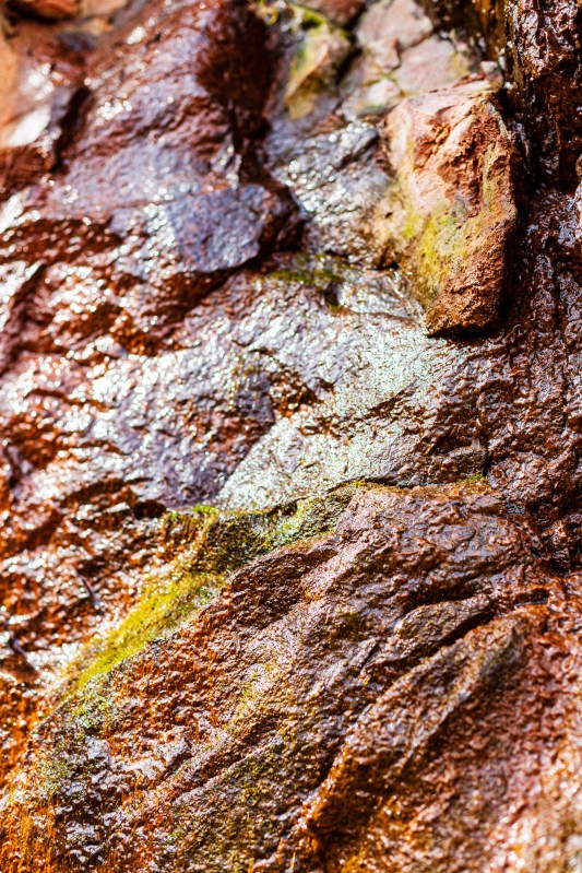
At the remains of the Seneca Stone-Cutting Mill near Riley’s Lock, Maryland 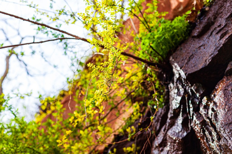
At the remains of the Seneca Stone-Cutting Mill near Riley’s Lock, Maryland 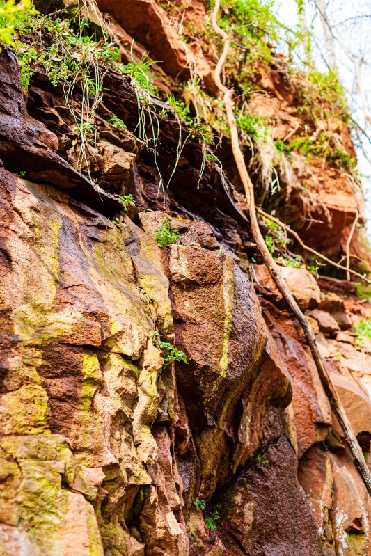
At the remains of the Seneca Stone-Cutting Mill near Riley’s Lock, Maryland 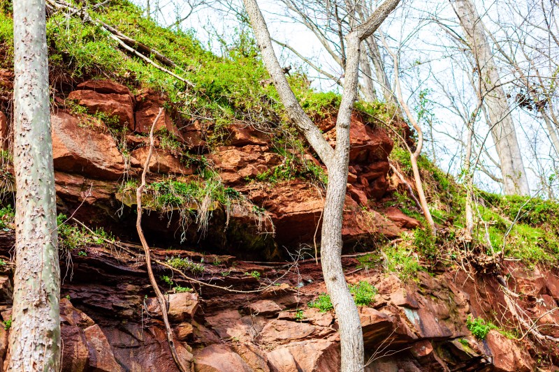
At the remains of the Seneca Stone-Cutting Mill near Riley’s Lock, Maryland 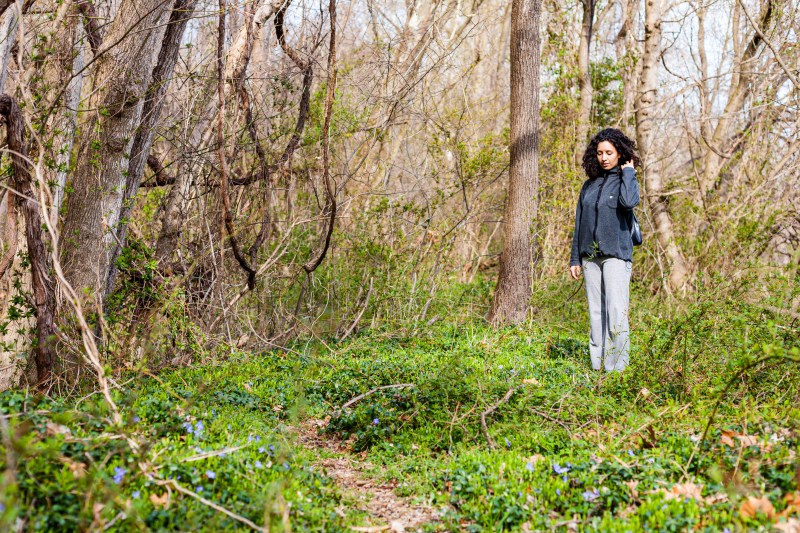
At the remains of the Seneca Stone-Cutting Mill near Riley’s Lock, Maryland 
At the remains of the Seneca Stone-Cutting Mill near Riley’s Lock, Maryland 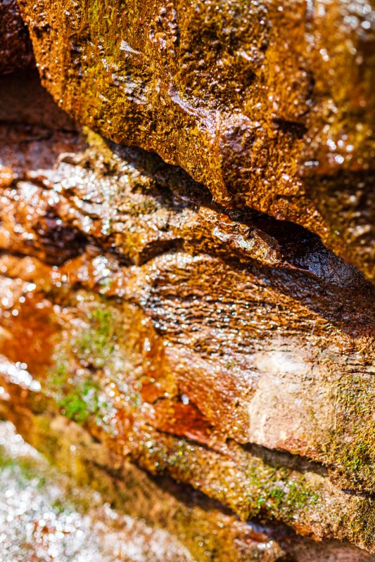
At the remains of the Seneca Stone-Cutting Mill near Riley’s Lock, Maryland 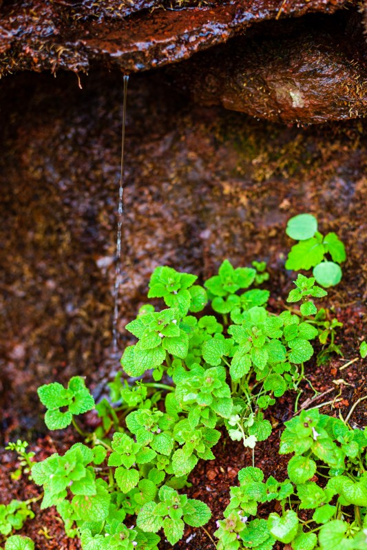
At the remains of the Seneca Stone-Cutting Mill near Riley’s Lock, Maryland 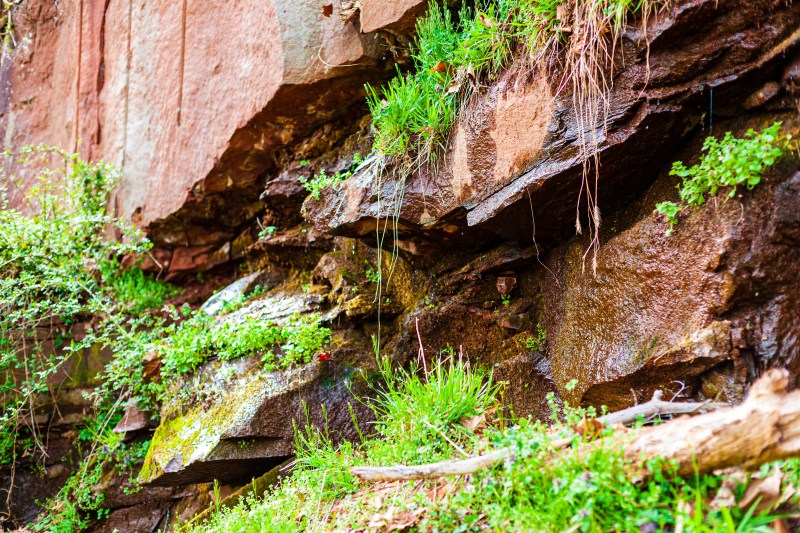
At the remains of the Seneca Stone-Cutting Mill near Riley’s Lock, Maryland 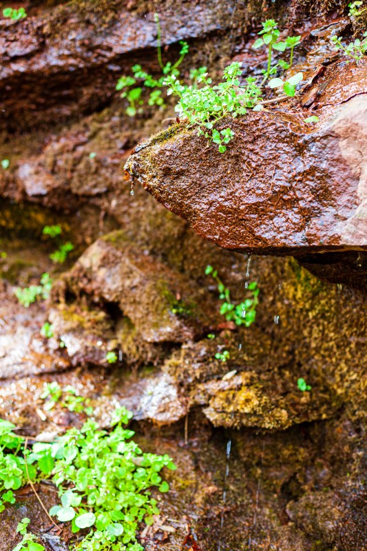
At the remains of the Seneca Stone-Cutting Mill near Riley’s Lock, Maryland 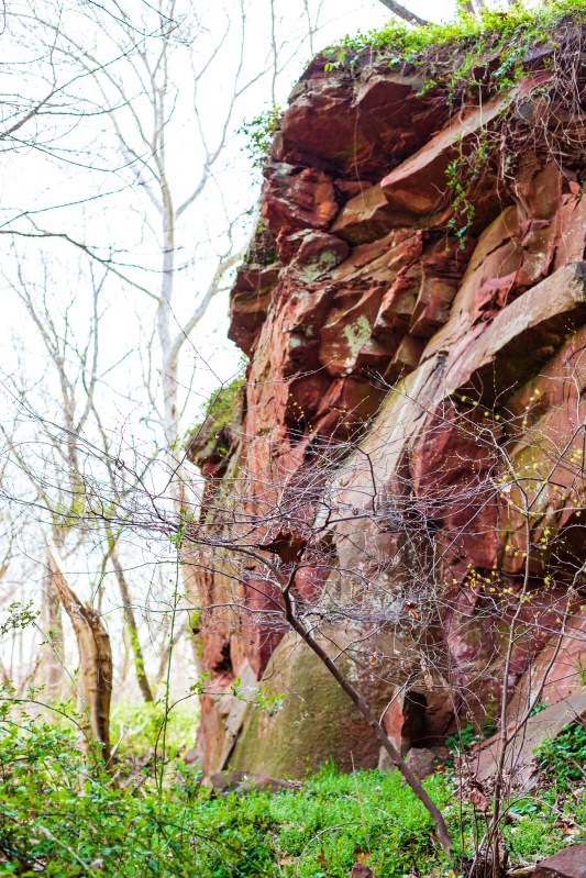
At the remains of the Seneca Stone-Cutting Mill near Riley’s Lock, Maryland 
At the remains of the Seneca Stone-Cutting Mill near Riley’s Lock, Maryland 
At the remains of the Seneca Stone-Cutting Mill near Riley’s Lock, Maryland 
At the remains of the Seneca Stone-Cutting Mill near Riley’s Lock, Maryland 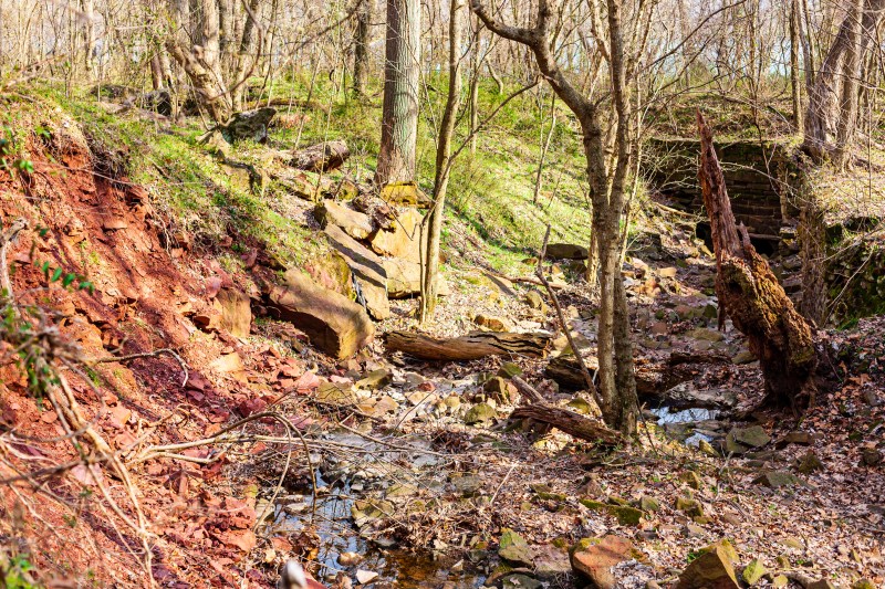
At the remains of the Seneca Stone-Cutting Mill near Riley’s Lock, Maryland 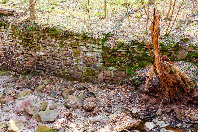
At the remains of the Seneca Stone-Cutting Mill near Riley’s Lock, Maryland 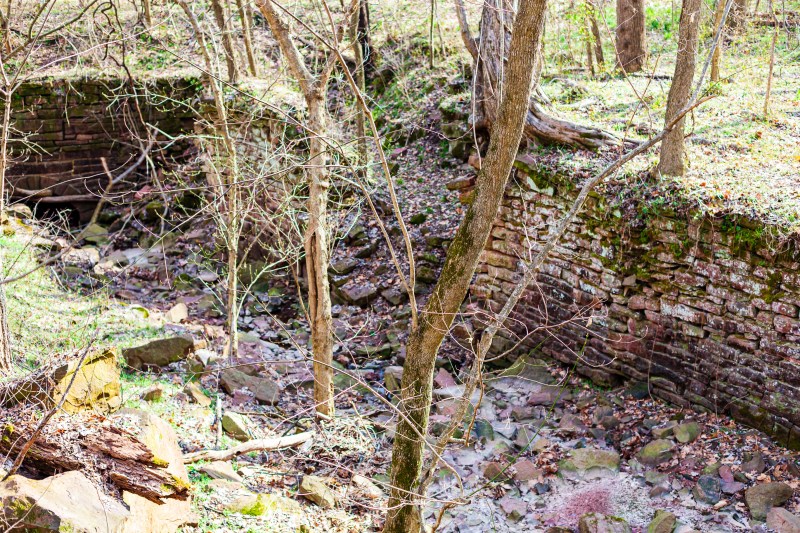
At the remains of the Seneca Stone-Cutting Mill near Riley’s Lock, Maryland 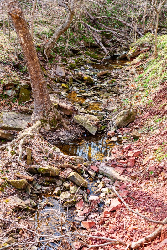
At the remains of the Seneca Stone-Cutting Mill near Riley’s Lock, Maryland 
At the remains of the Seneca Stone-Cutting Mill near Riley’s Lock, Maryland 
At the remains of the Seneca Stone-Cutting Mill near Riley’s Lock, Maryland 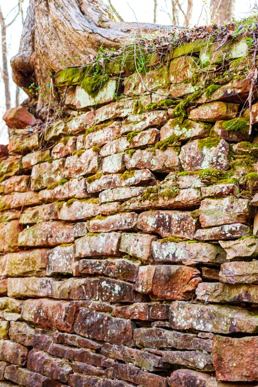
At the remains of the Seneca Stone-Cutting Mill near Riley’s Lock, Maryland 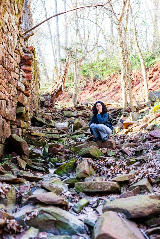
At the remains of the Seneca Stone-Cutting Mill near Riley’s Lock, Maryland 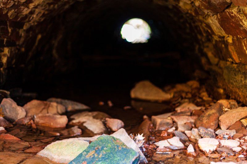
At the remains of the Seneca Stone-Cutting Mill near Riley’s Lock, Maryland 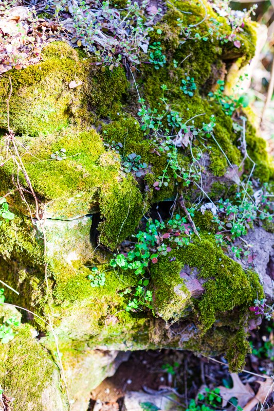
At the remains of the Seneca Stone-Cutting Mill near Riley’s Lock, Maryland 
At the remains of the Seneca Stone-Cutting Mill near Riley’s Lock, Maryland 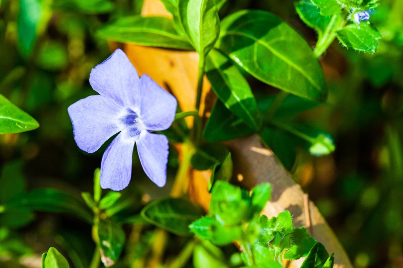
At the remains of the Seneca Stone-Cutting Mill near Riley’s Lock, Maryland 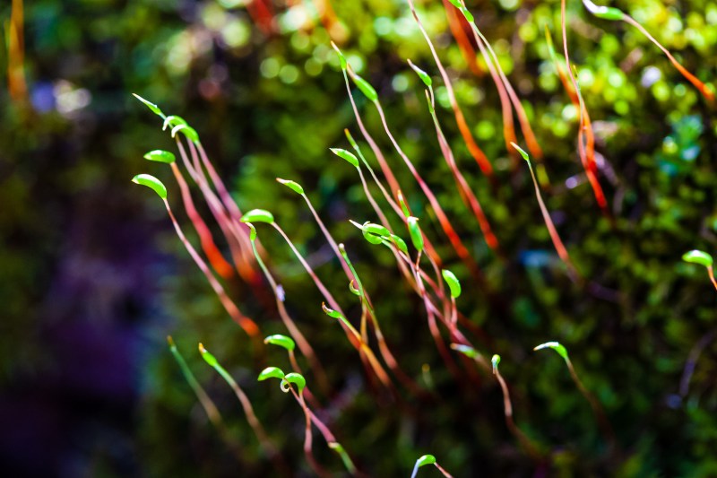
At the remains of the Seneca Stone-Cutting Mill near Riley’s Lock, Maryland 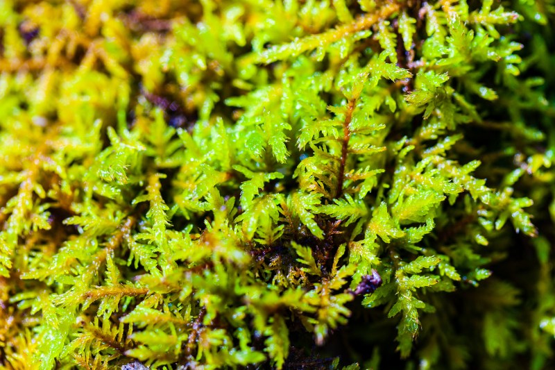
At the remains of the Seneca Stone-Cutting Mill near Riley’s Lock, Maryland 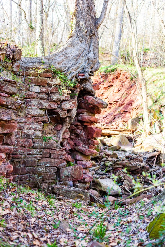
At the remains of the Seneca Stone-Cutting Mill near Riley’s Lock, Maryland 
At the remains of the Seneca Stone-Cutting Mill near Riley’s Lock, Maryland 
At the remains of the Seneca Stone-Cutting Mill near Riley’s Lock, Maryland 
At the remains of the Seneca Stone-Cutting Mill near Riley’s Lock, Maryland 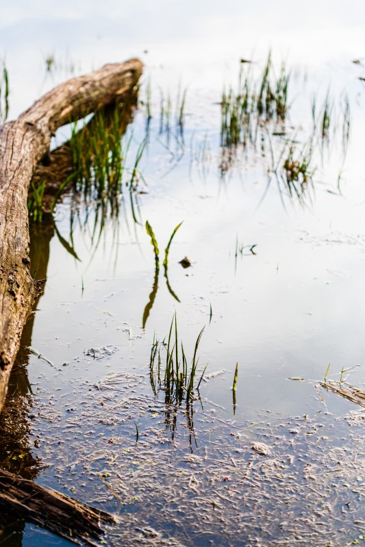
At the remains of the Seneca Stone-Cutting Mill near Riley’s Lock, Maryland 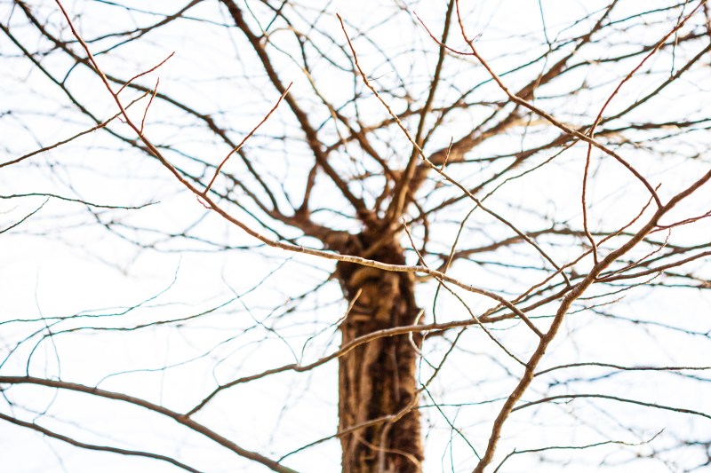
At the remains of the Seneca Stone-Cutting Mill near Riley’s Lock, Maryland 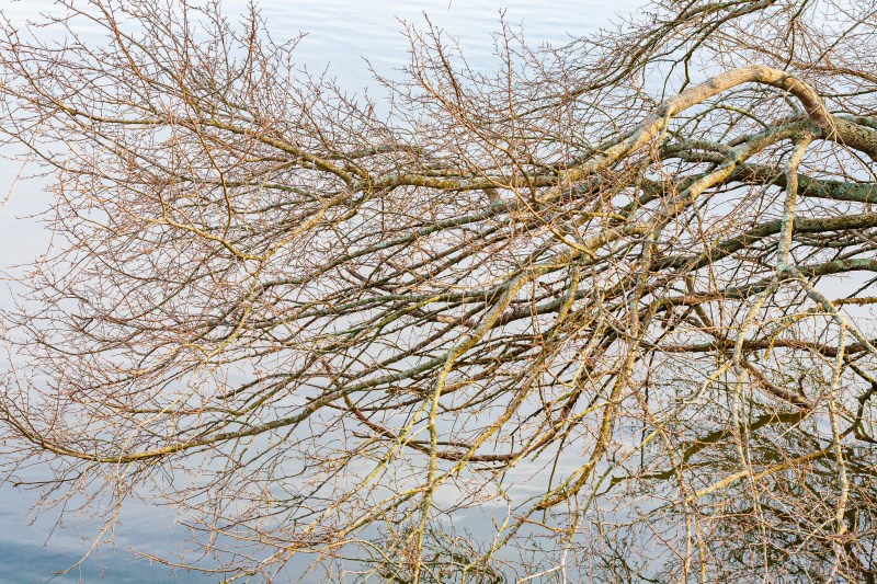
At the remains of the Seneca Stone-Cutting Mill near Riley’s Lock, Maryland 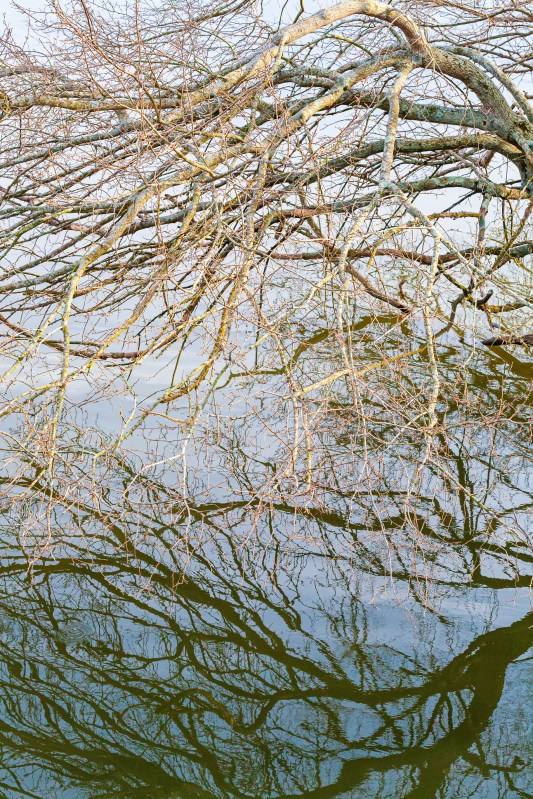
At the remains of the Seneca Stone-Cutting Mill near Riley’s Lock, Maryland 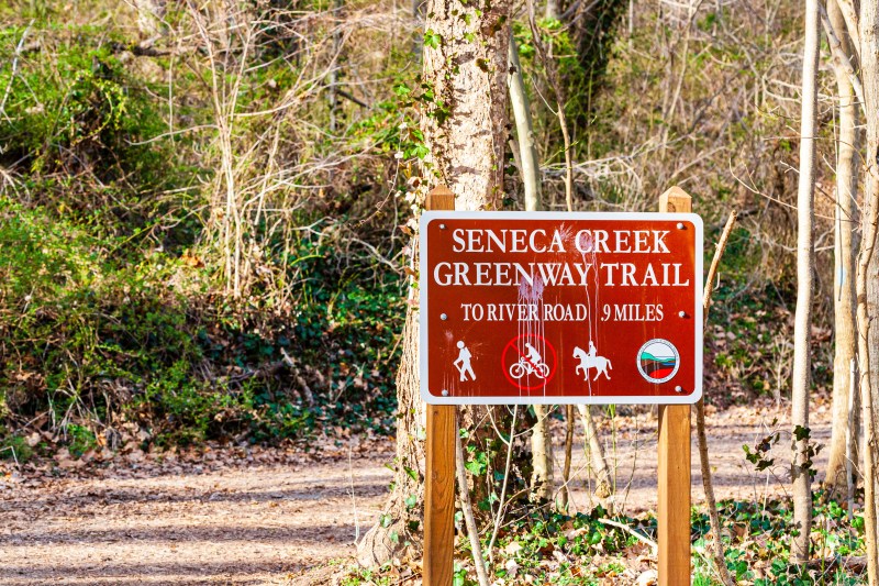
At the remains of the Seneca Stone-Cutting Mill near Riley’s Lock, Maryland 
At the remains of the Seneca Stone-Cutting Mill near Riley’s Lock, Maryland