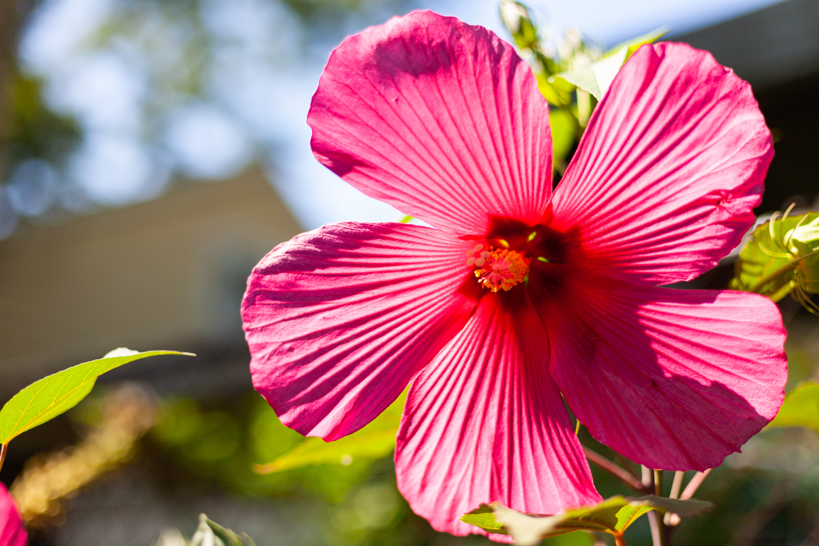
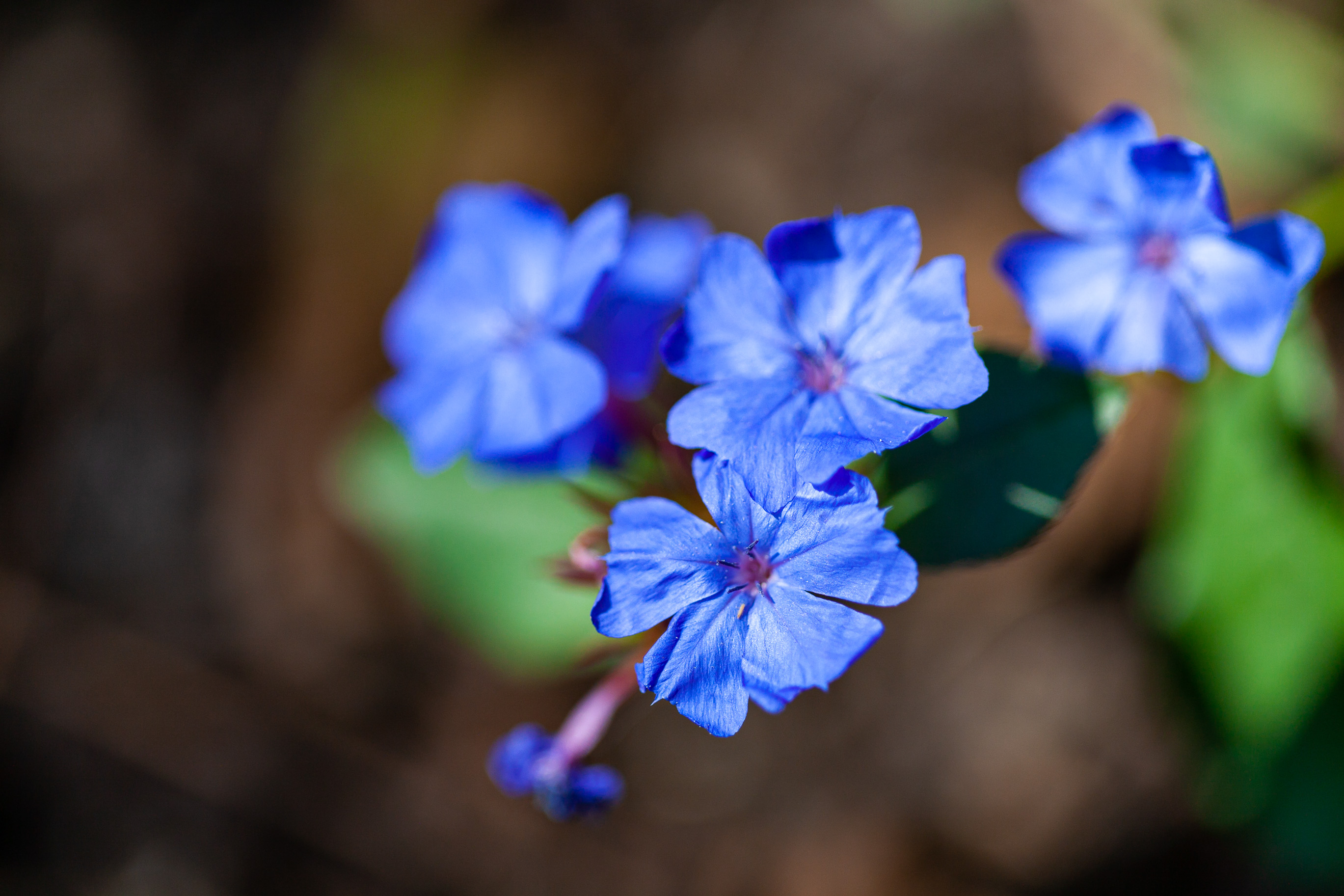
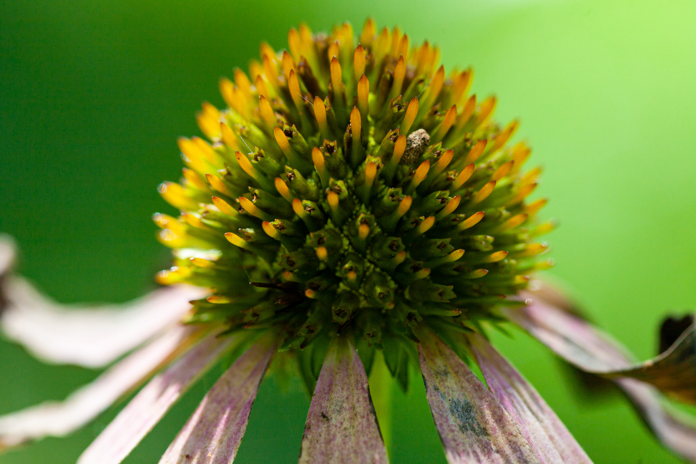
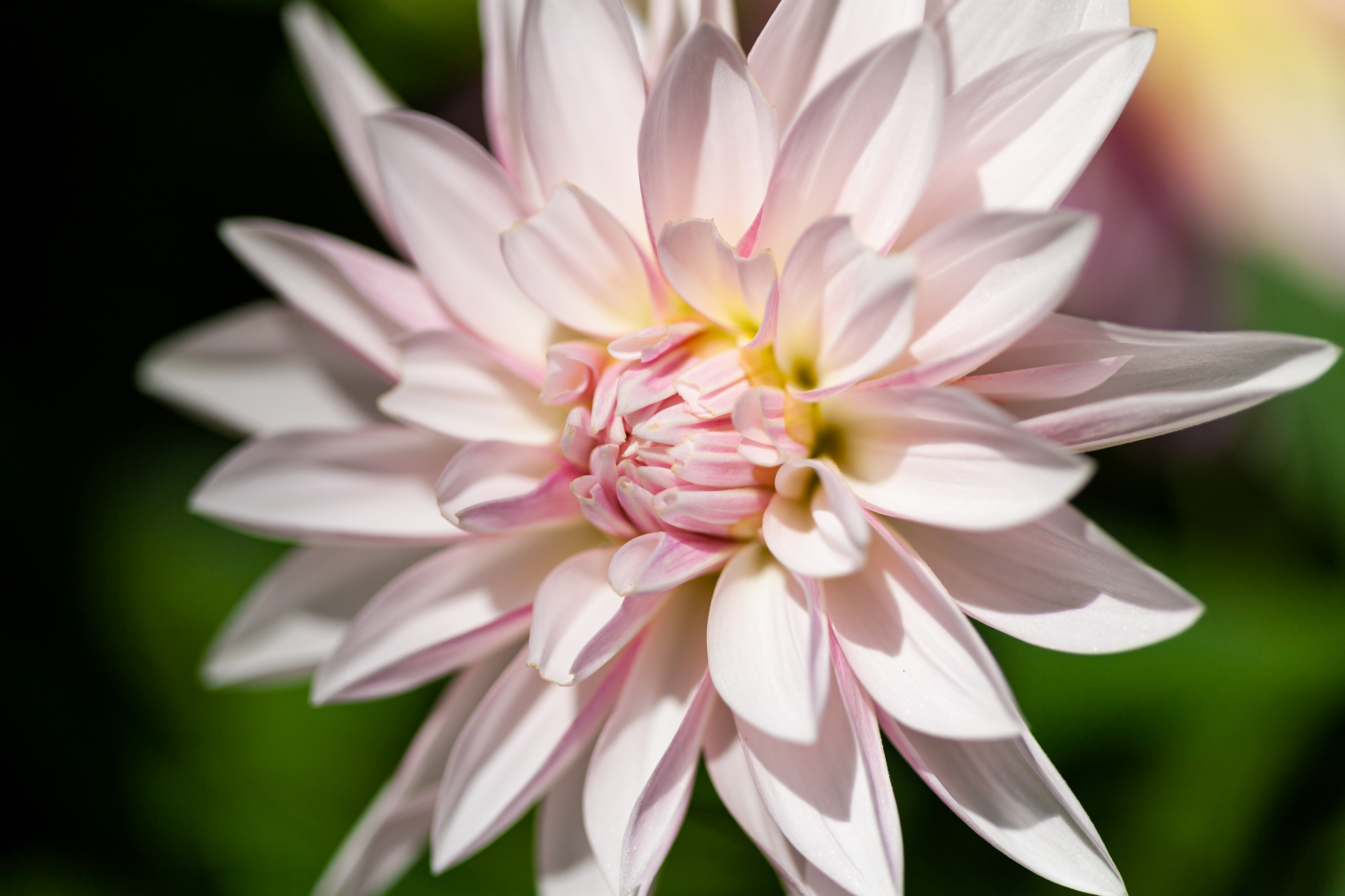
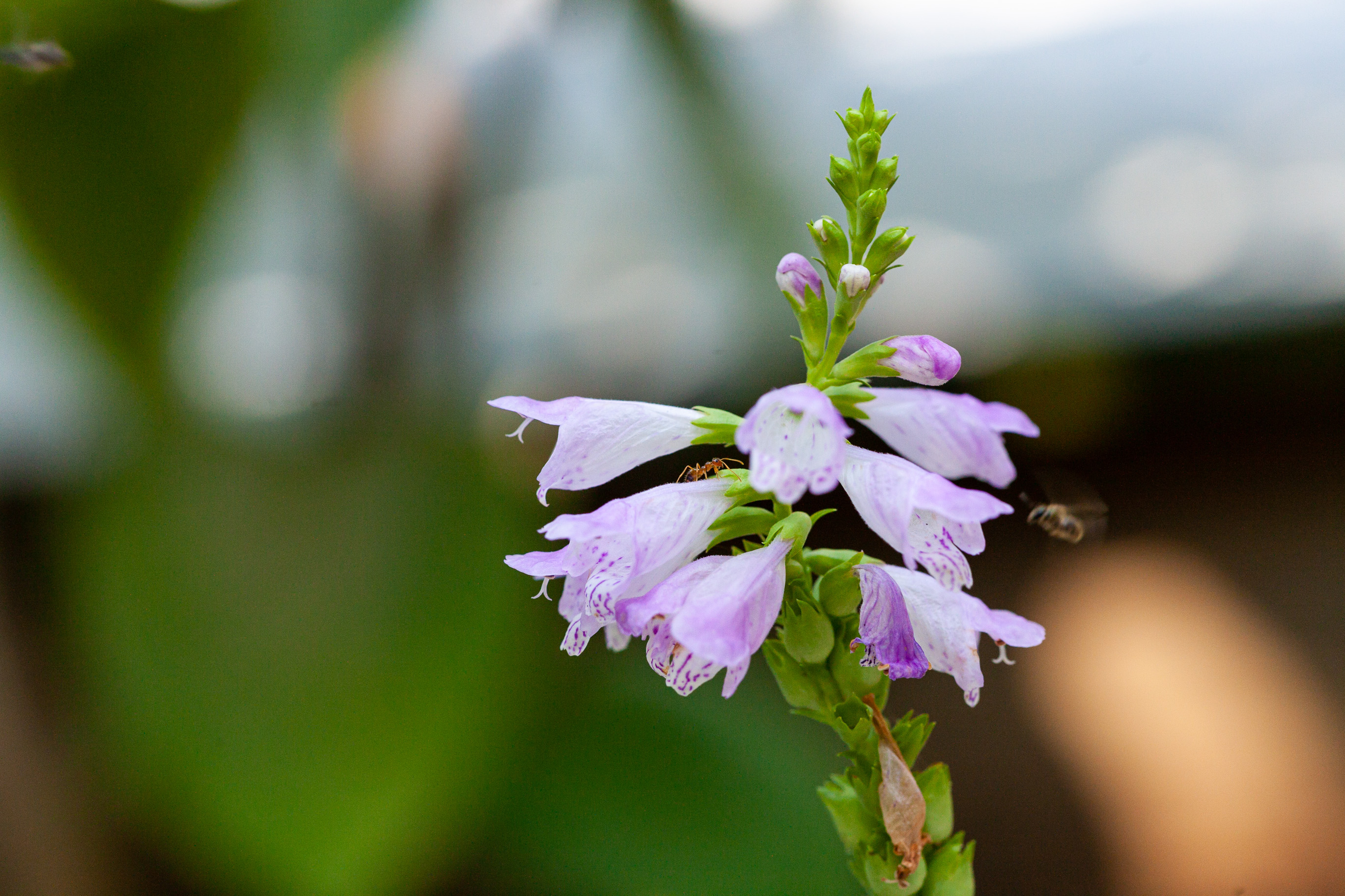
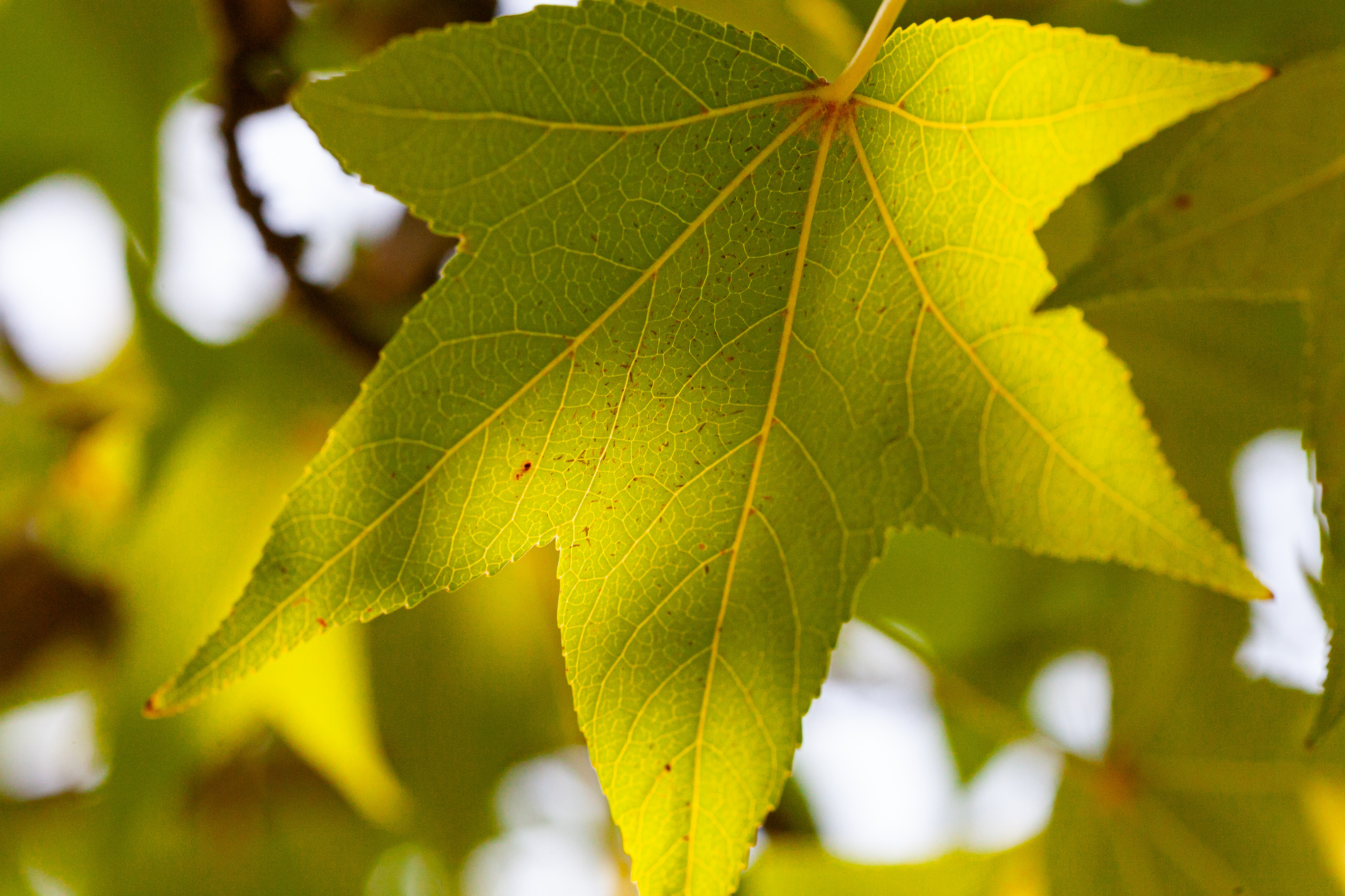
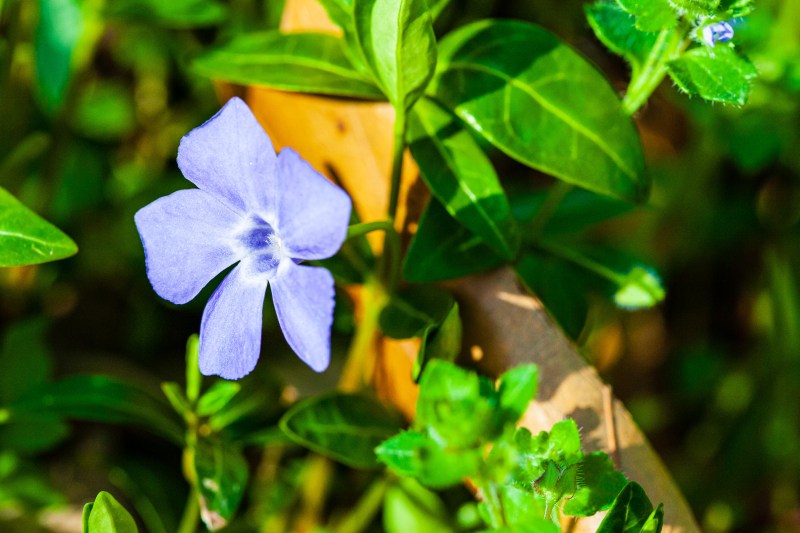
Some years ago we were at a party given by friends of ours. They lived in a quiet neighborhood in McLean, Virginia. Since it was a garden party, I thought it only right that I take photos of the garden. Here they are. I still remember their hibiscus blossoms vividly and I think you will too. I have yet to see their equal: large, umbrous petals with lovely ridges.
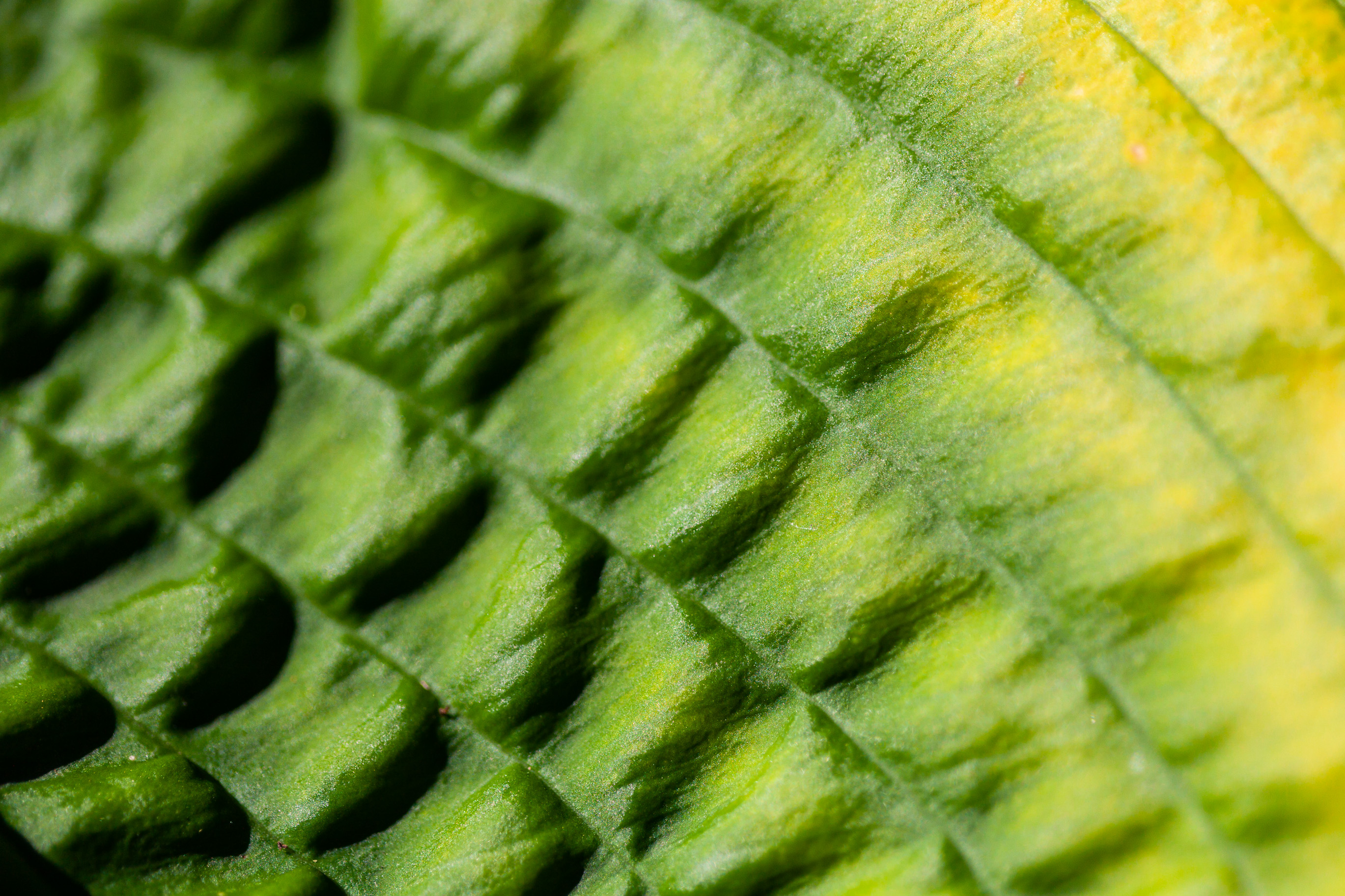
A detail from a hibiscus petal. This was an unusually large hibiscus, larger than any other I’d seen.
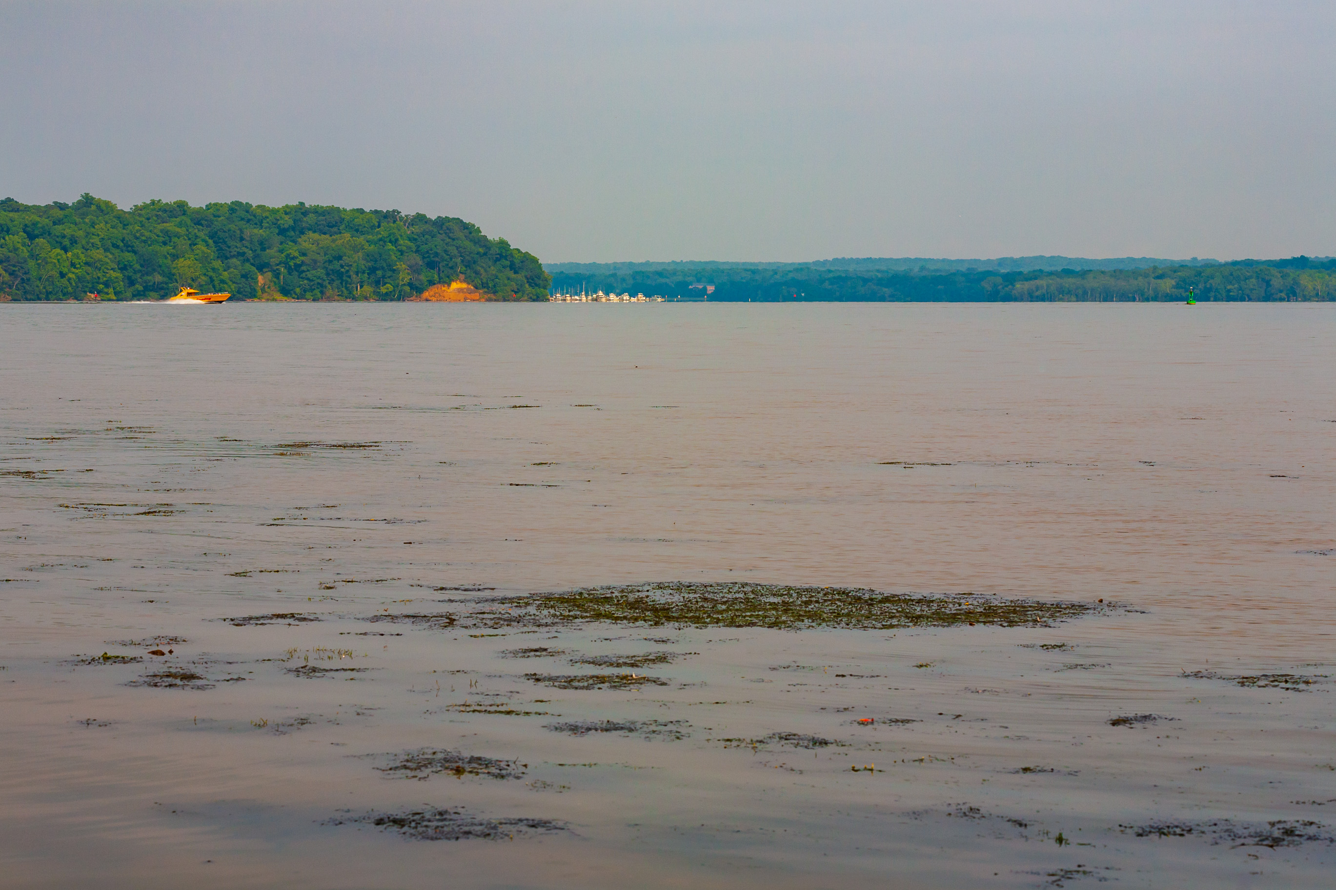
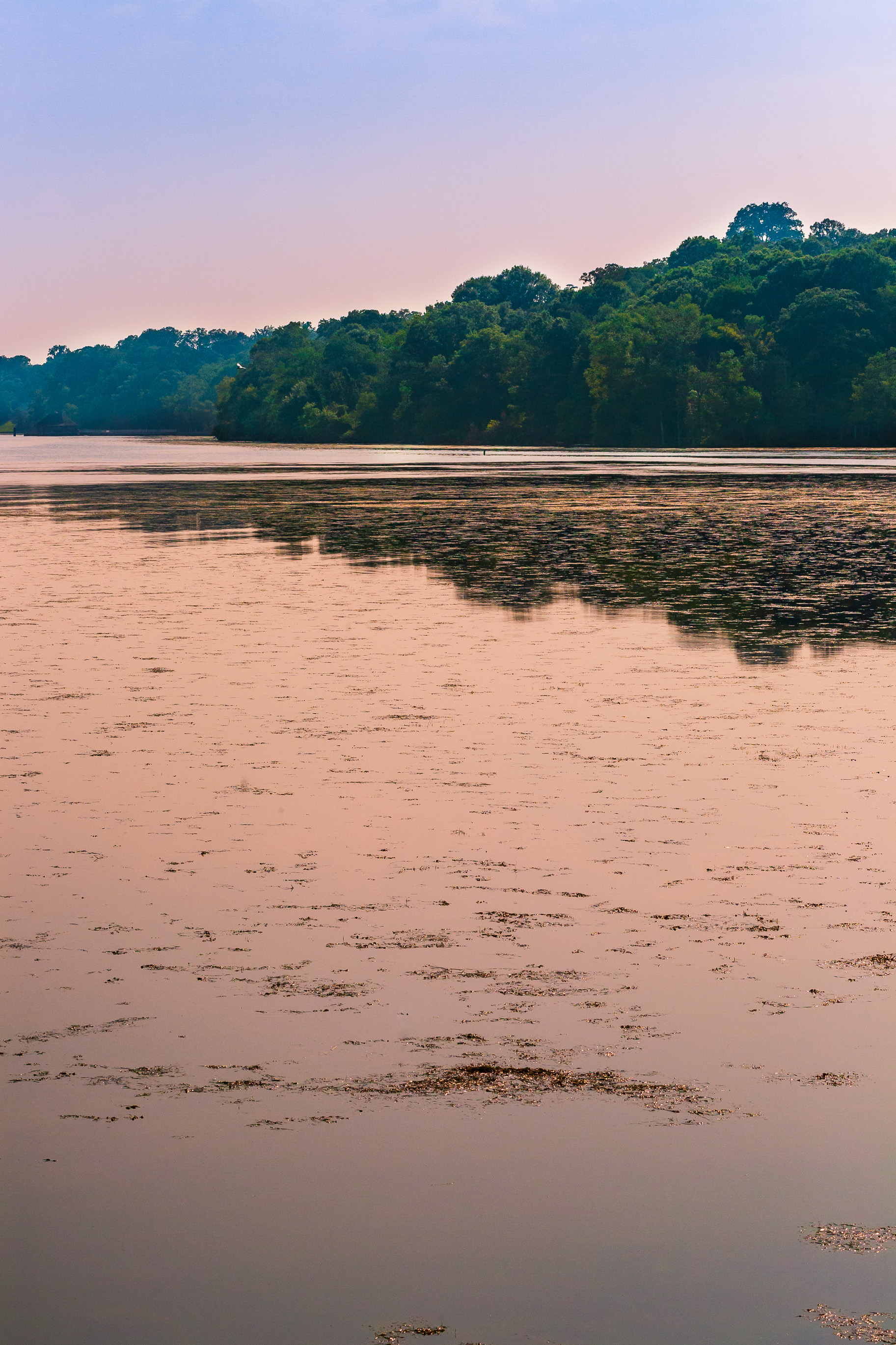
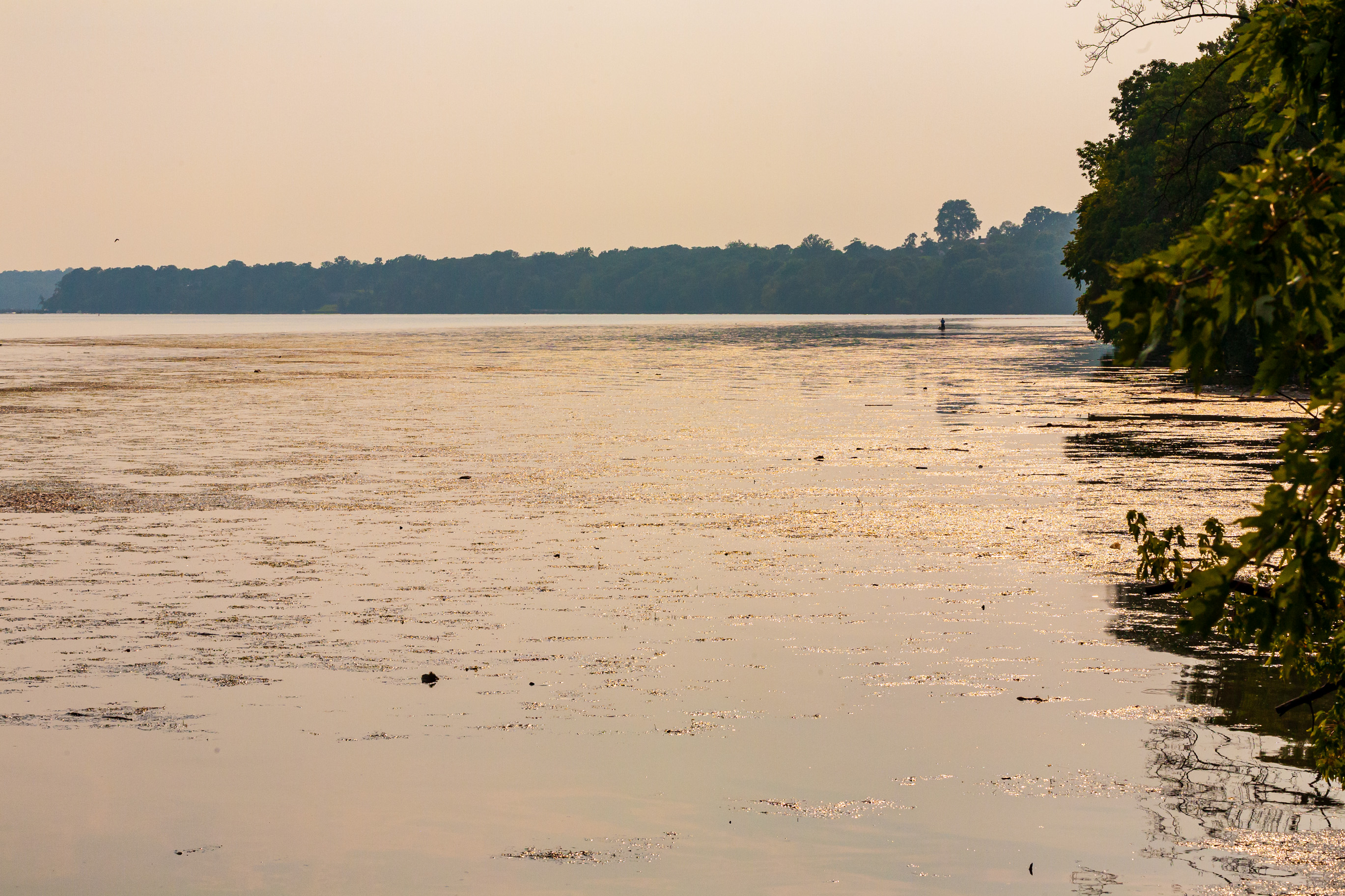
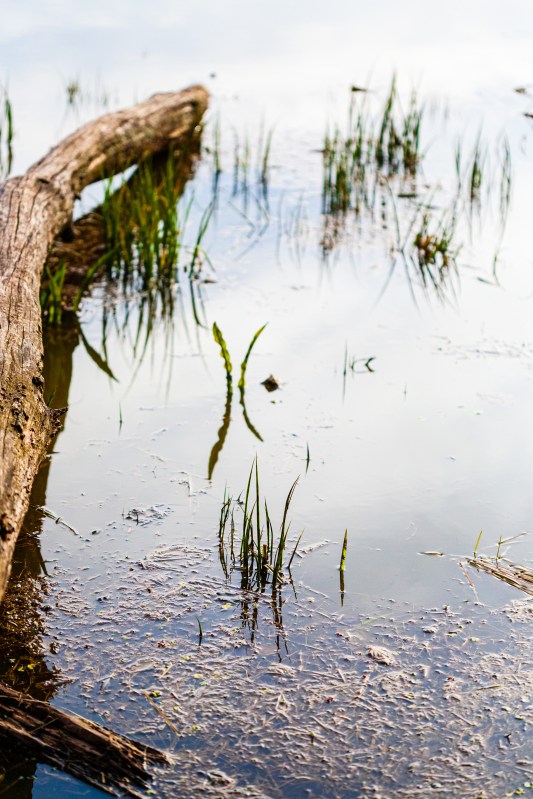
I hope I won’t spoil this little spot by telling you about it. On one of our visits to Mount Vernon, we decided to meander on down the road, following the Potomac, to see where we’d get.
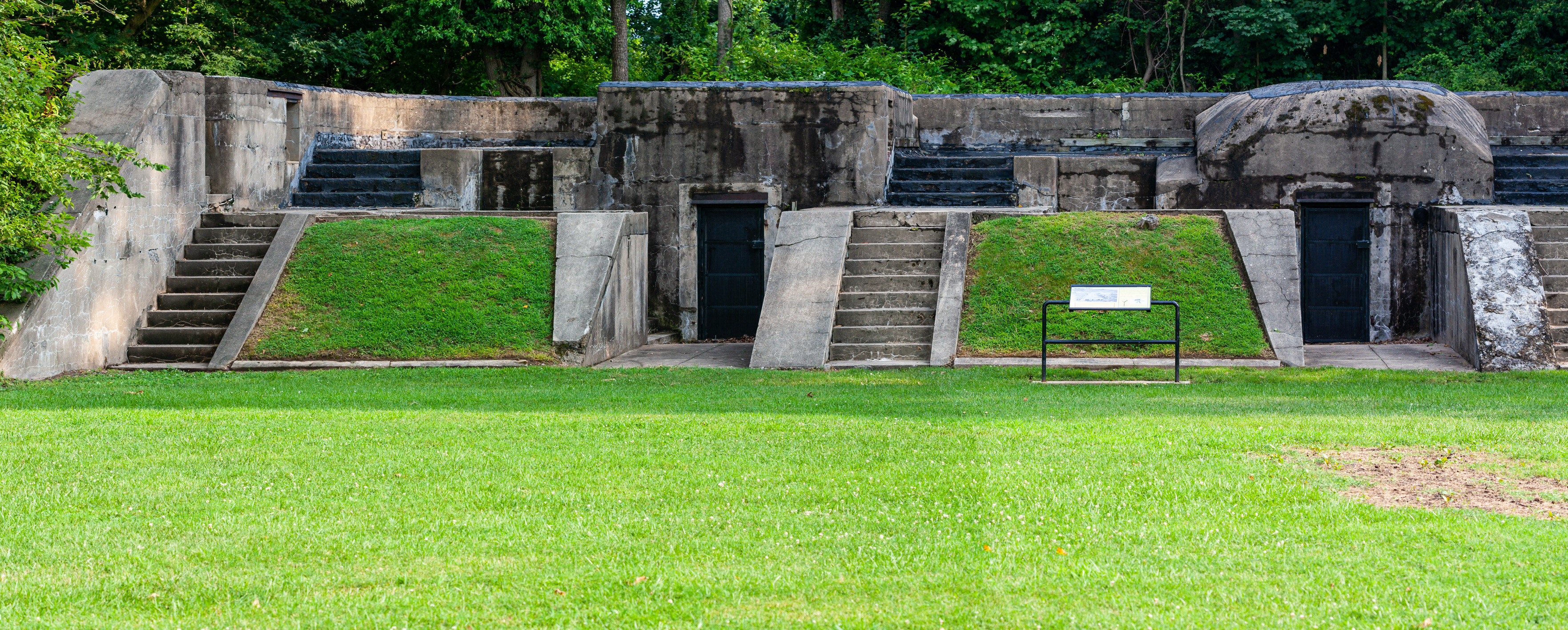
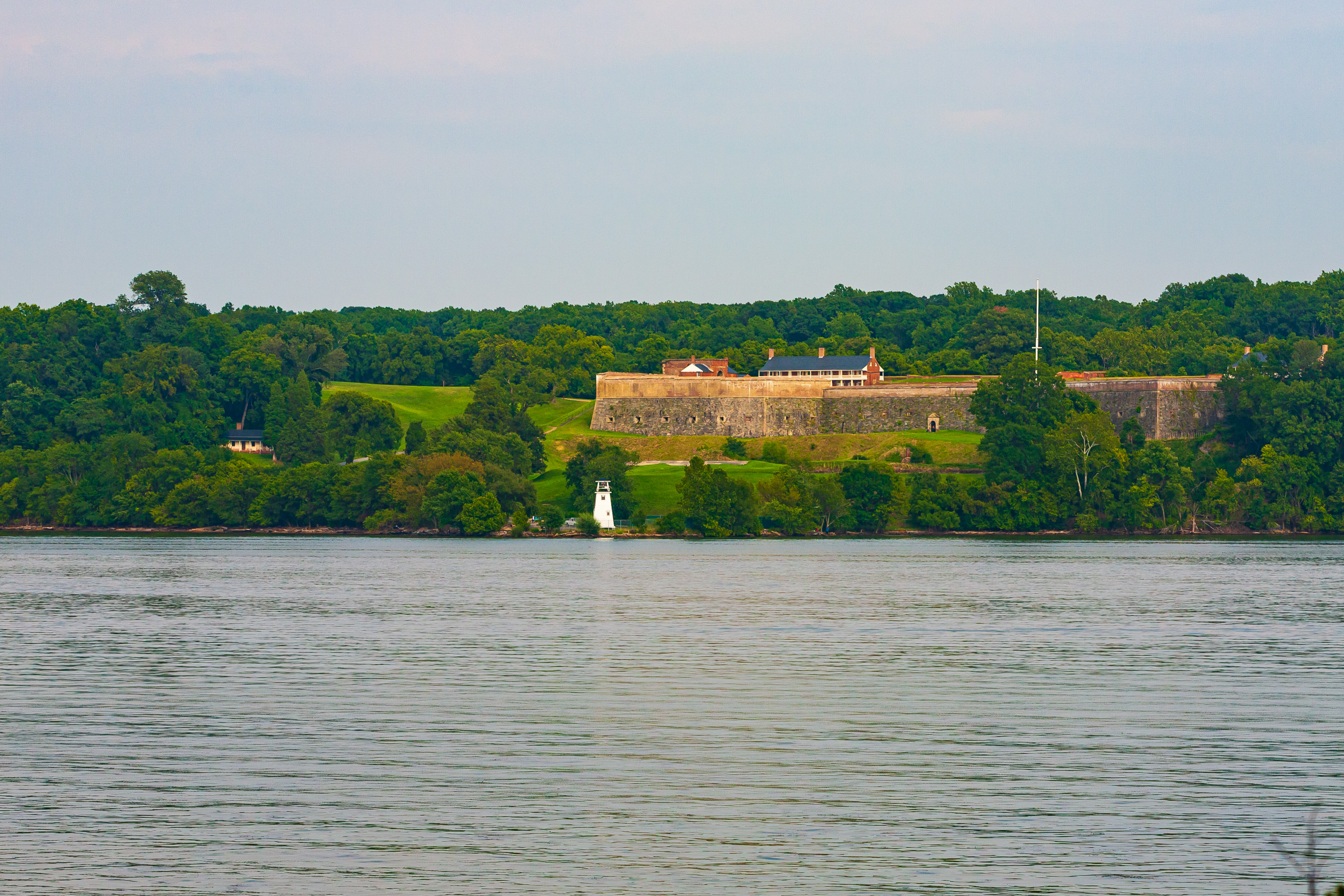
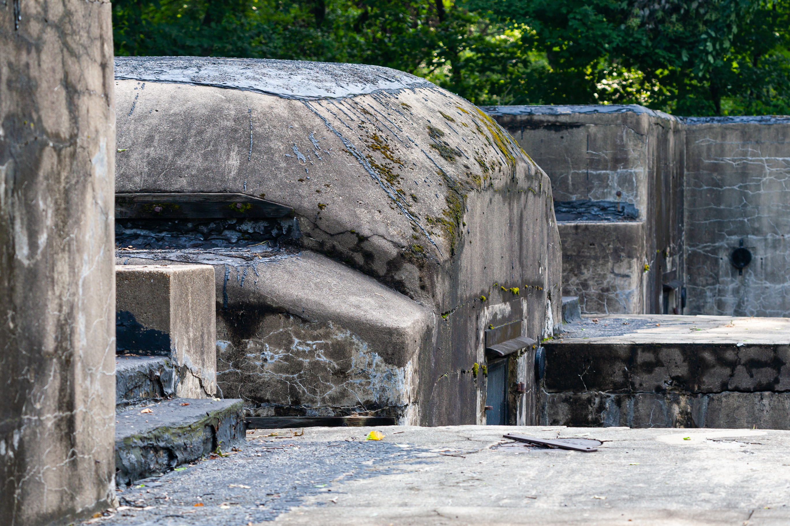
We stopped at a place called Fort Hunt, which is across the river from Fort Washington (you can see a map of them here). I guess at some point these two forts were used to control water traffic toward the capital, but they weren’t in use anymore. They are now parks and they are open to the public.
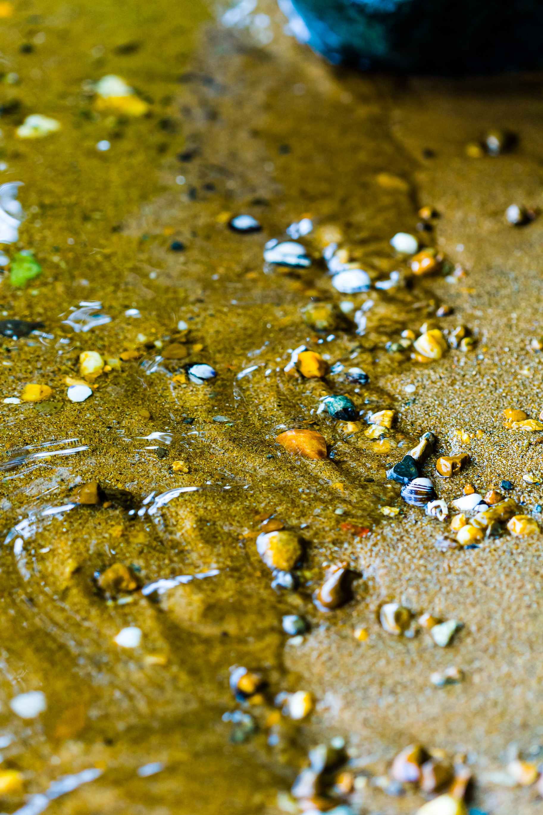
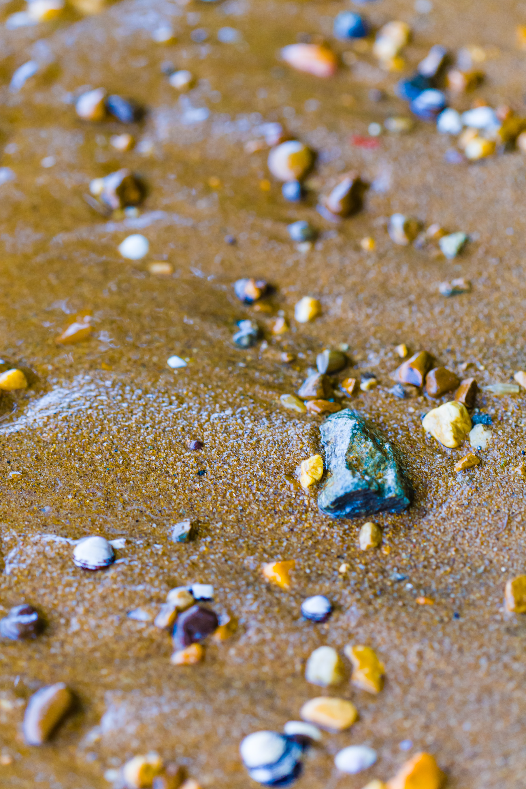
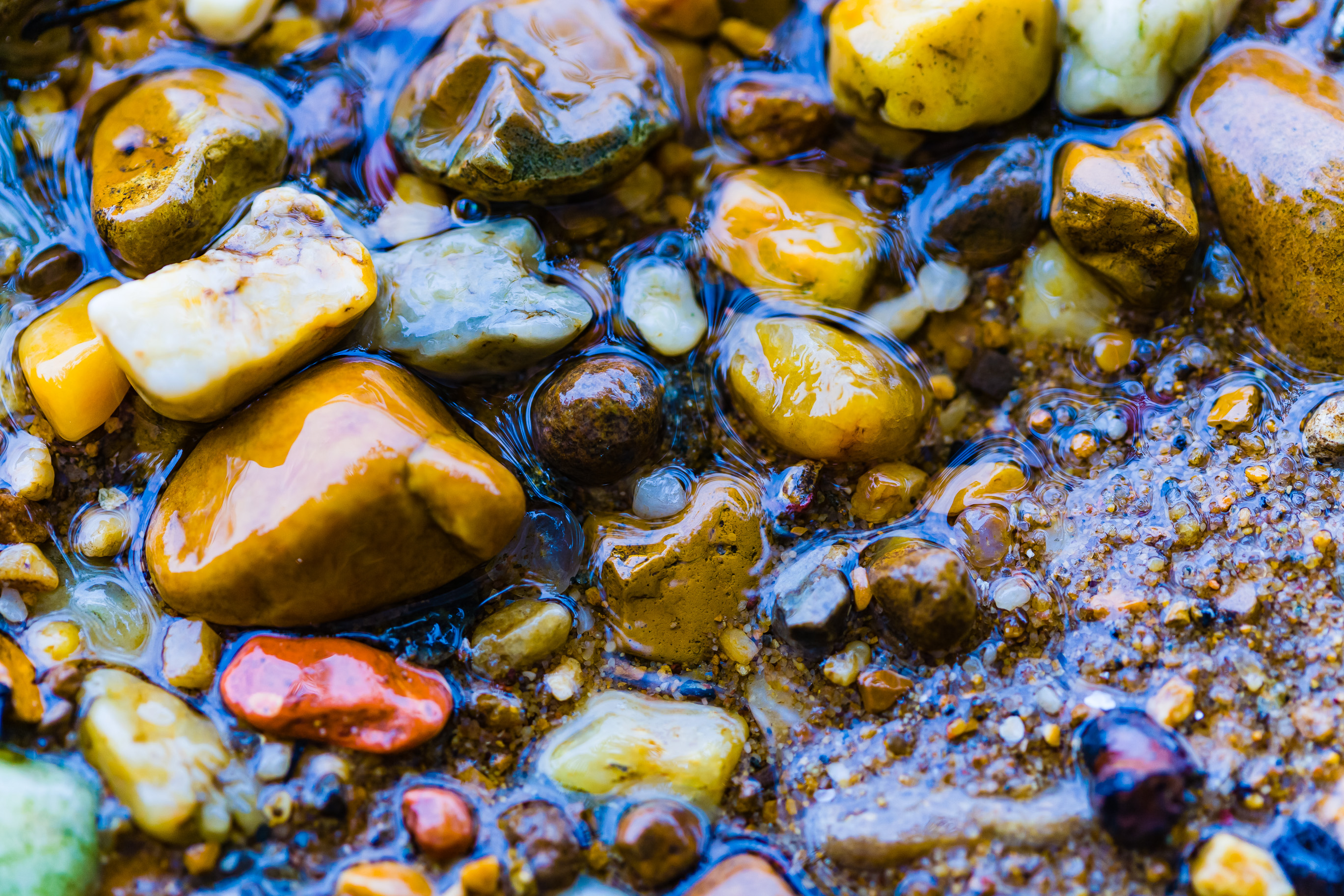
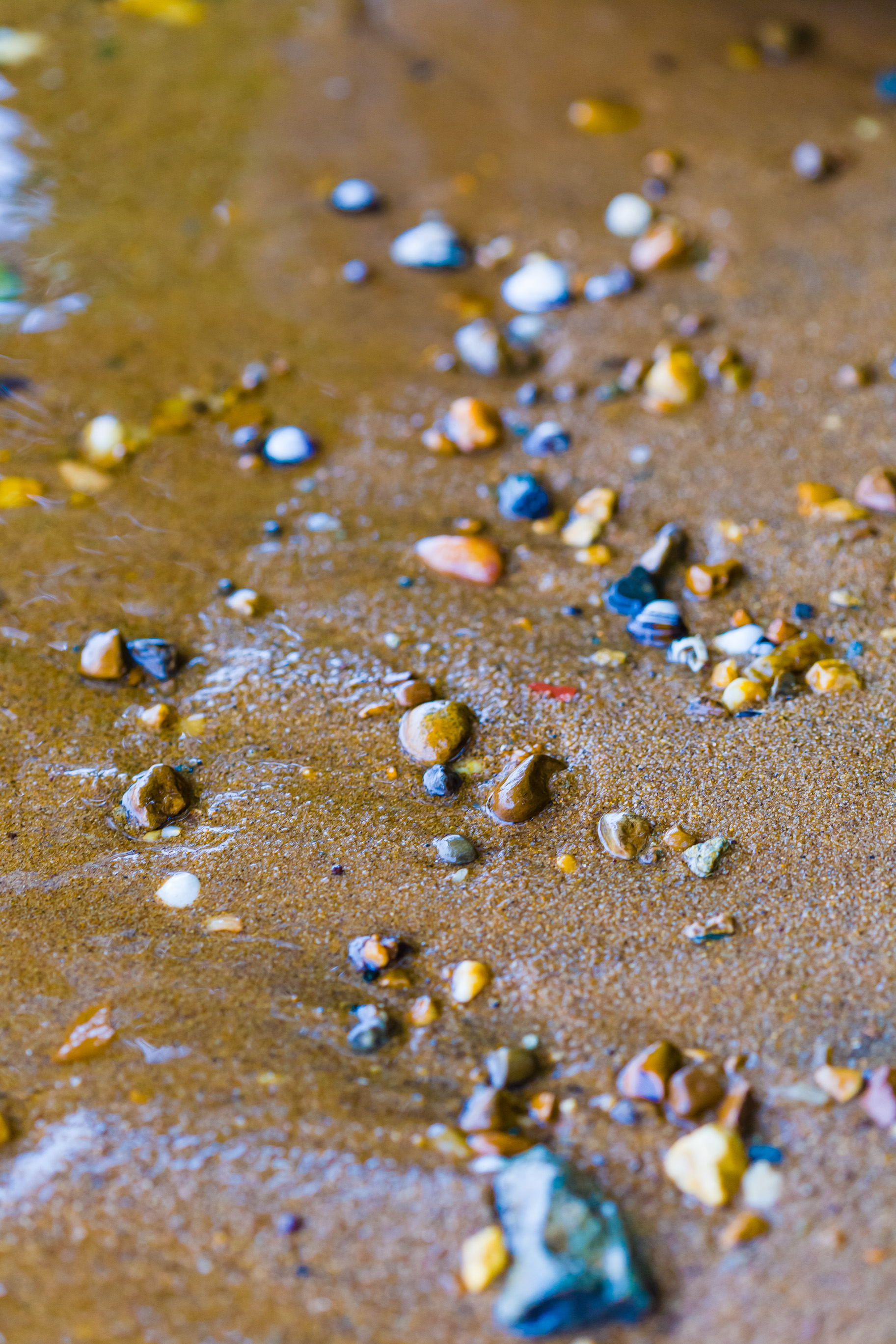
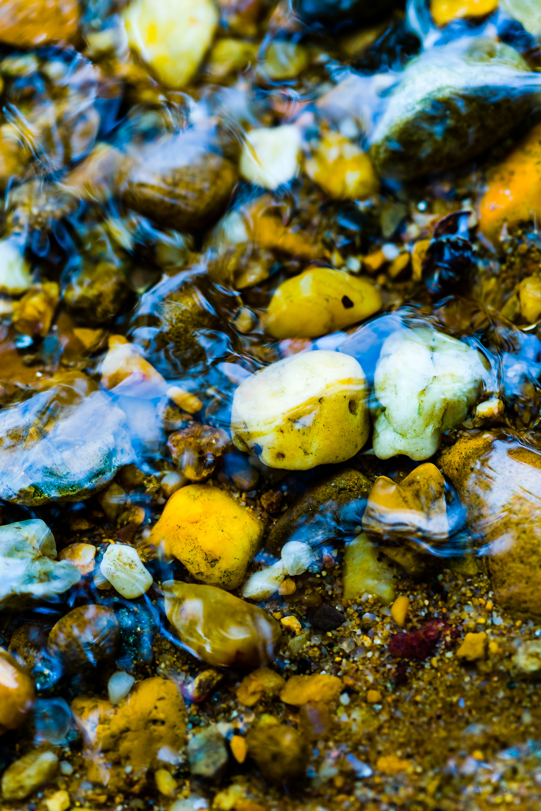
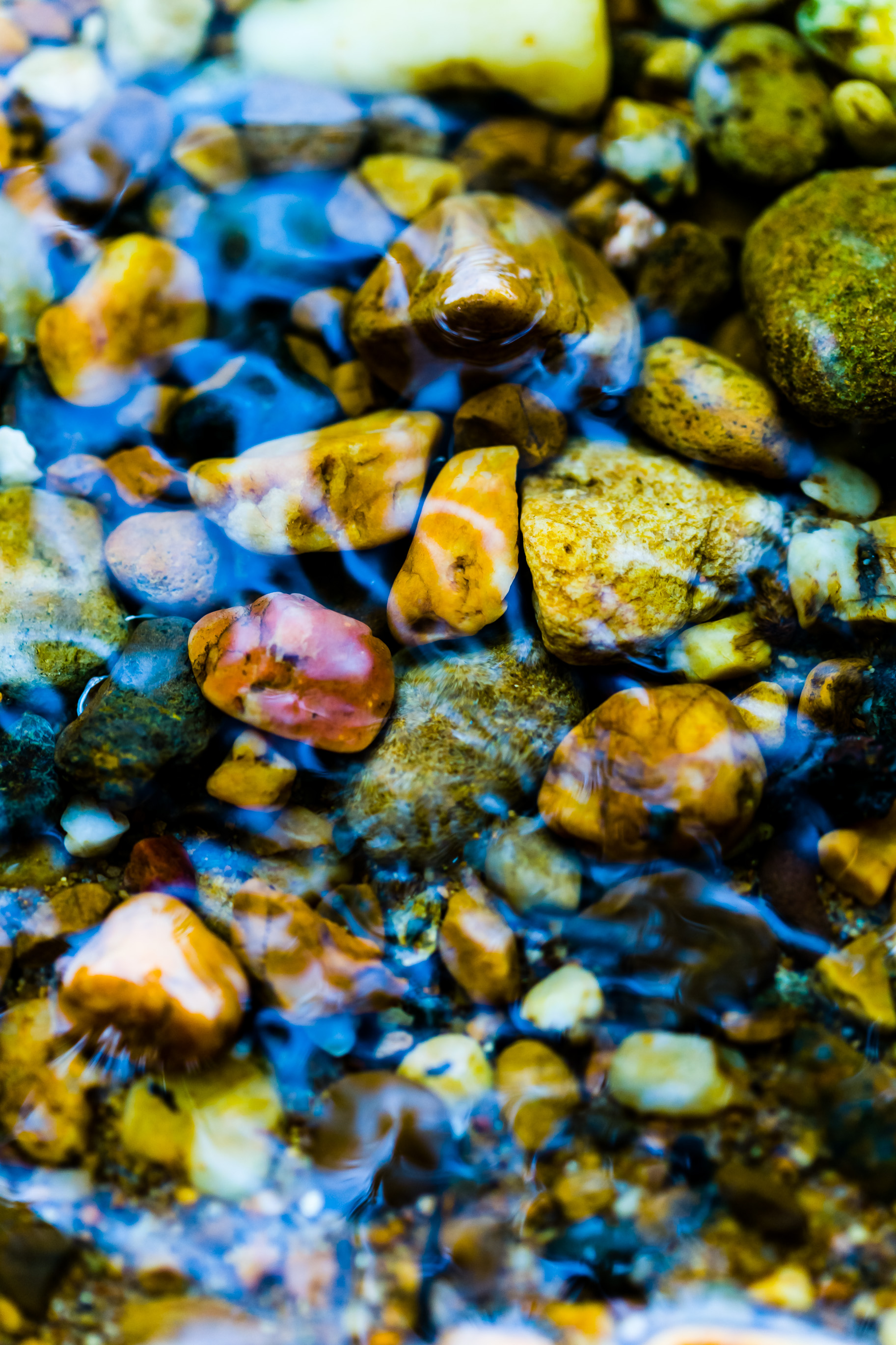
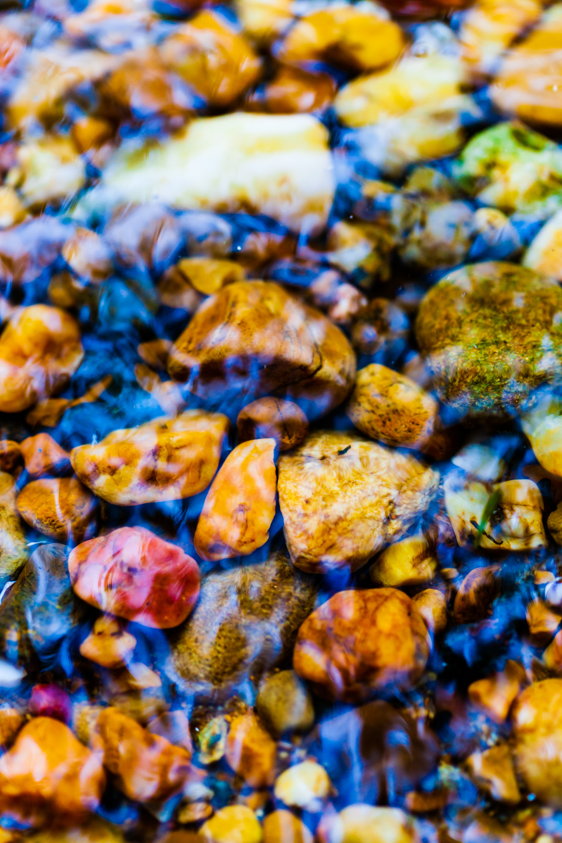
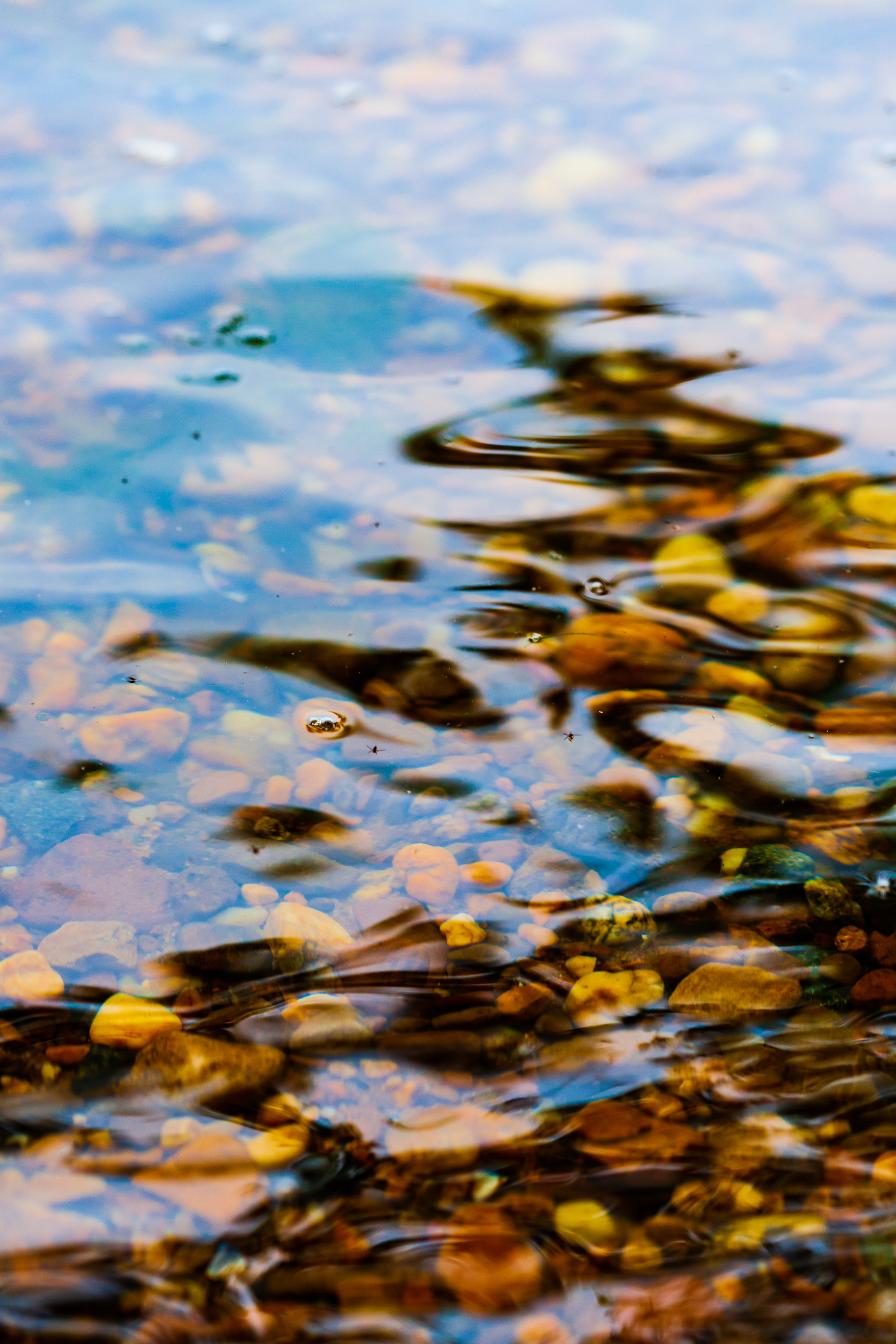
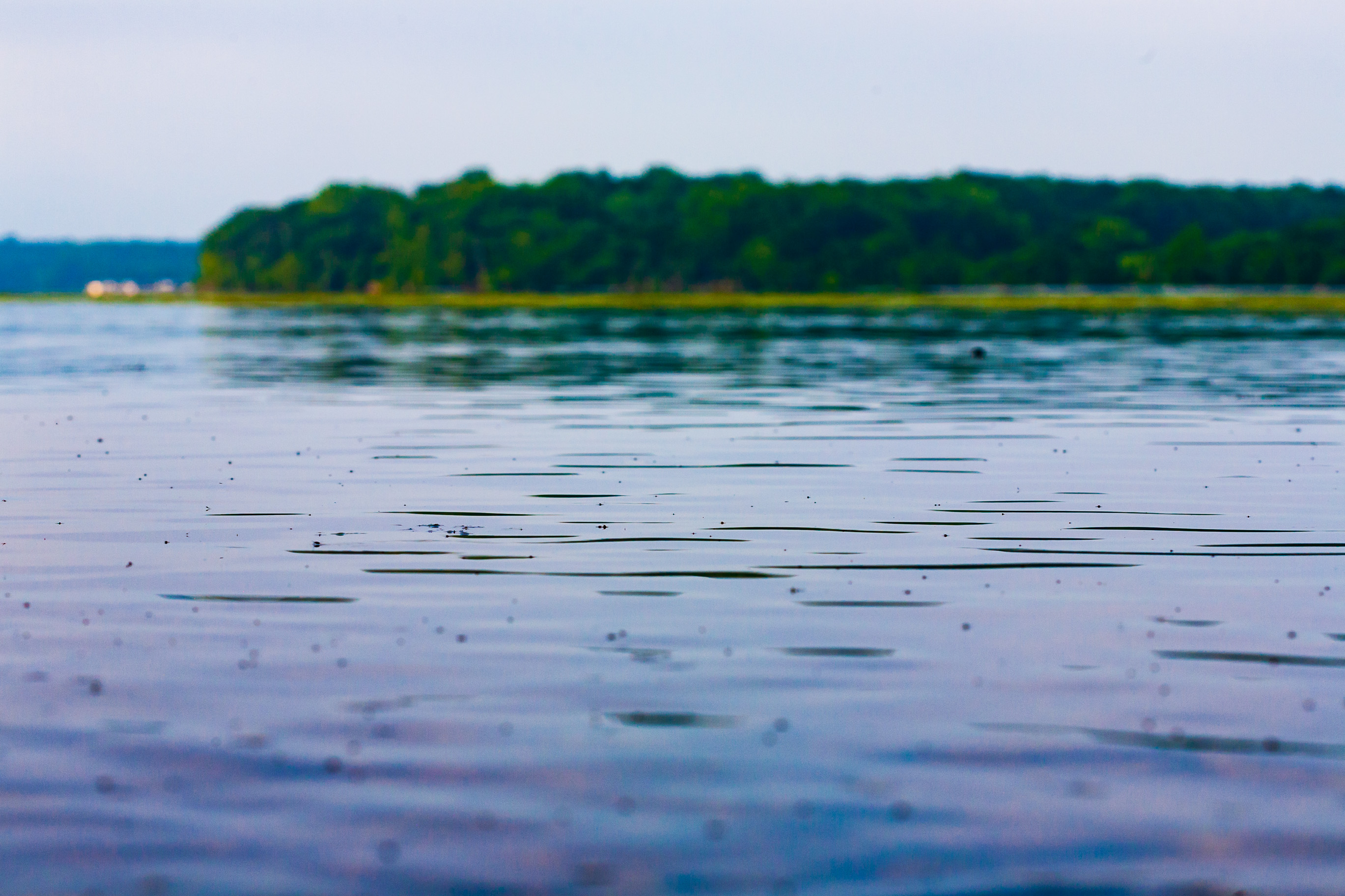
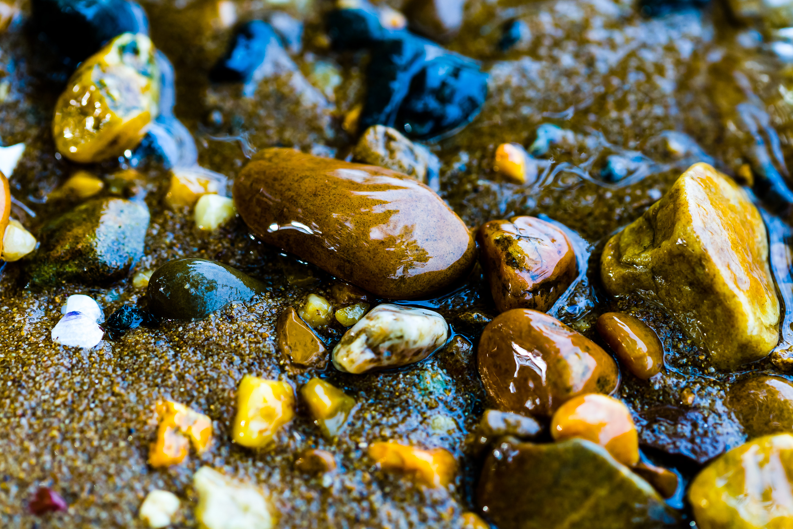
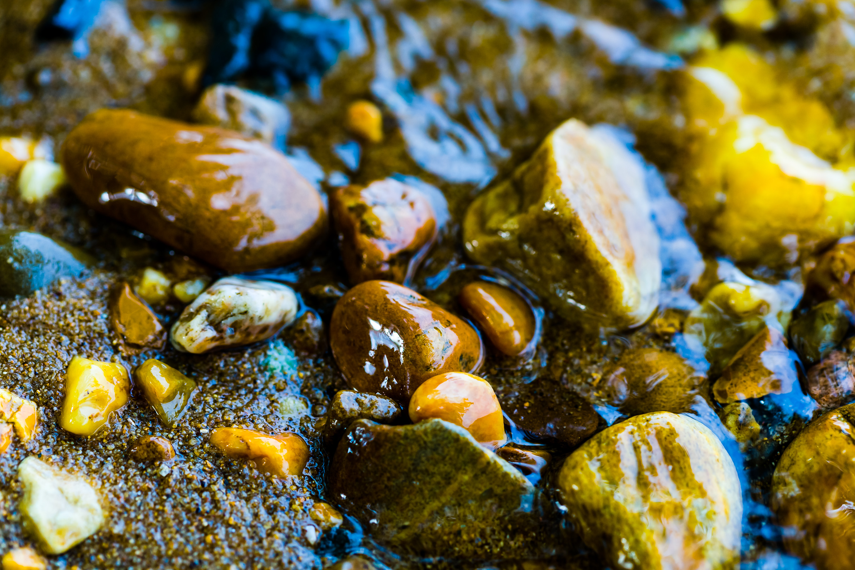
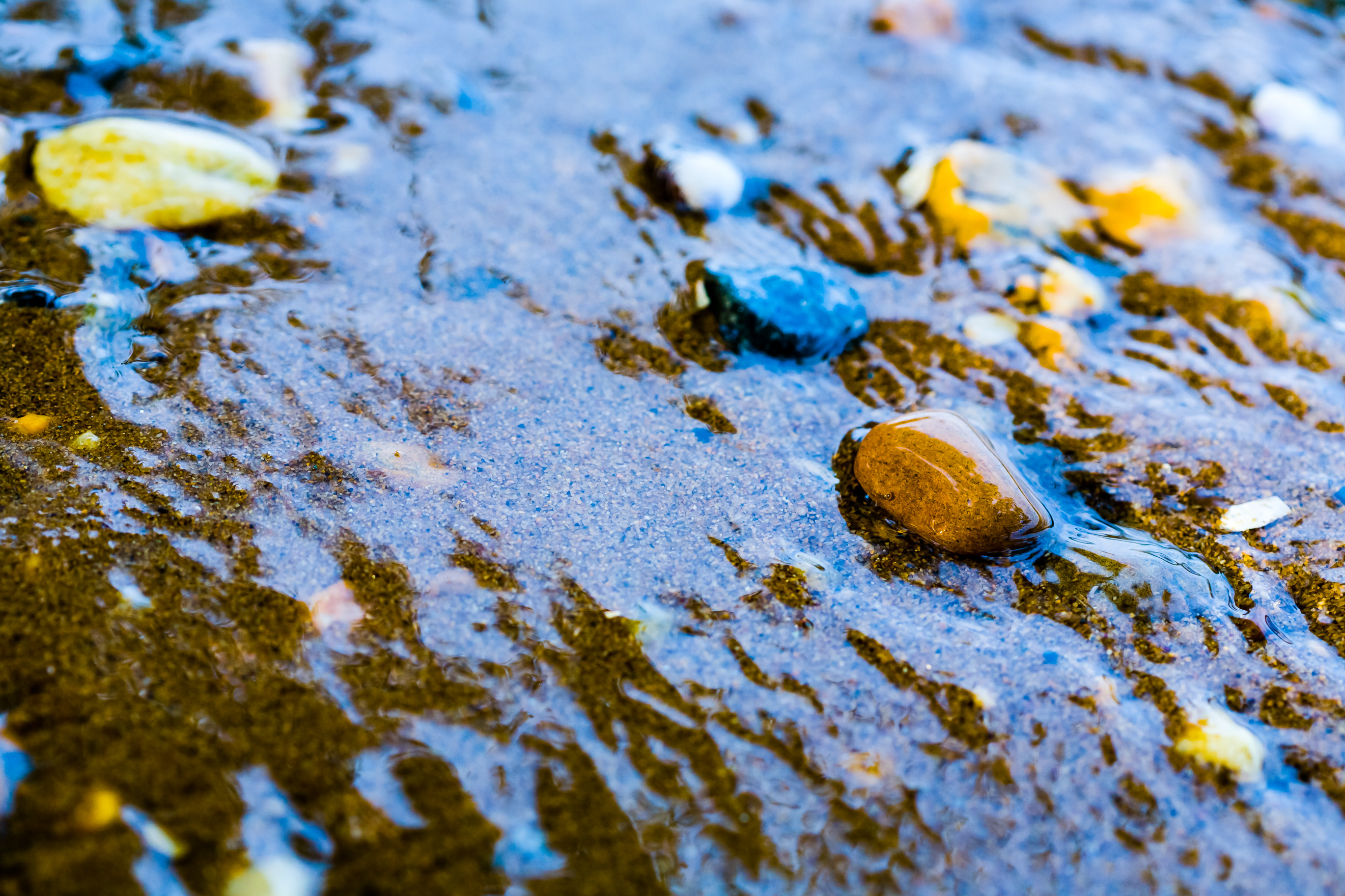
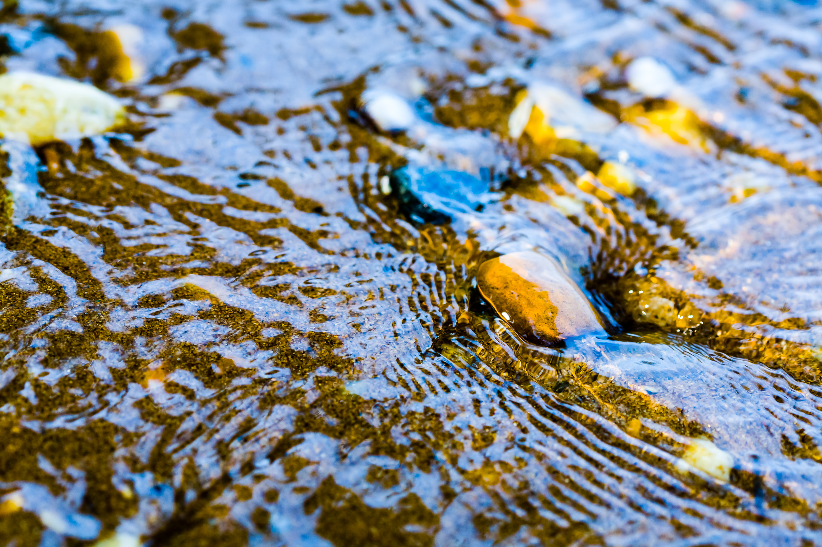
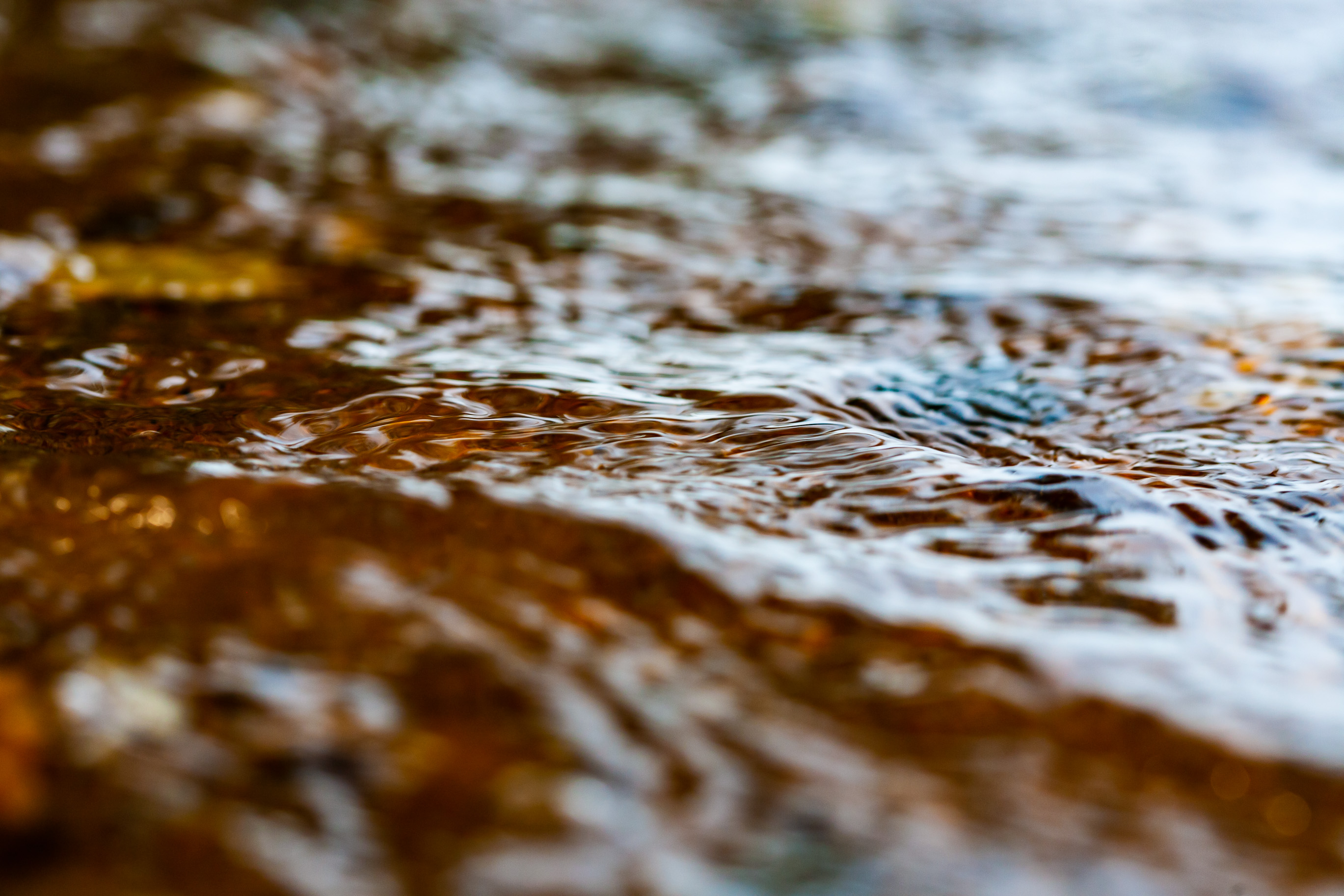
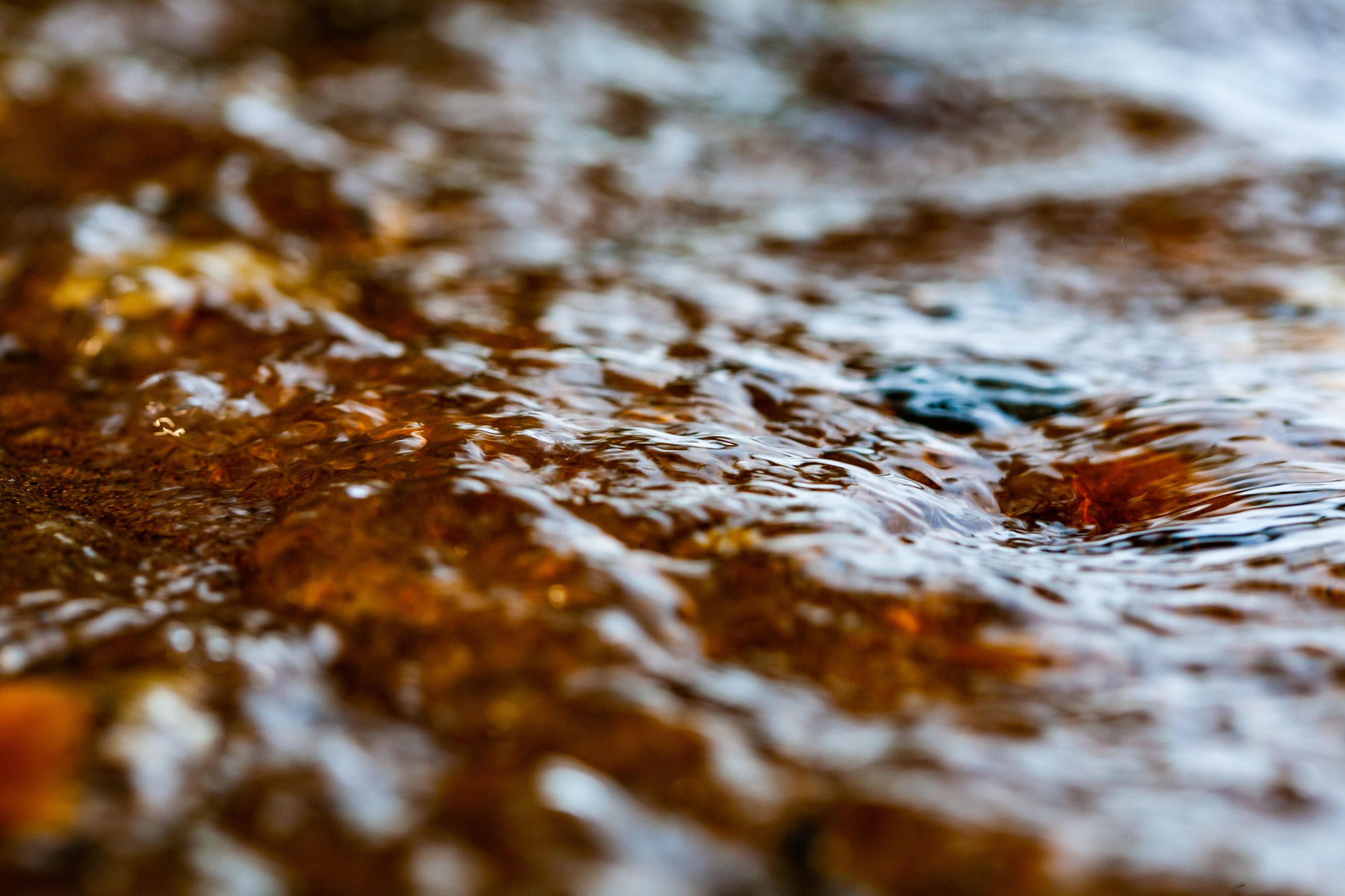
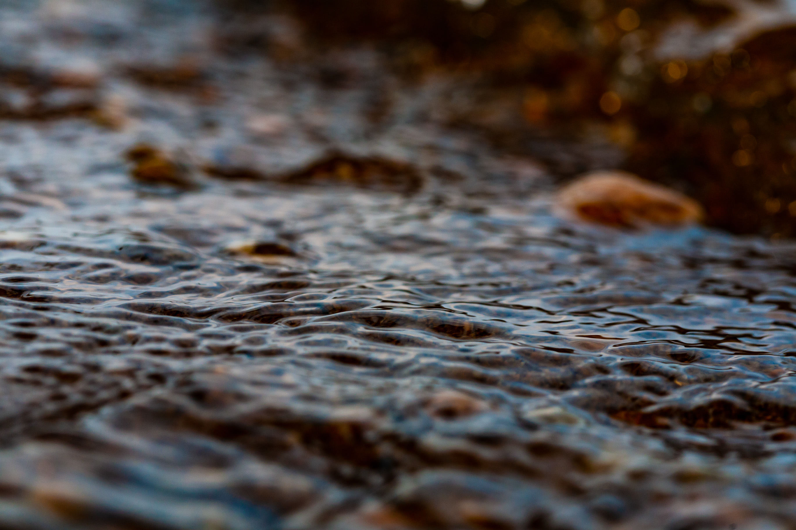
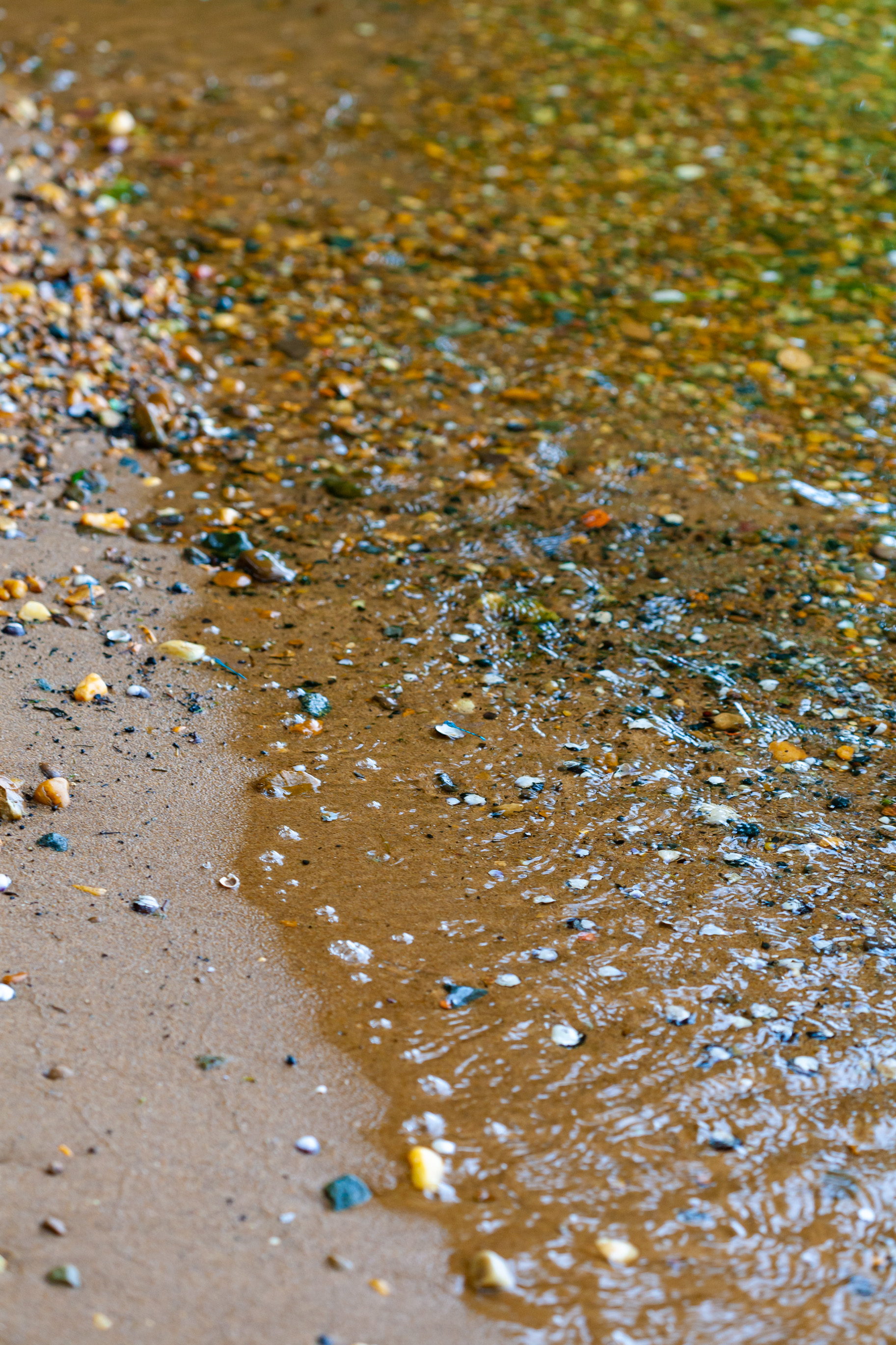
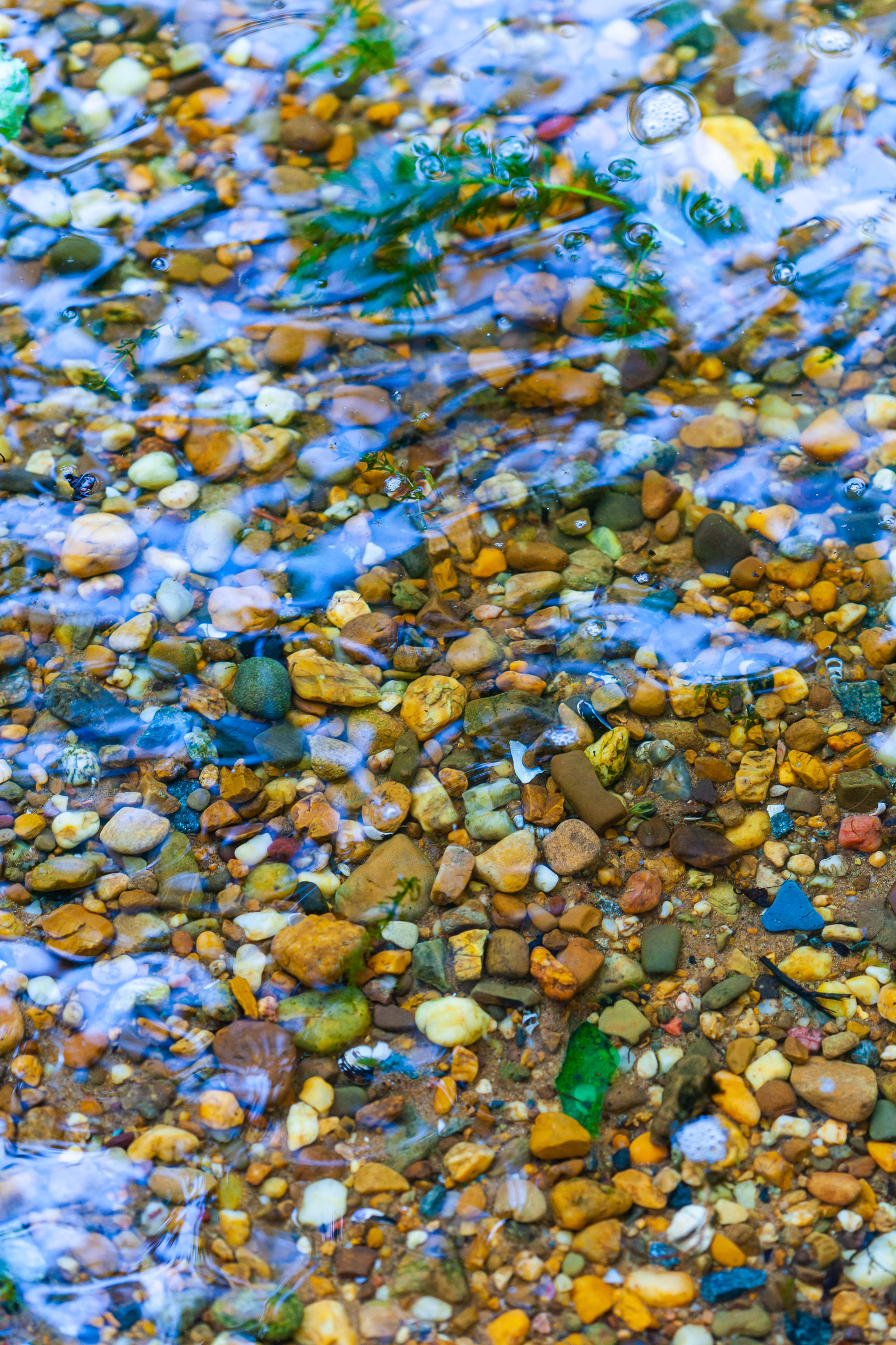
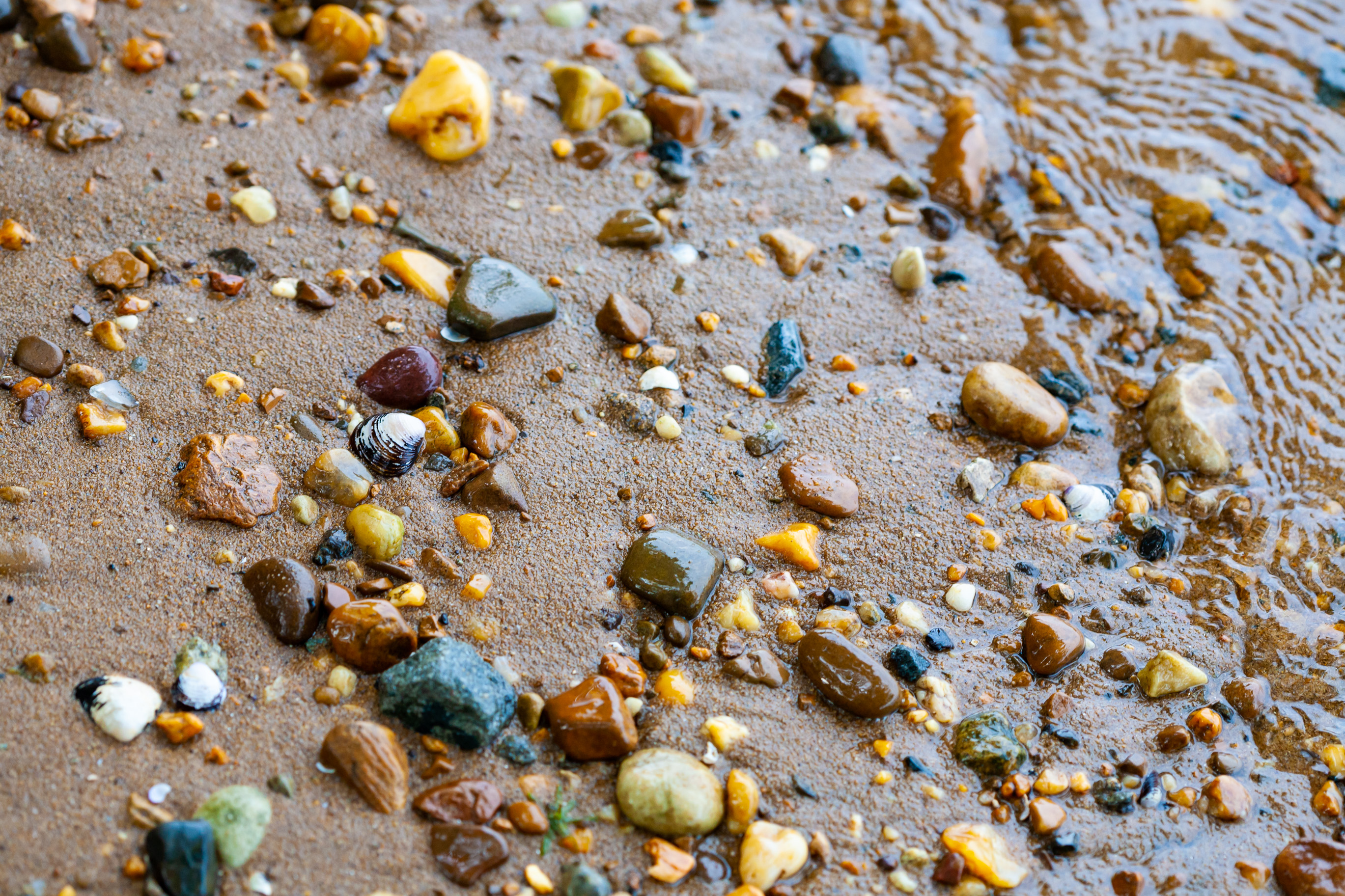
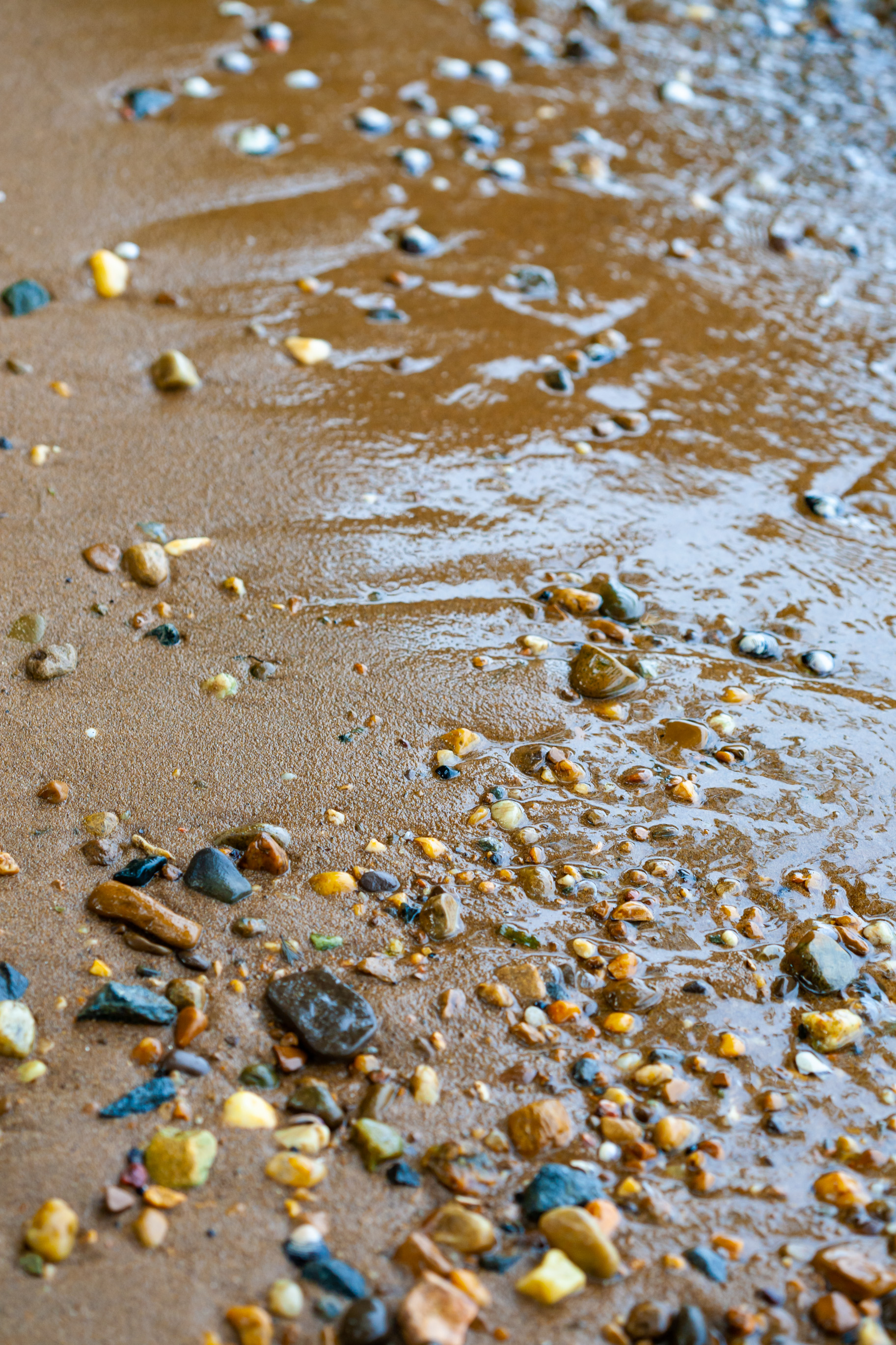
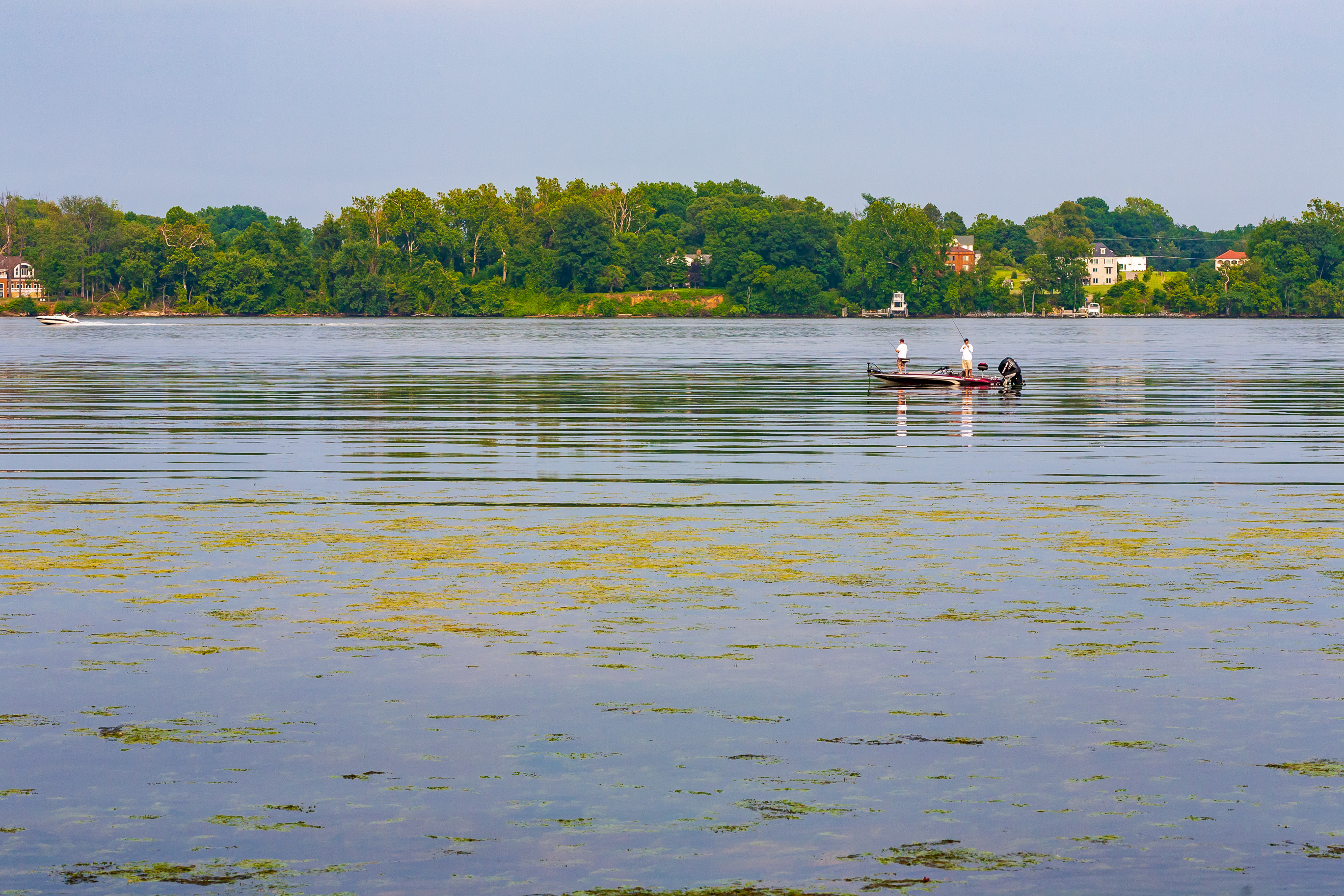
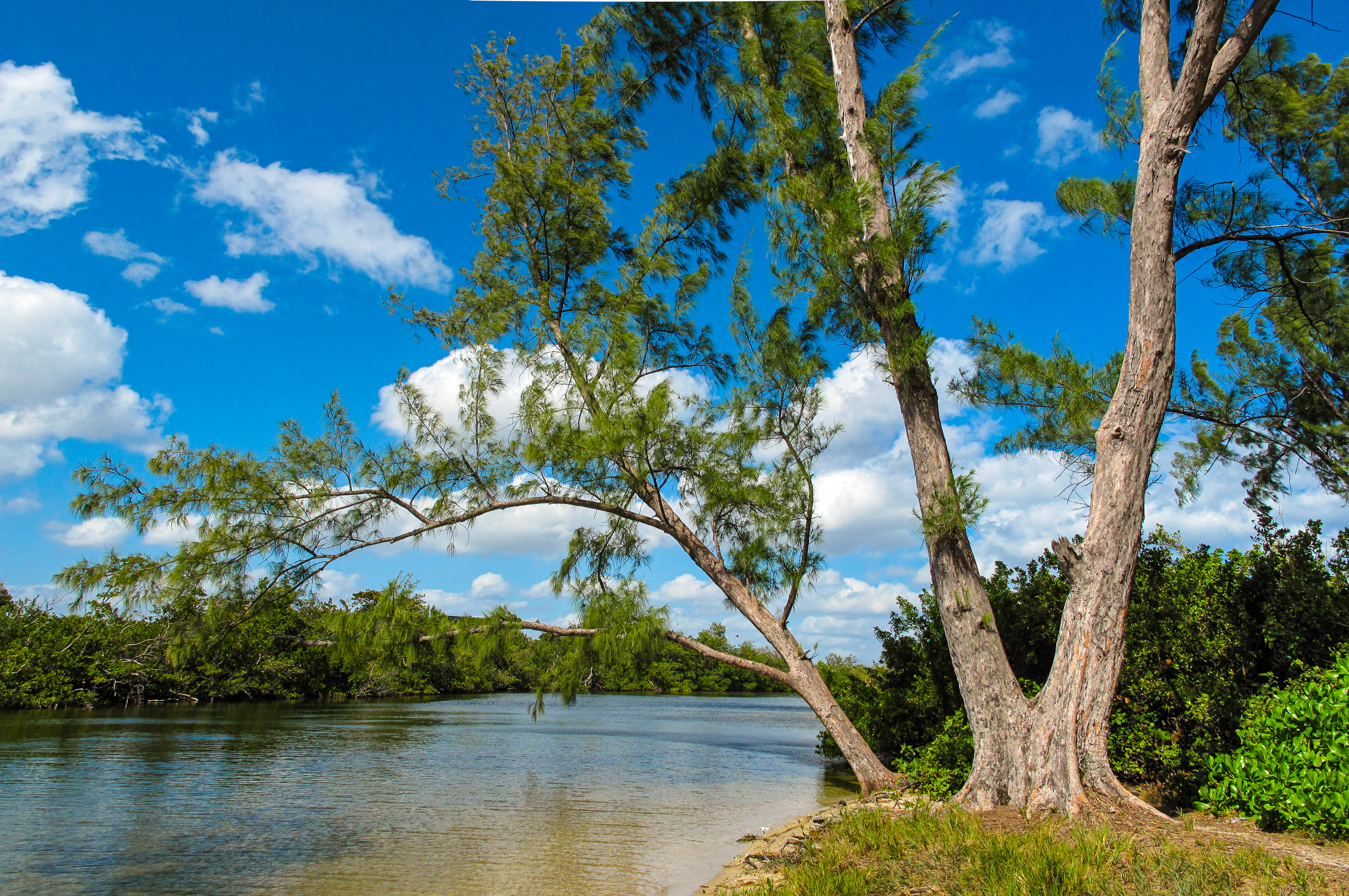
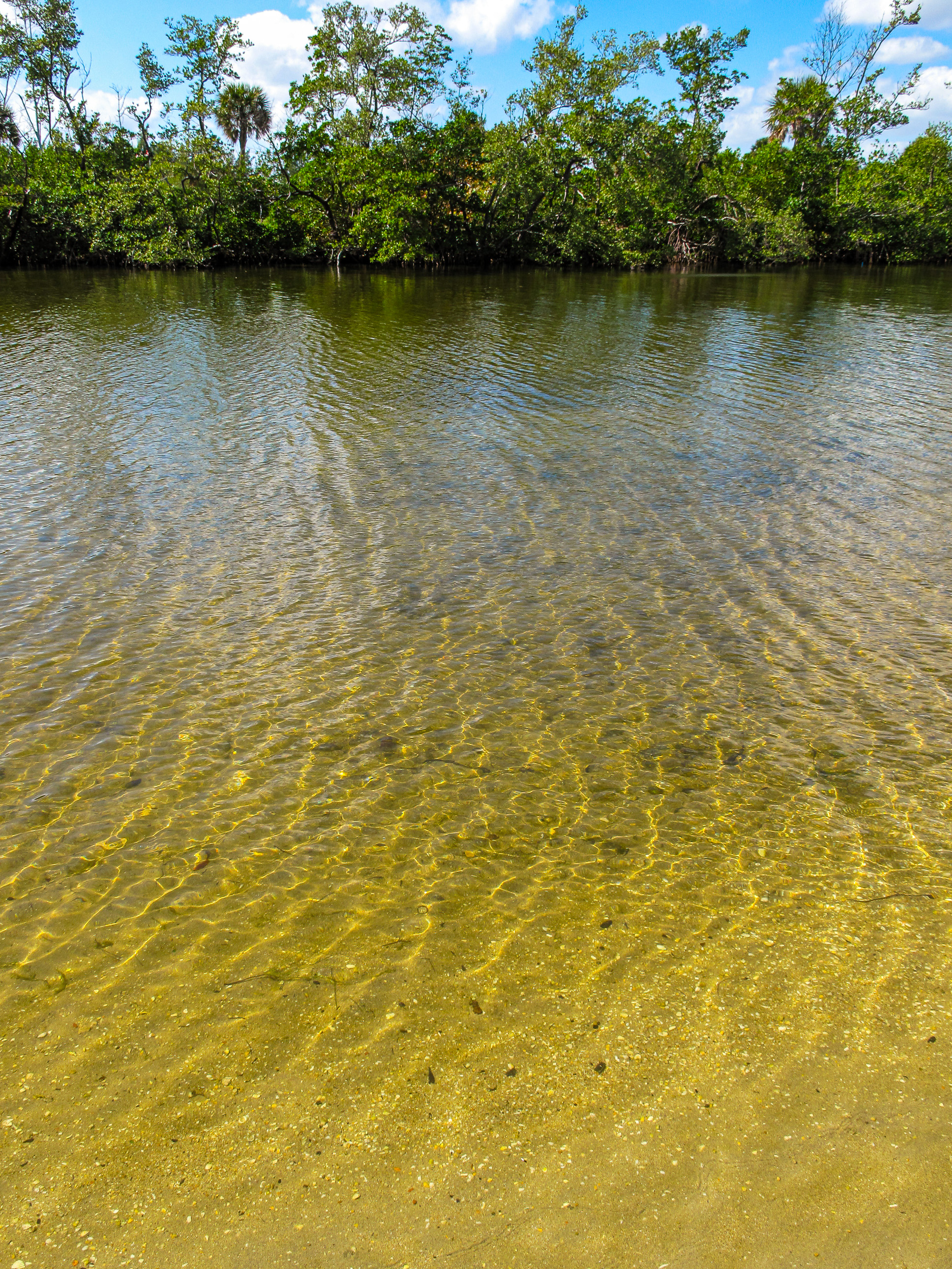
As we continued driving south, a little place called out to us. From the road, it only looked like a little parking lot, and perhaps we were simply looking to stretch our legs once more — or something told us to stop. We did, and as you’ll see in the photographs, it was well worth it. The shoreline of the Potomac is special there. The river flows by quietly and you get these little ripples in the water that look wonderful in the light of the late afternoon. Round little pebbles of all colors are mixed with the yellow mud and brown sand on the shore, and when the light hits all of them just right, it makes for magical little vignettes that capture your imagination.
I didn’t have GPS with me at the time, so I had to guesstimate the location 10 years after having visited it, but after spending about half a day looking at maps and satellite imagery, I believe this spot is the Collingwood Picnic Area on the Virginia side of the Potomac River. Perhaps it’s changed since we visited it and these photos represent a certain moment in time when things simply came together. I don’t know. I’ll let you rediscover the place. Enjoy the photos!
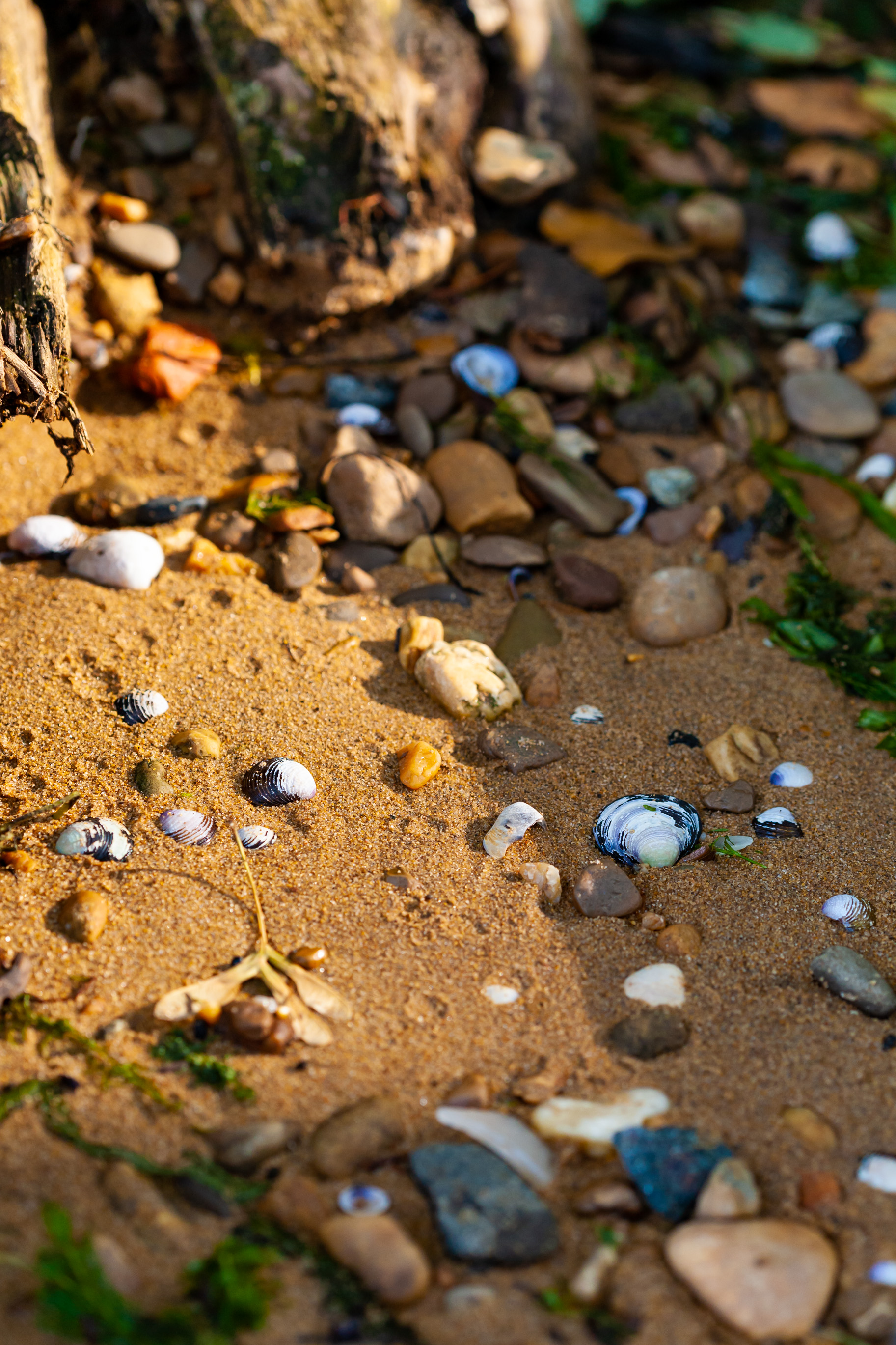
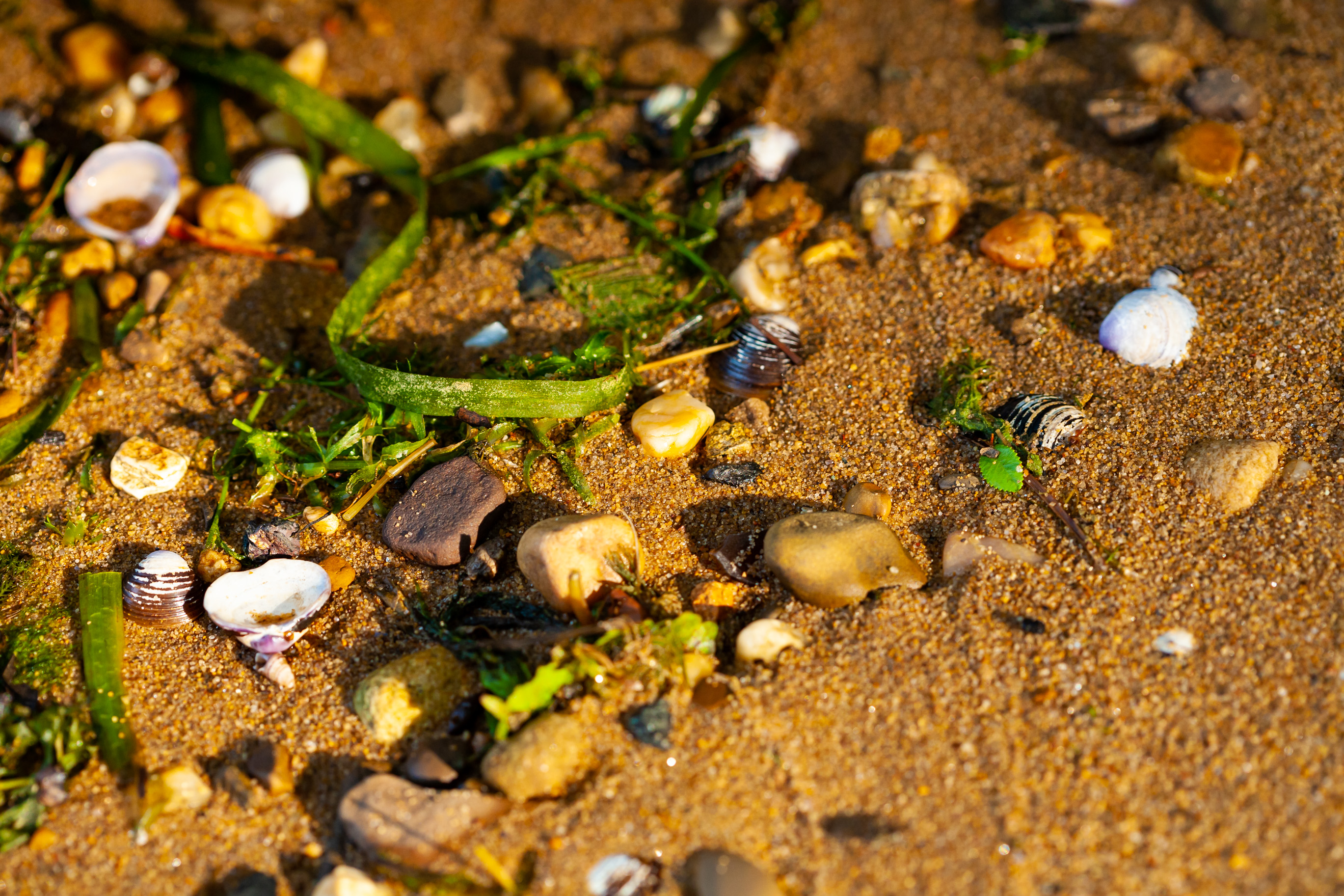
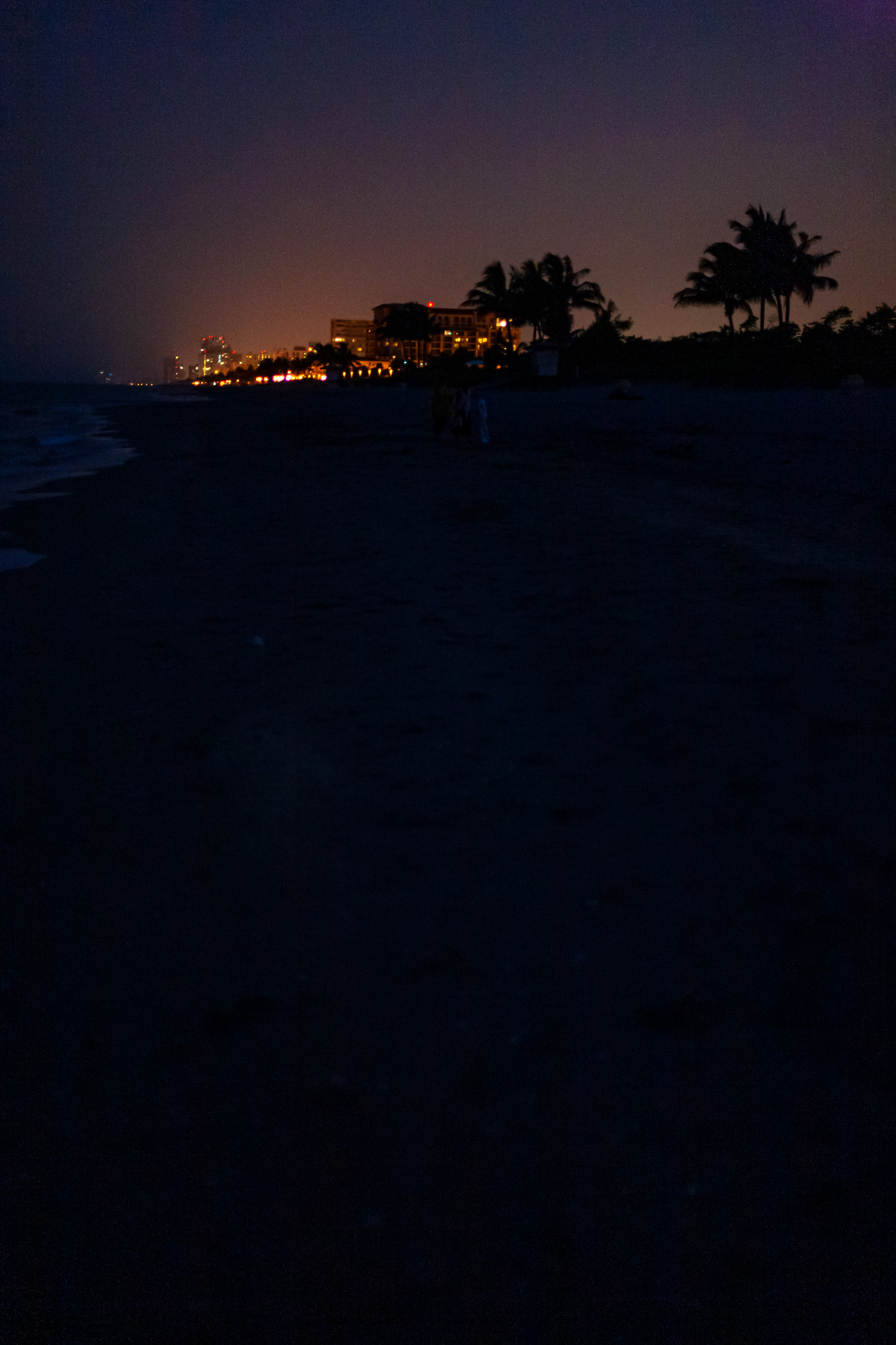
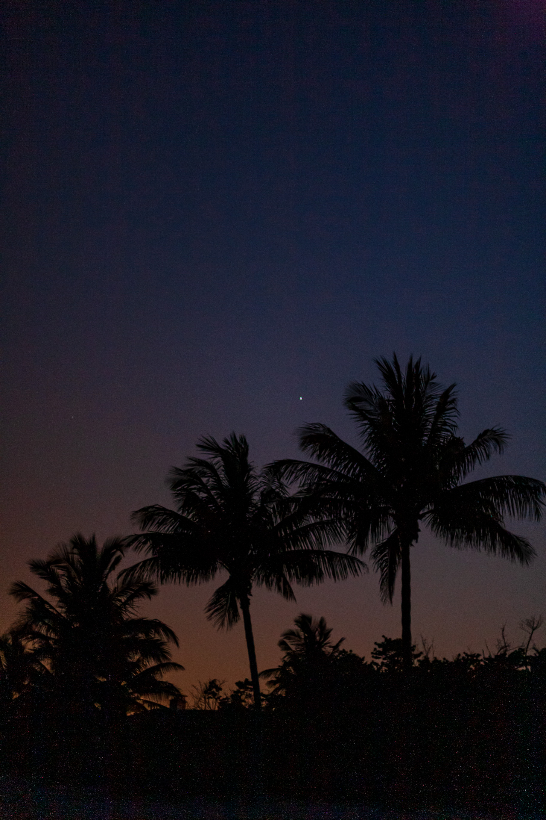
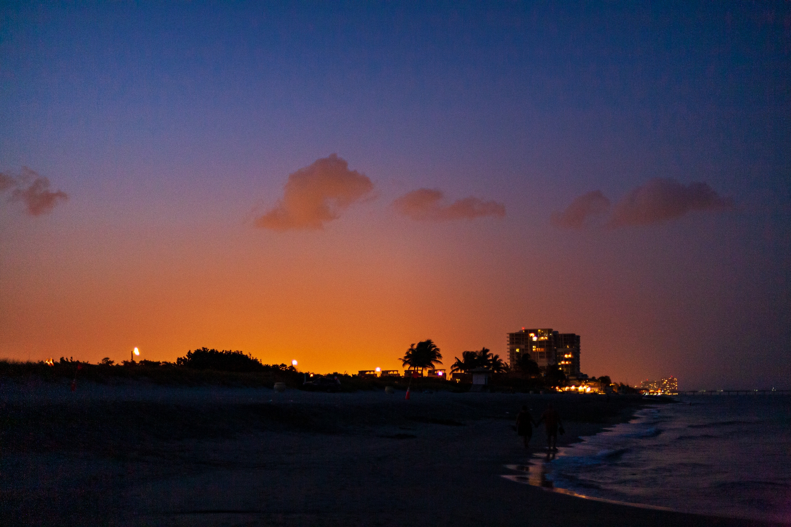
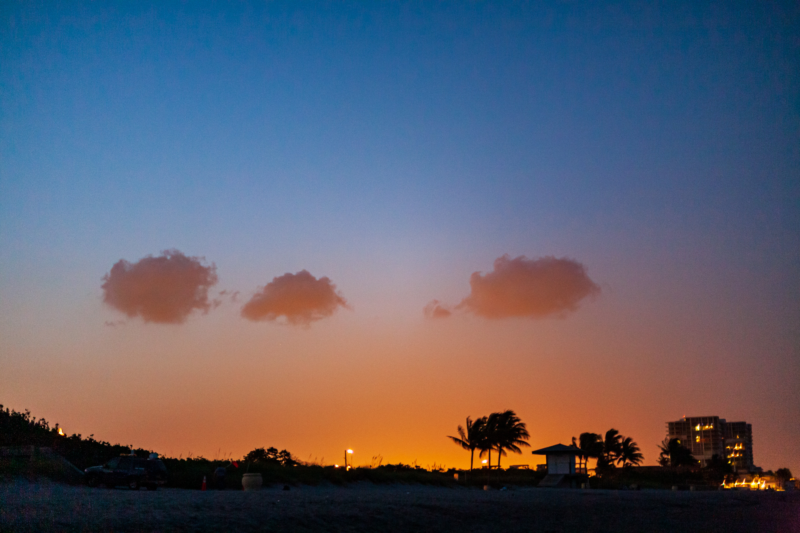
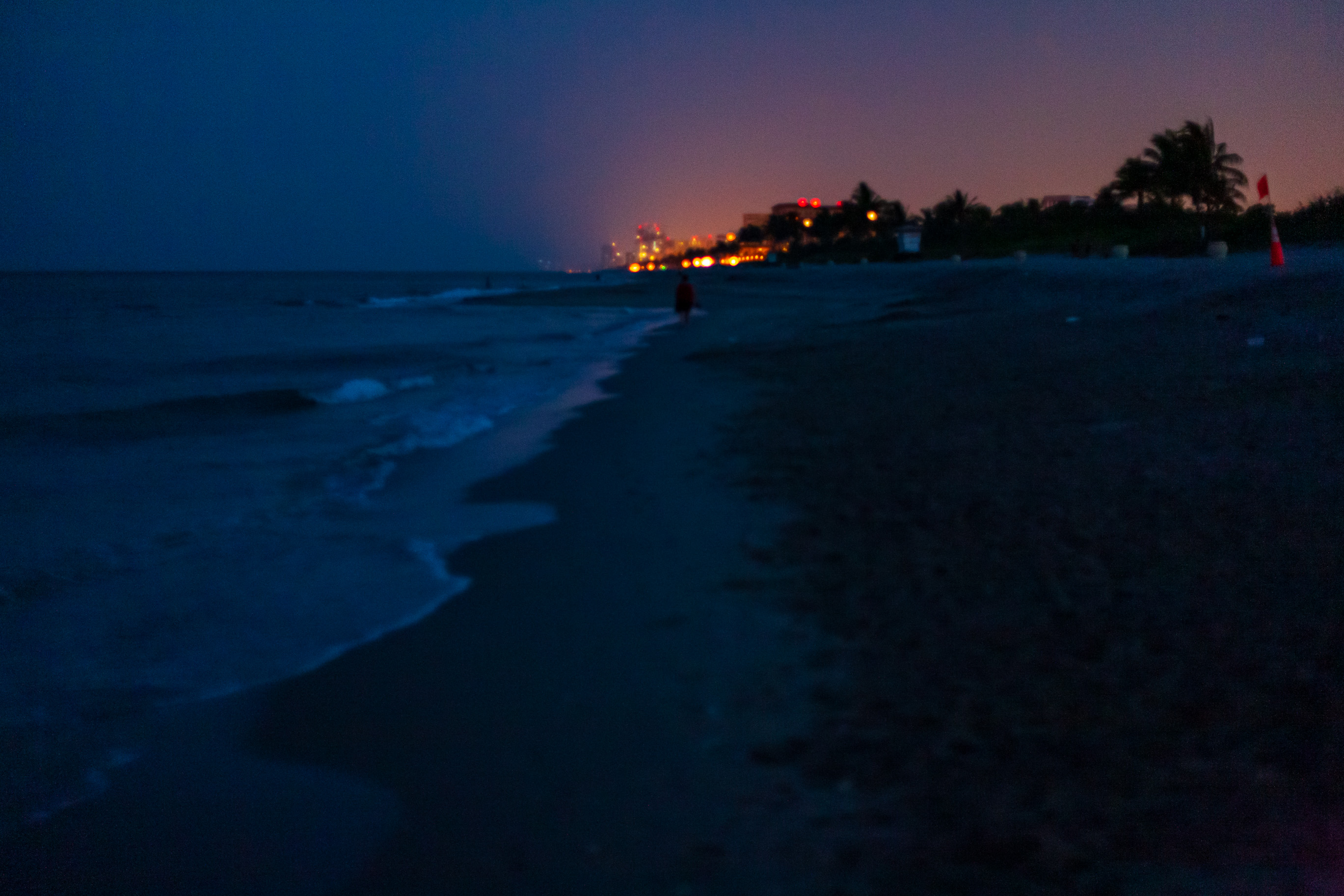
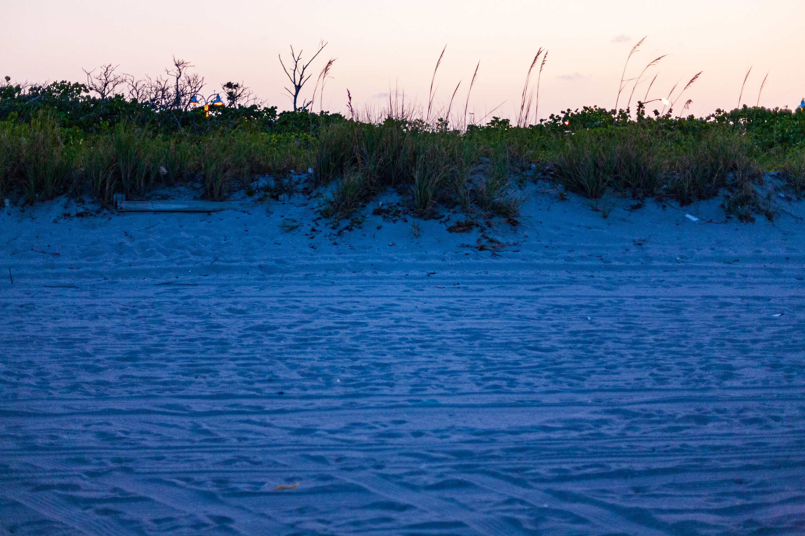
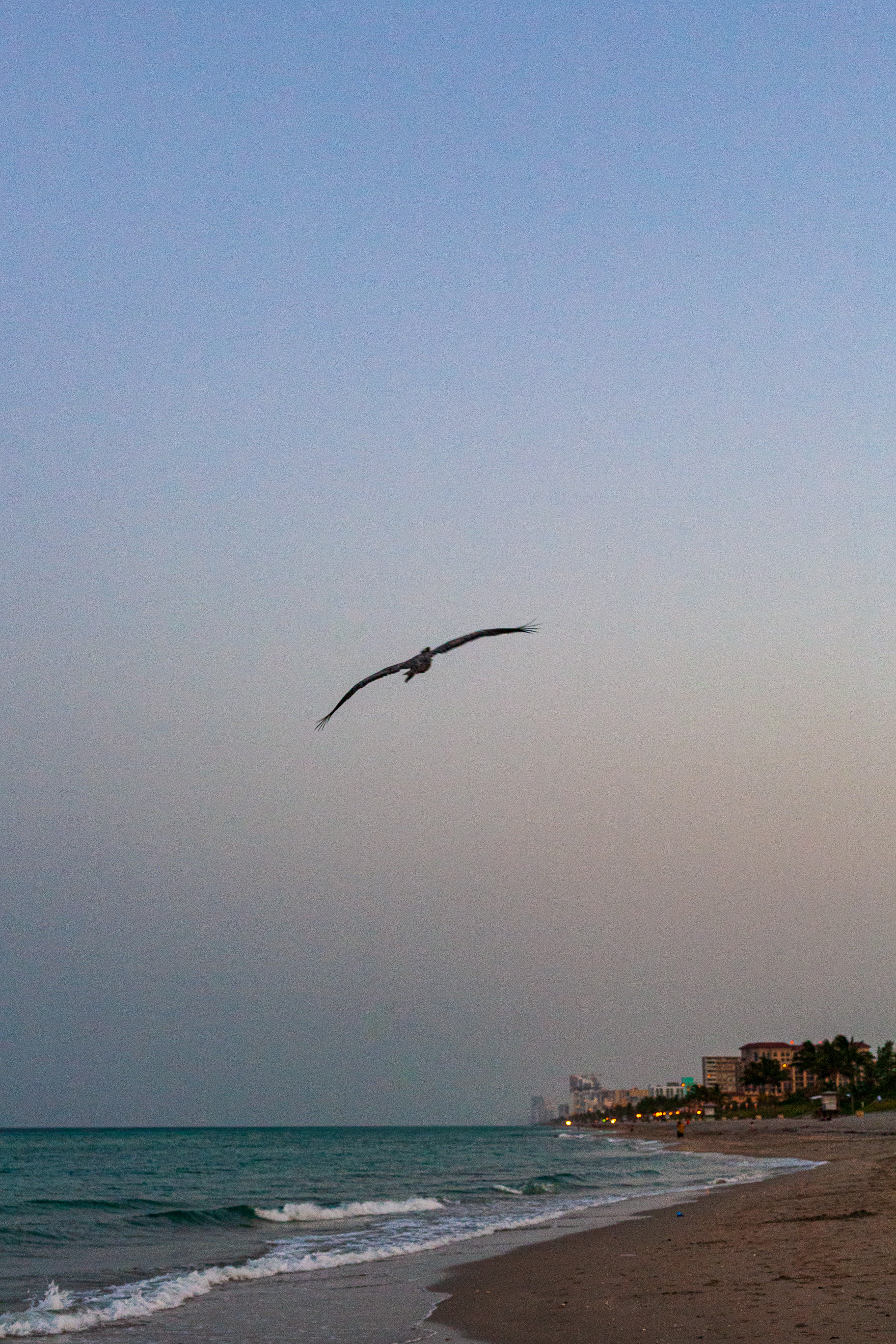
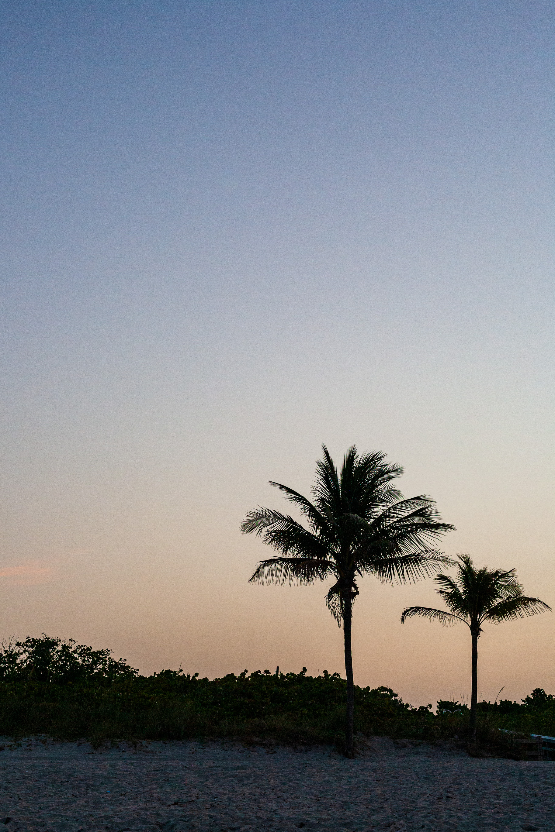
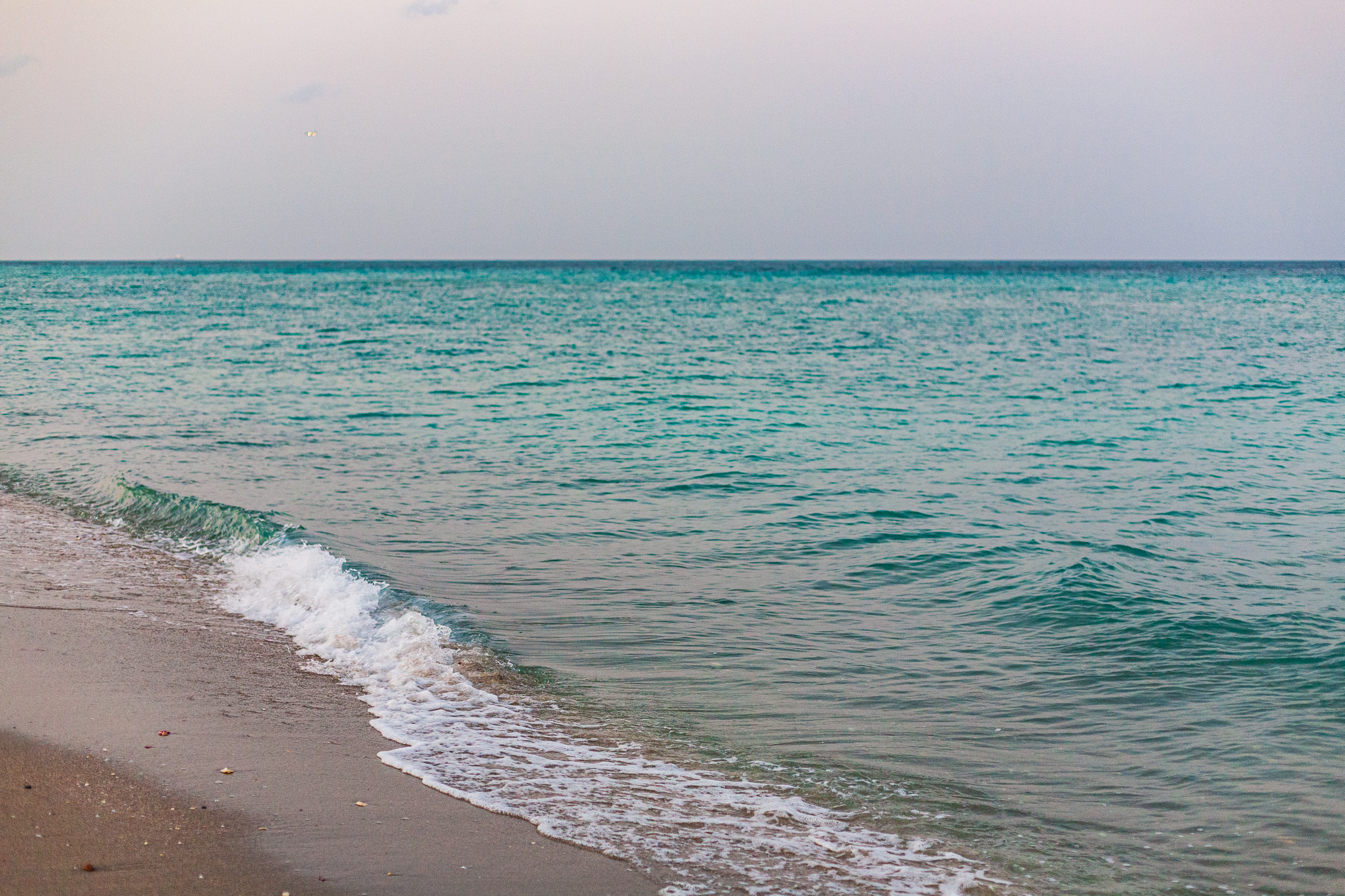
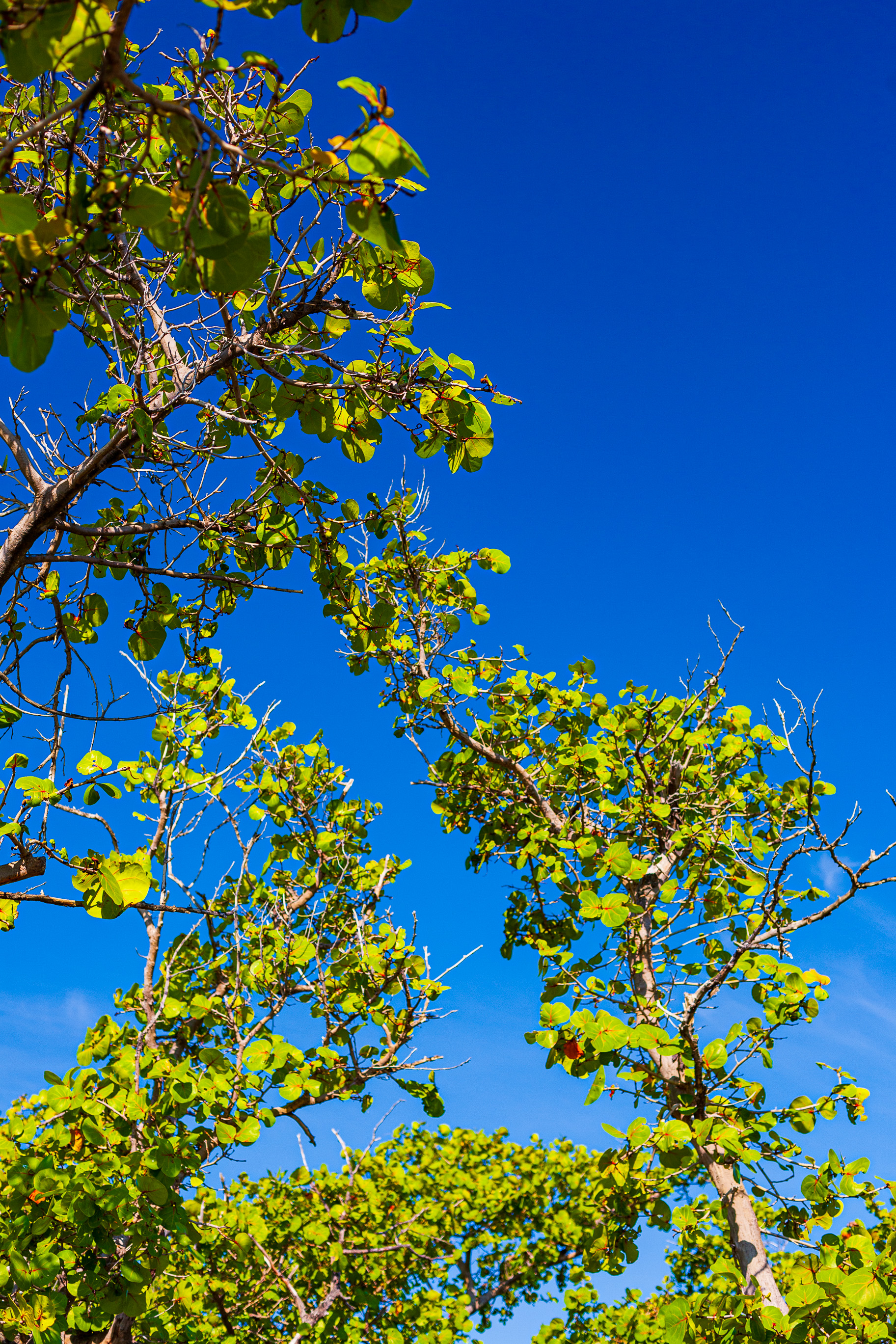
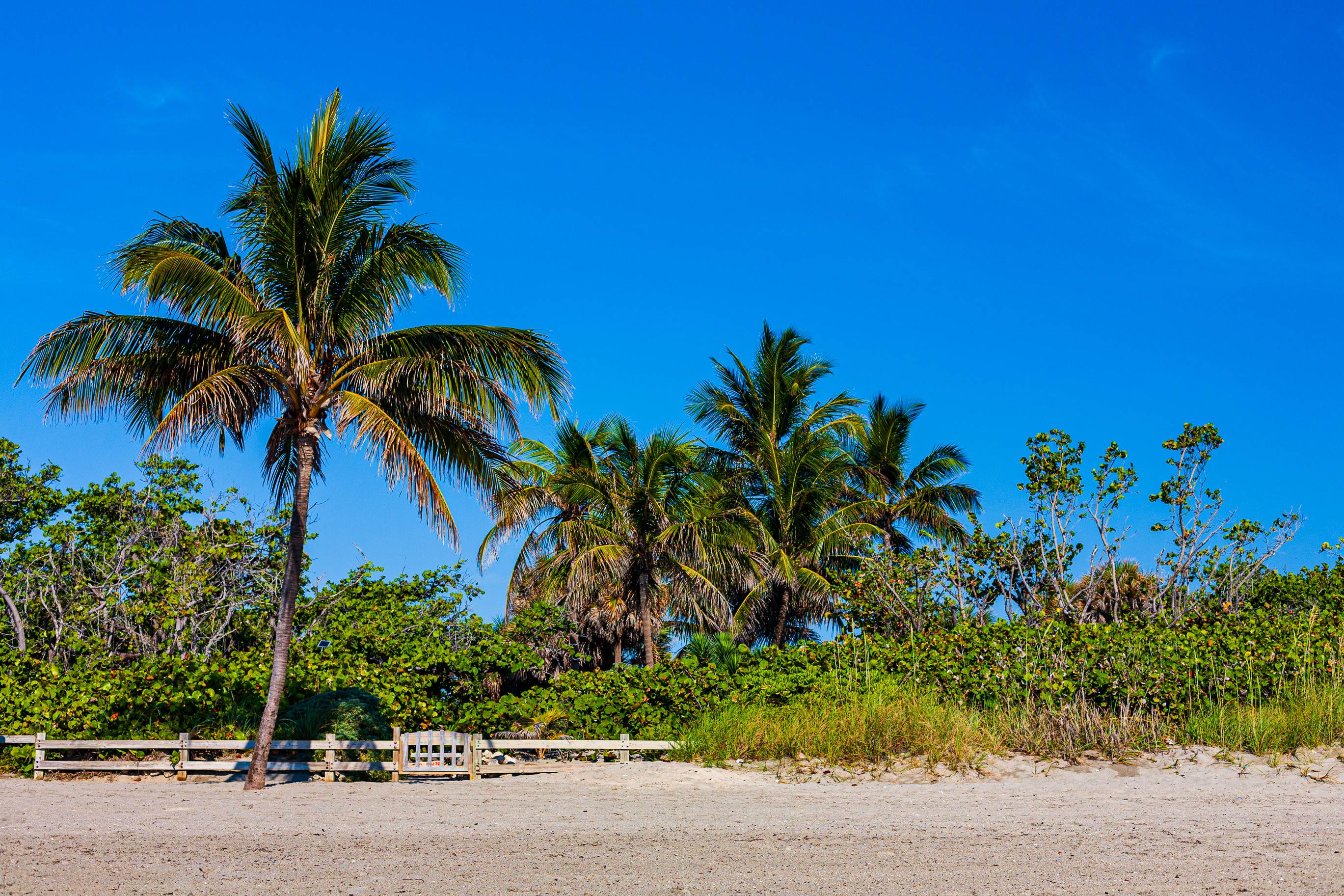
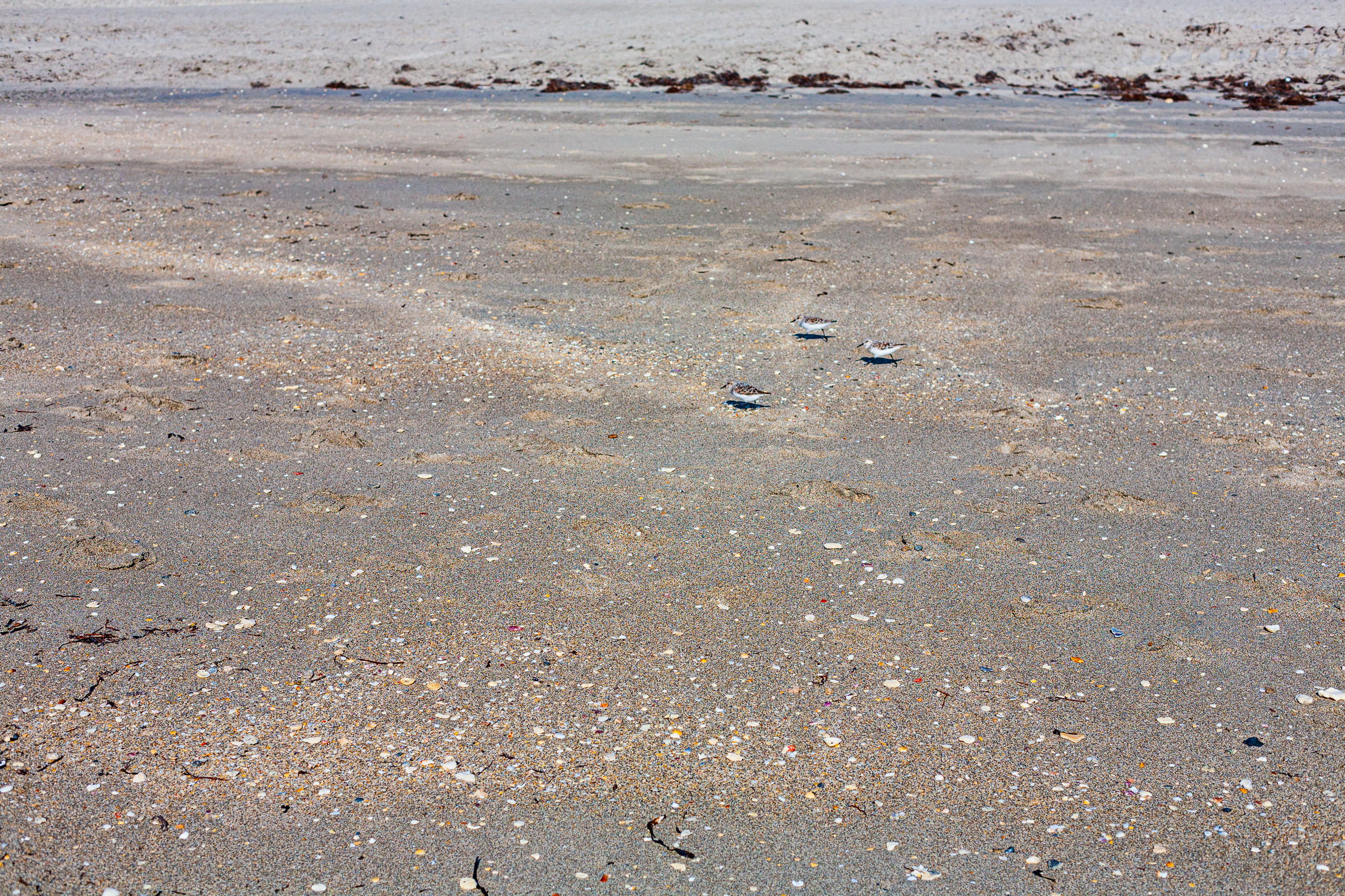
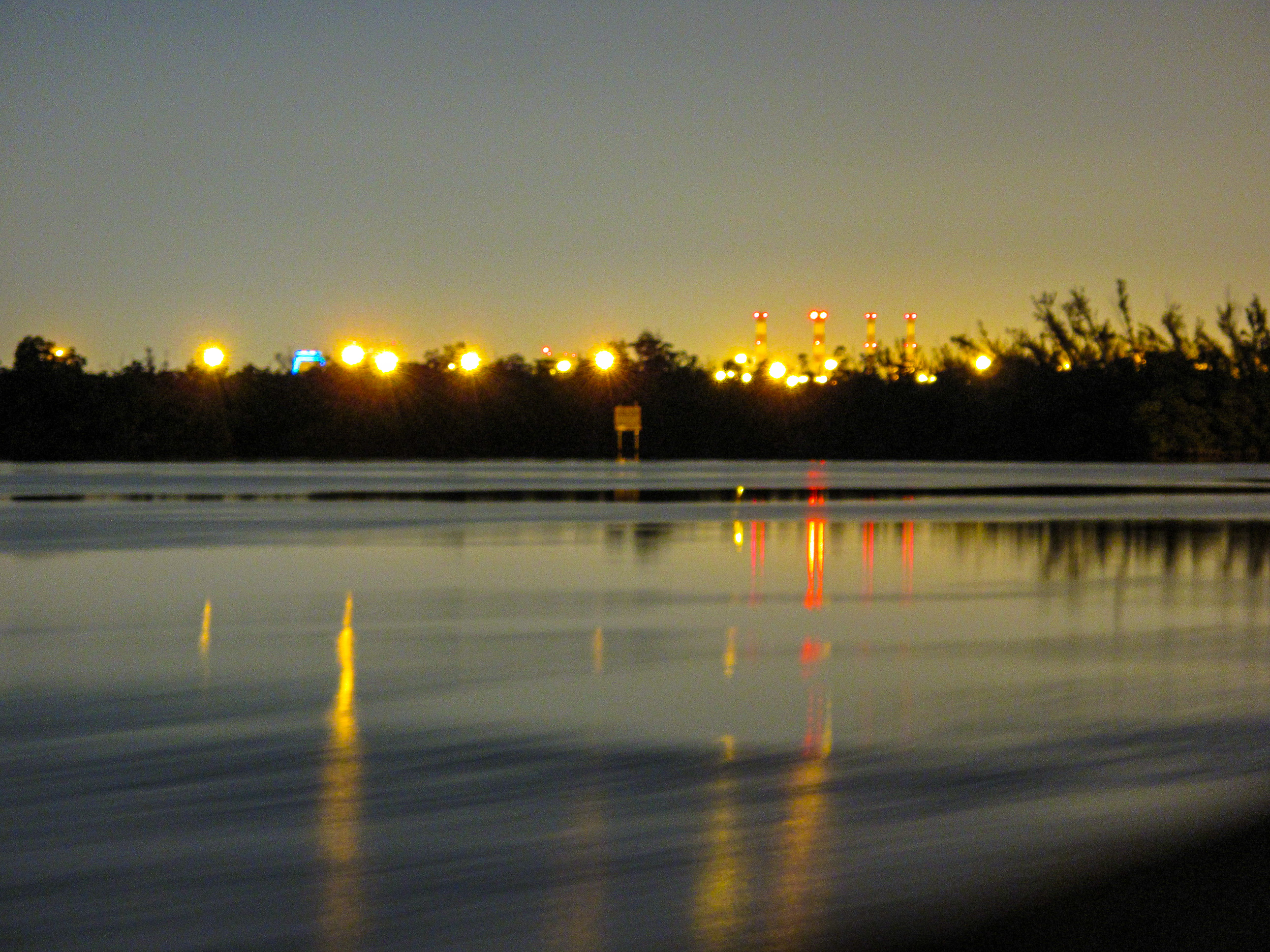
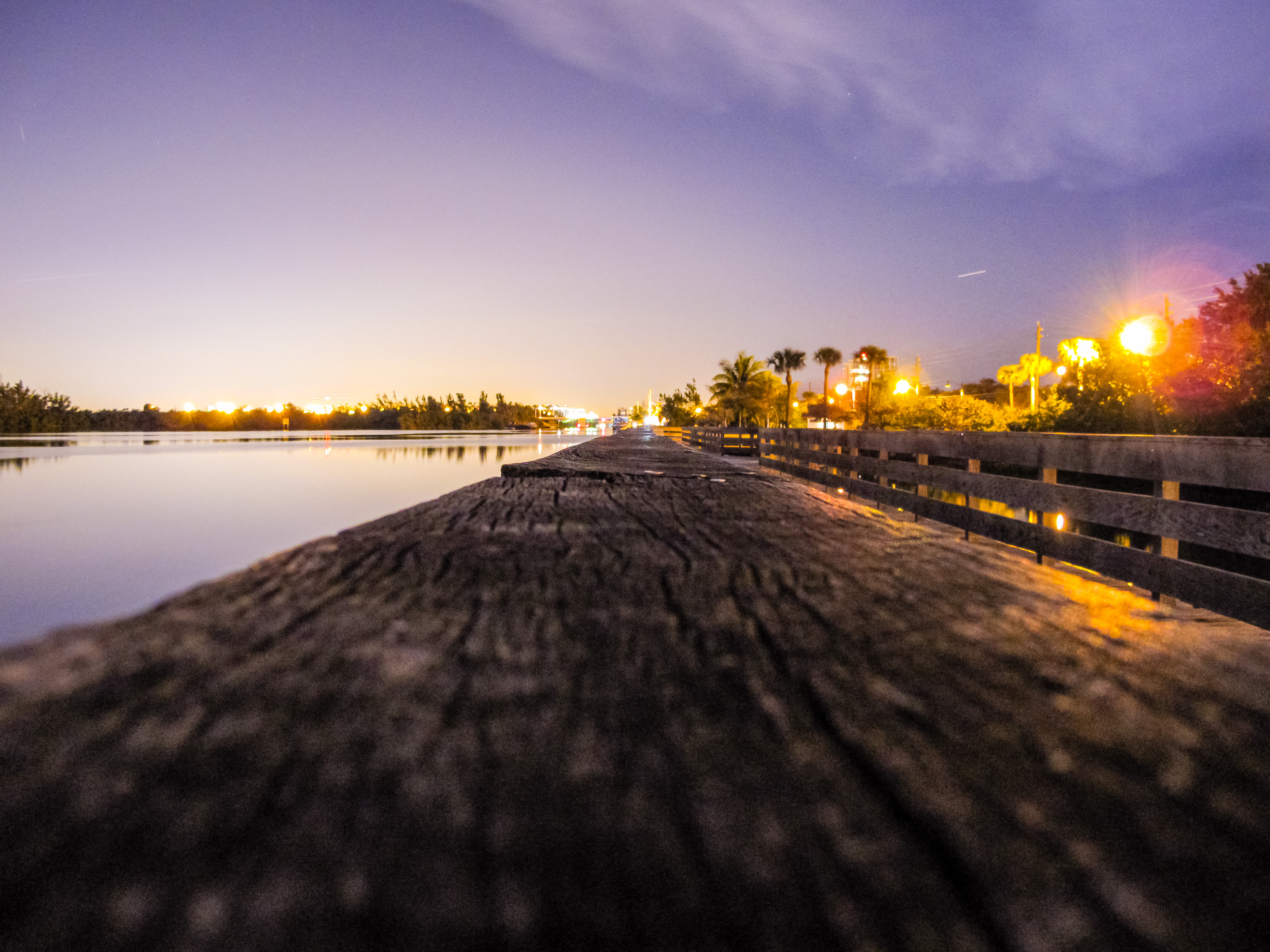
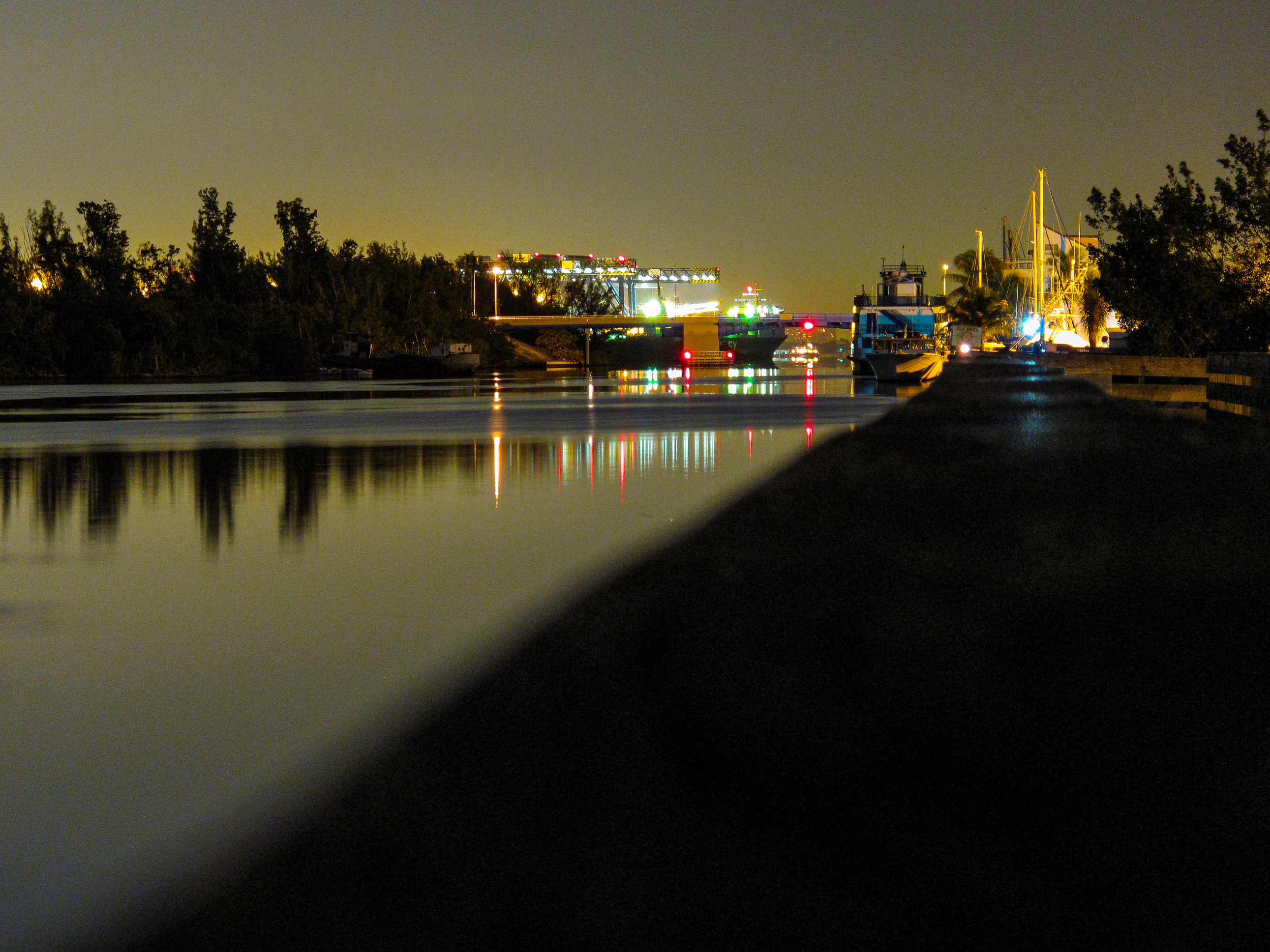
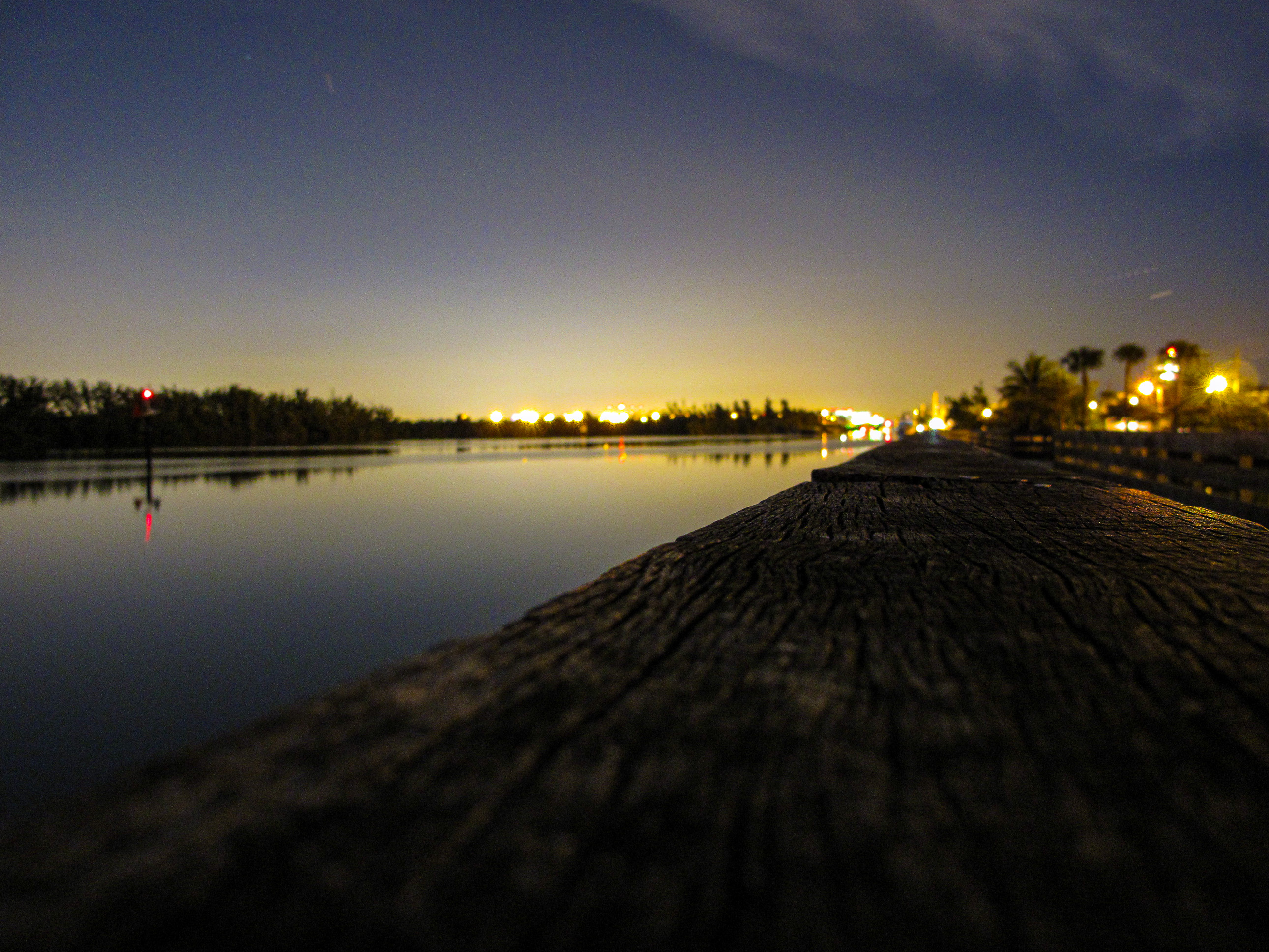
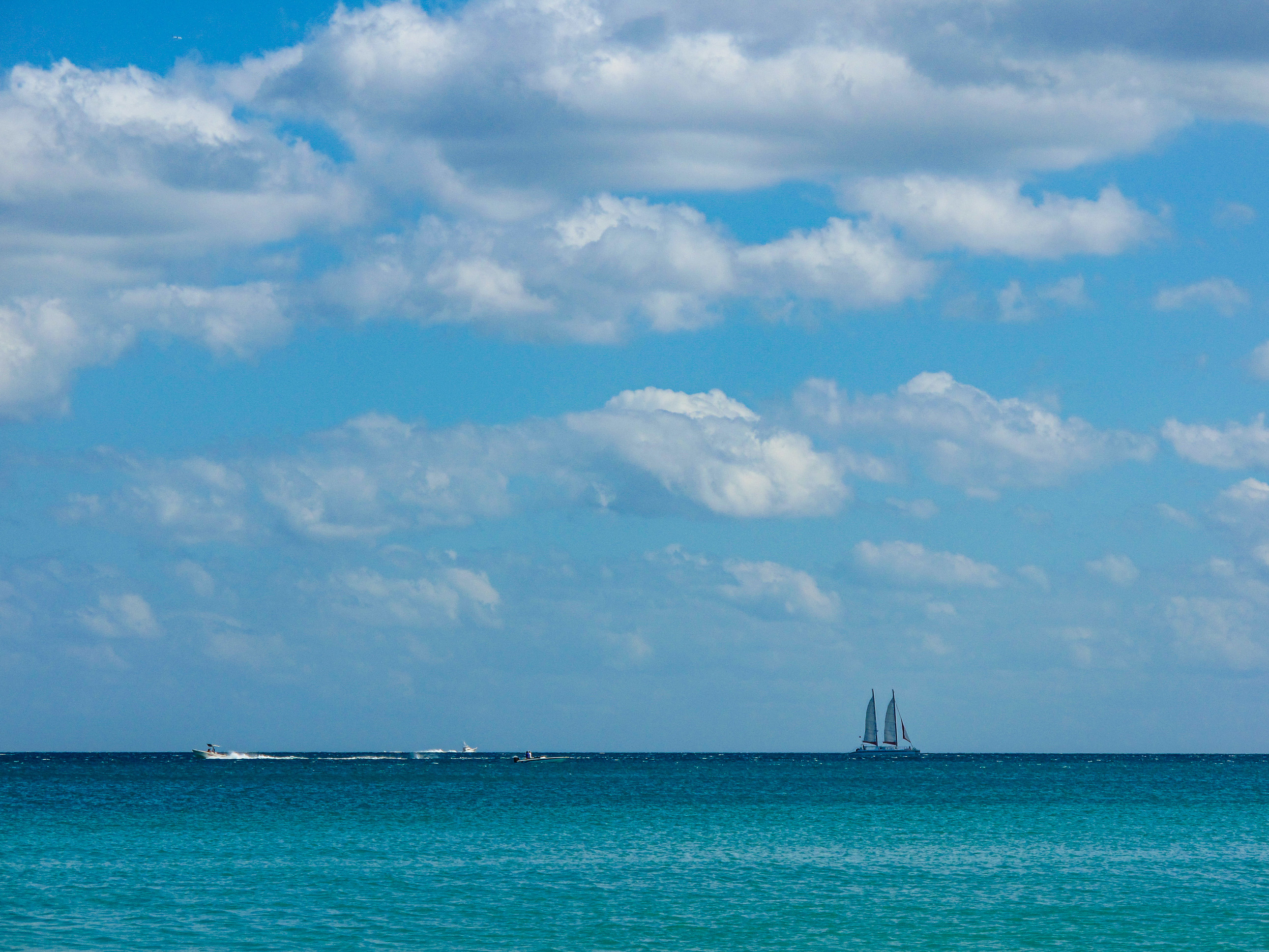
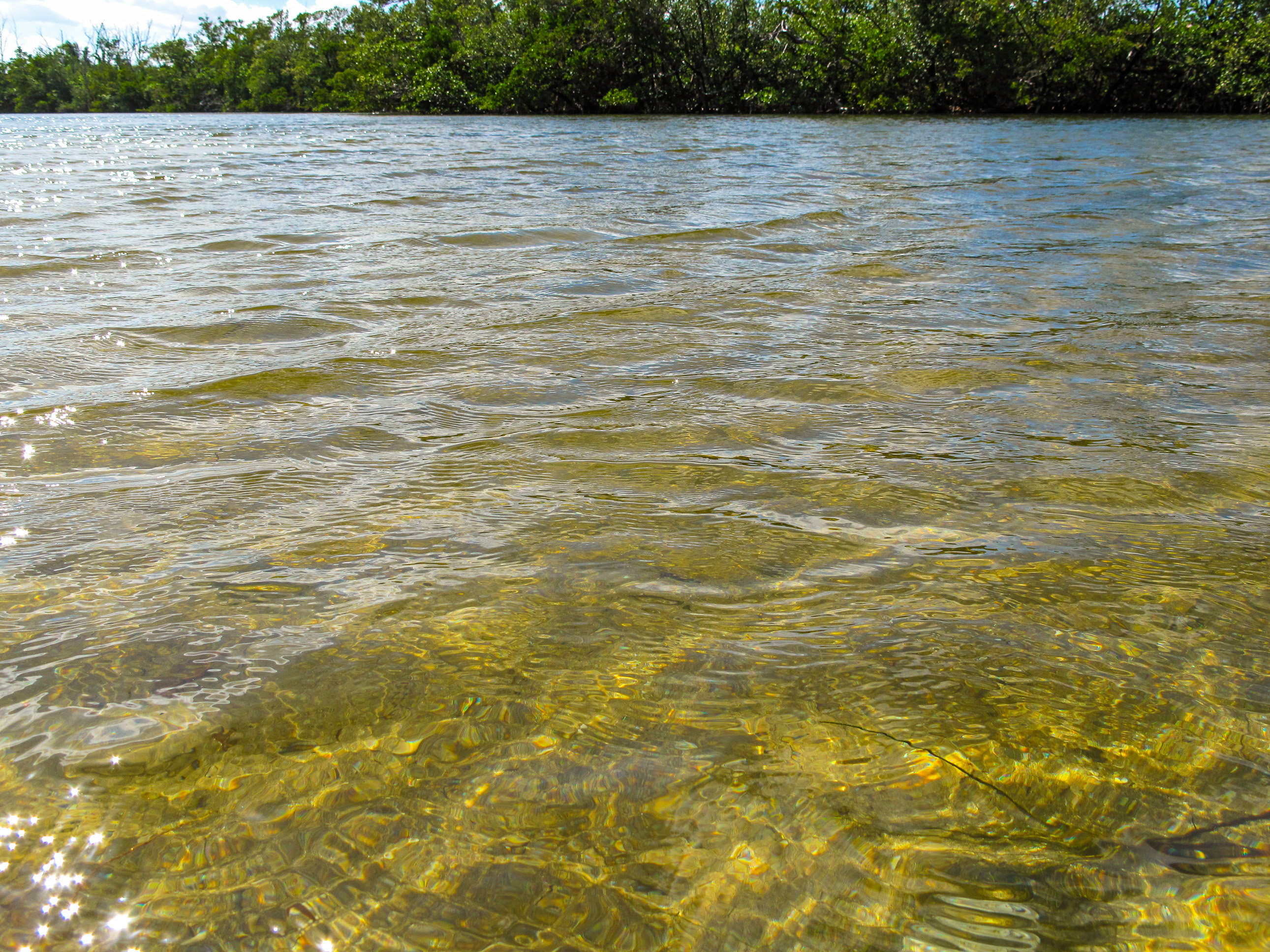
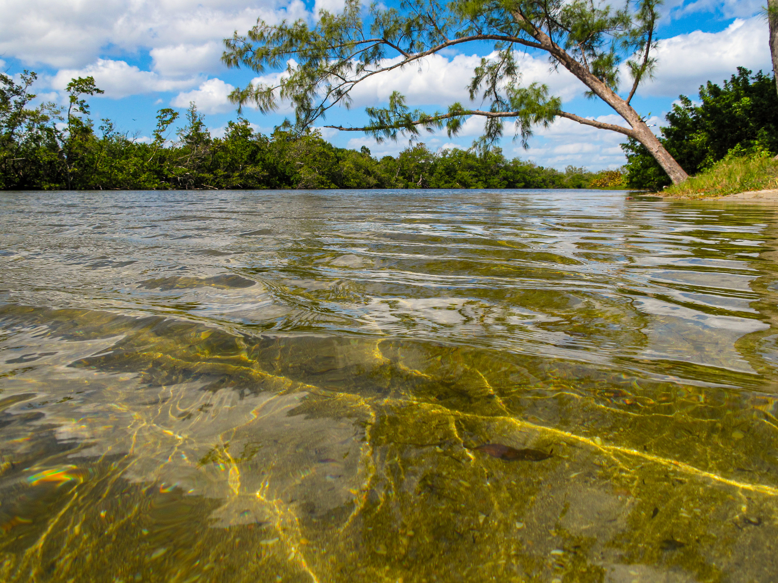
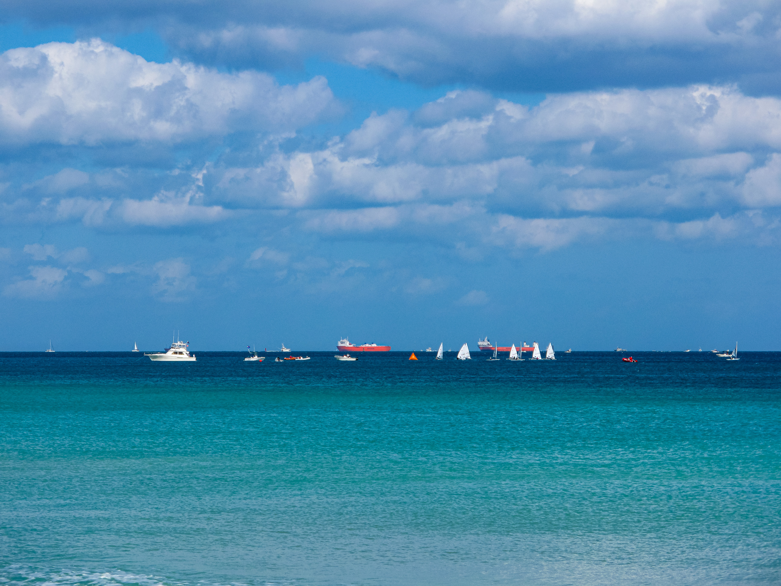
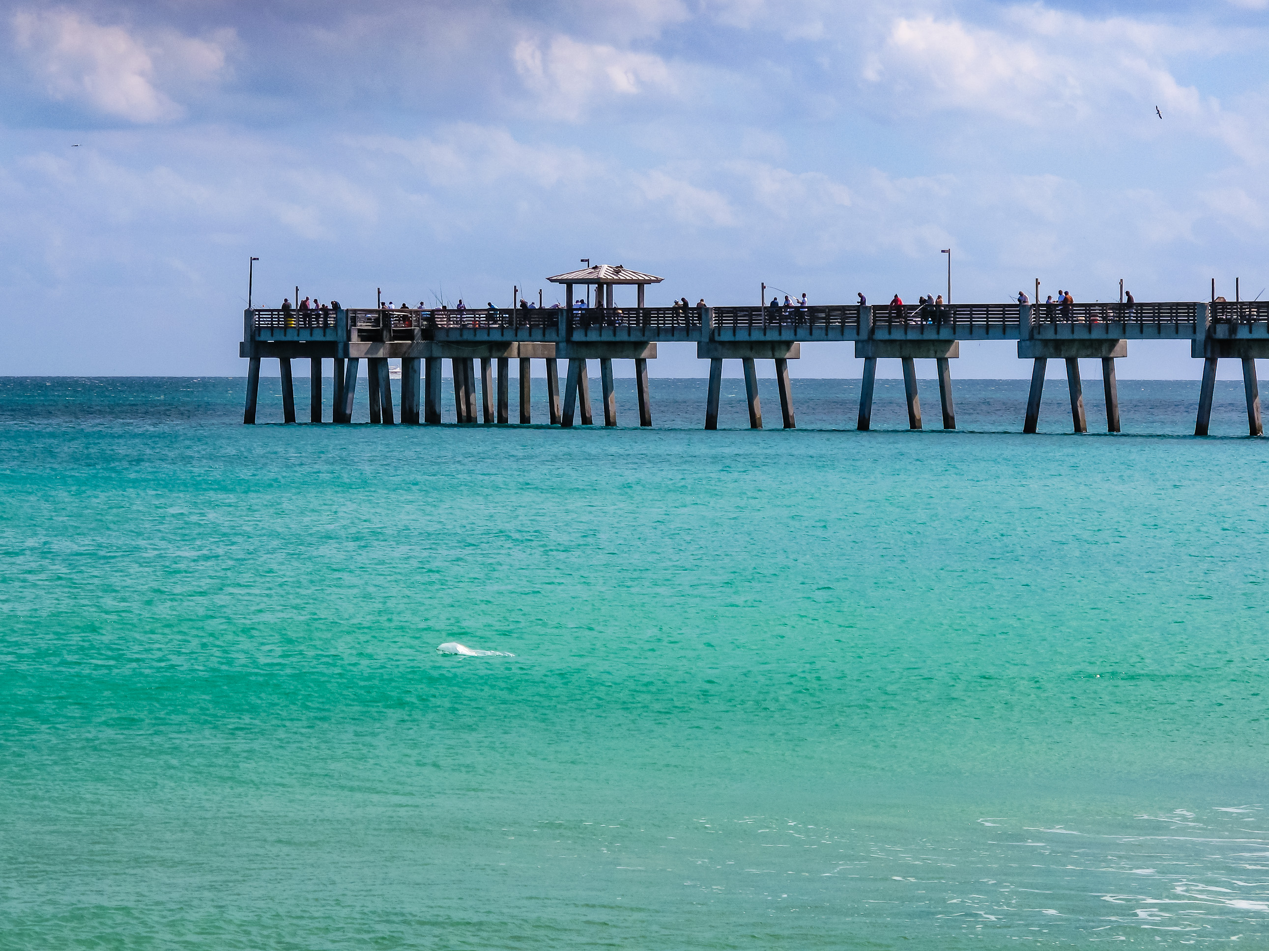
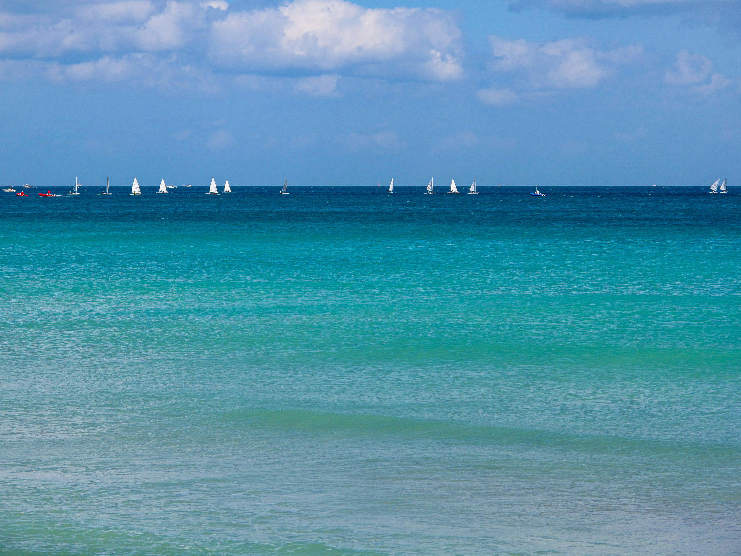
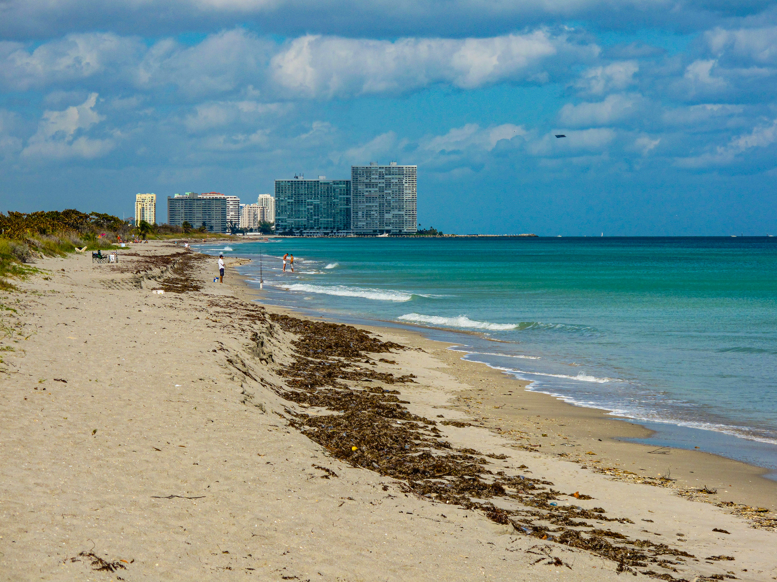
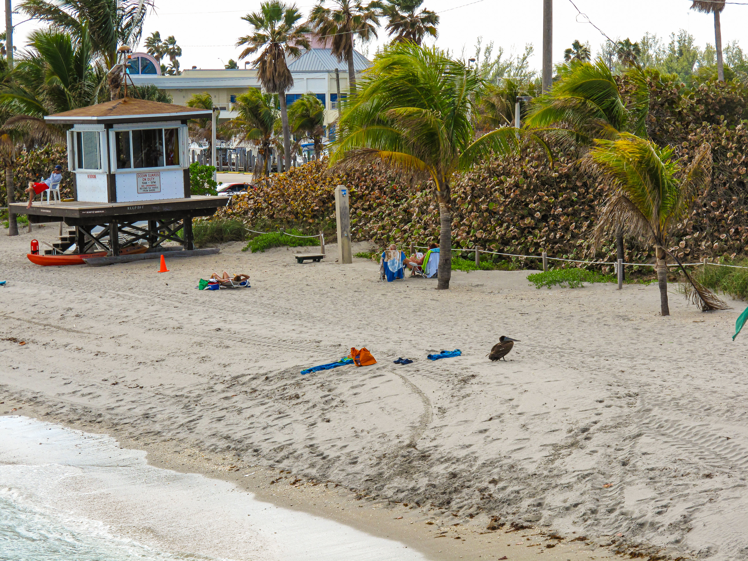
When we lived in Florida, we’d often choose to drive over to Dania Beach, because it was much less crowded than Hollywood or Ft. Lauderdale Beach. Sometimes you’d barely see someone else there and we loved that sort of quiet isolation. We’d set up our blanket and enjoy the sound of the gentle waves lapping the shore, the tropical breeze blowing through the palm fronds and mangrove leaves, punctuated by the occasional pelican calls or seagull caws. Sometimes we’d go there in the evenings and walk along the ocean shore, cooled by gusts of night wind coming in from the deeper waters.
Here is a gallery of 41 photographs I’ve taken there at various times. I included some images from the nearby Intracostal Waterway, too. I had many more of these photographs, but I experienced some data loss in recent years. Enjoy the ones I’ve still got! 🙂
Dania Beach, Florida
Dania Beach, Florida
Dania Beach, Florida
Dania Beach, Florida
Dania Beach, Florida
Dania Beach, Florida
Dania Beach, Florida
Dania Beach, Florida
Dania Beach, Florida
The sun sets below the sand dunes, Dania Beach, Florida
Dania Beach, Florida
Dania Beach, Florida
Dania Beach, Florida
Dania Beach, Florida
Dania Beach, Florida
Mangrove trees stretch toward the sky above the boardwalk, Dania Beach, Florida
Believe it or not, there’s a house behind the mangrove trees. It sits there, nested among the sand dunes and sheltered by the mangroves. I don’t care about the hurricanes, that’s the sort of beach living I could go for. Taken in Dania Beach, FL, USA.
A happy little wave jumps over itself as it meets the shore. Taken in Dania Beach, FL, USA.
The two tiny specs in the distance are two people, swimming on a bank in shallow water. Taken in Dania Beach, FL, USA.
Dania Beach, Florida
Dania Beach, Florida
Dania Beach, Florida
Dania Beach, Florida
A thin wave covers the shore in foamy sheet. Taken in Dania Beach, FL, USA.
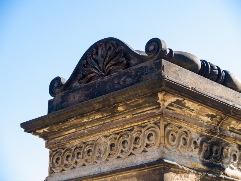
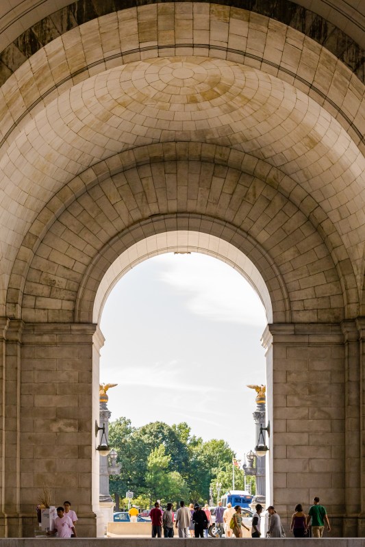
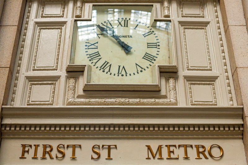
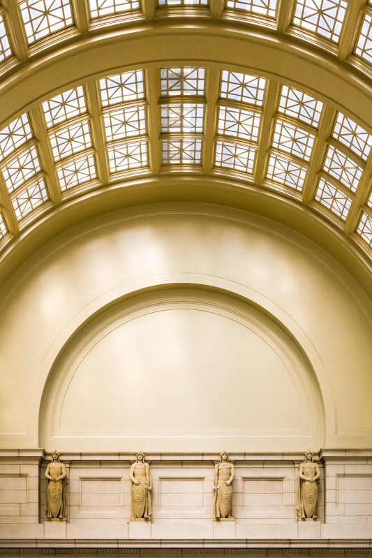
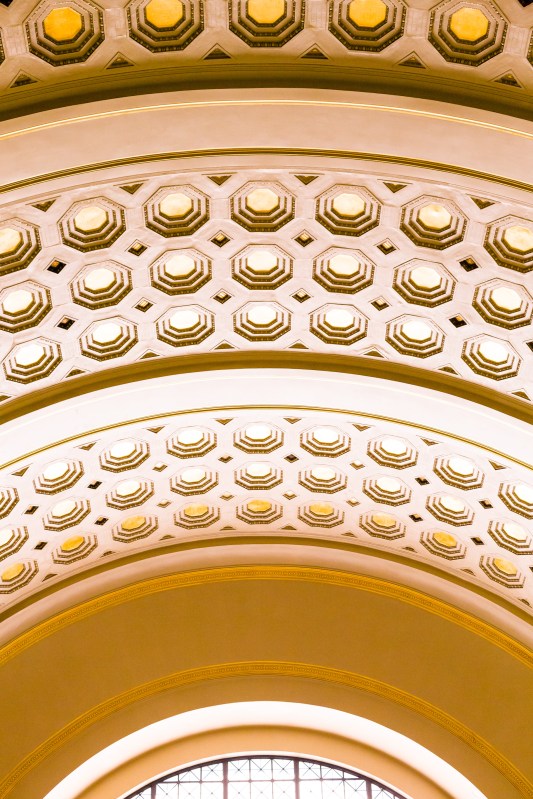
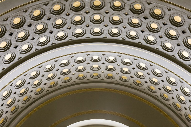
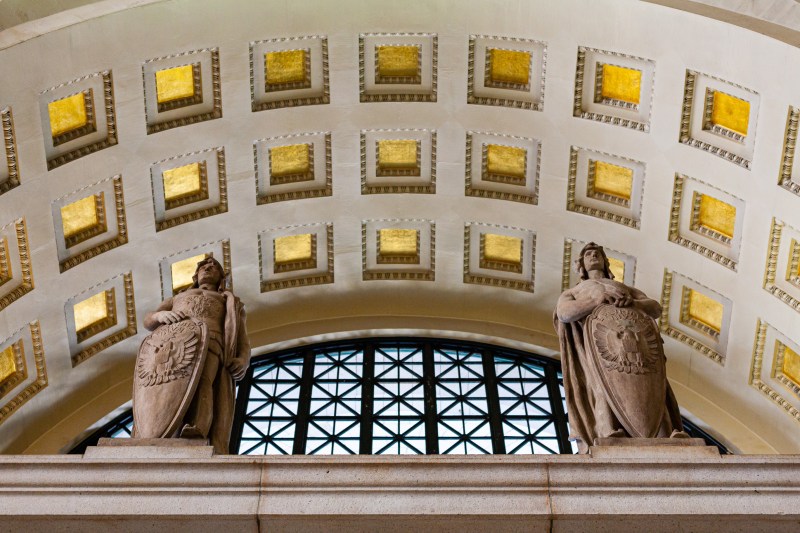
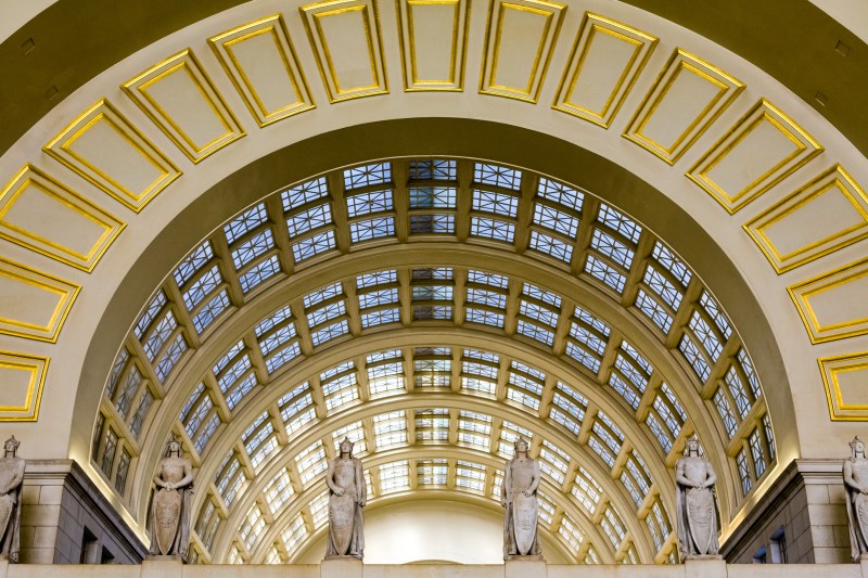
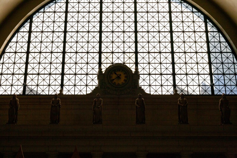
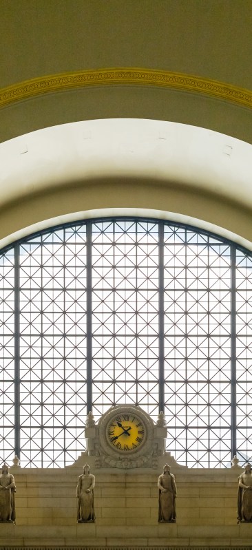
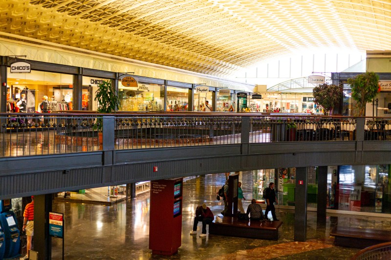
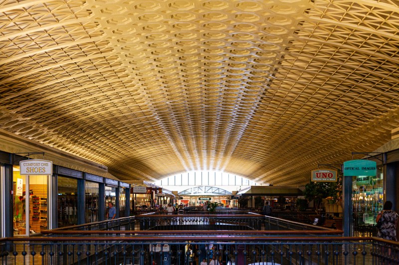
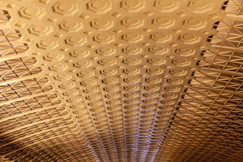
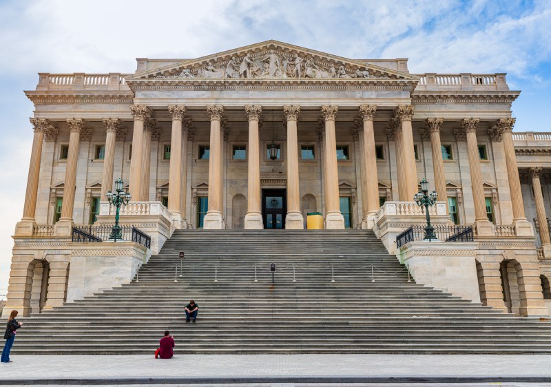
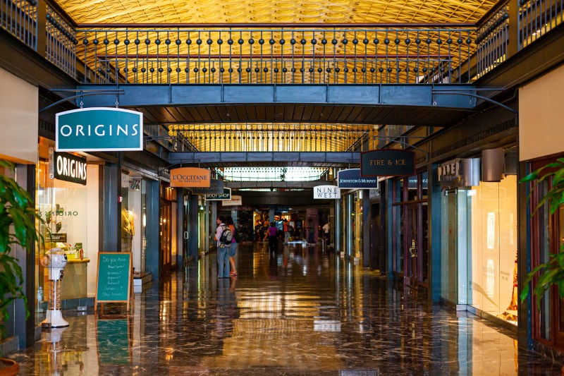
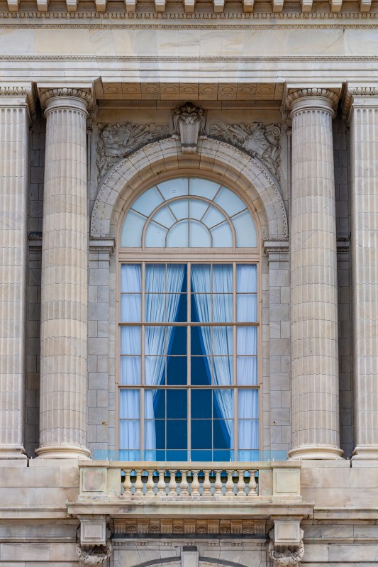
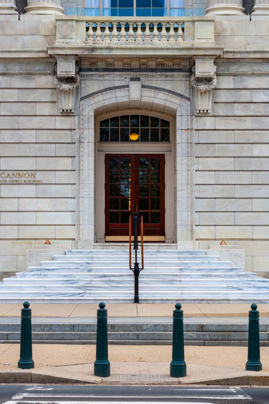
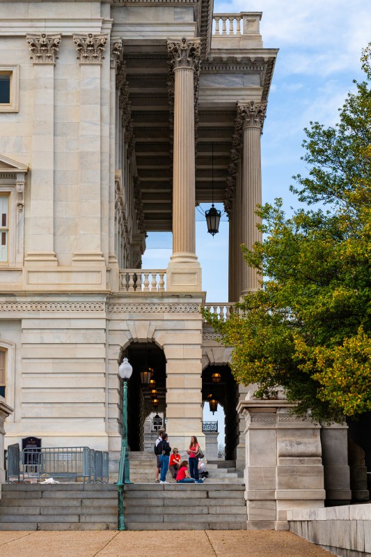
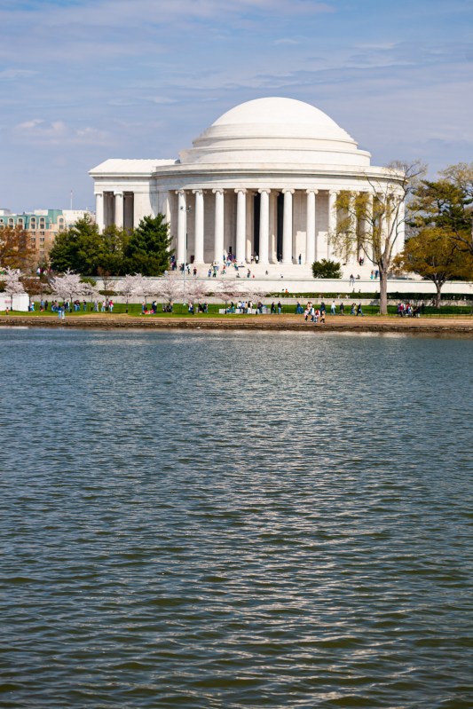
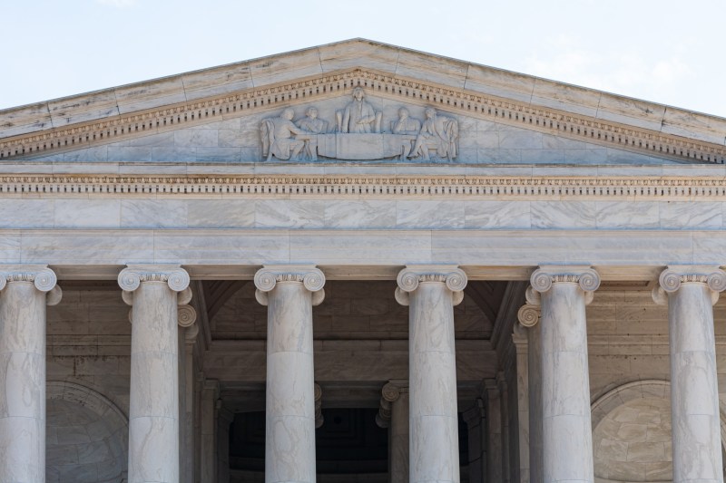
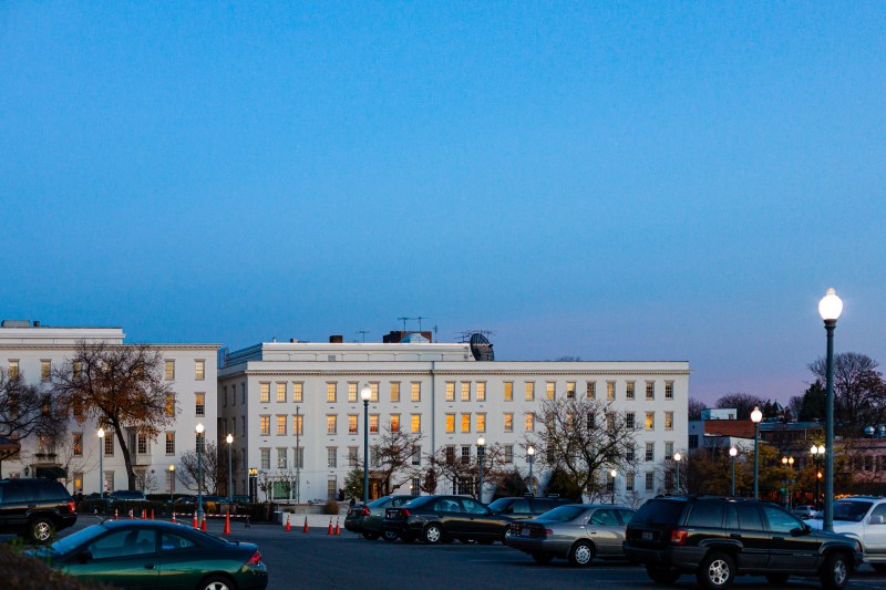
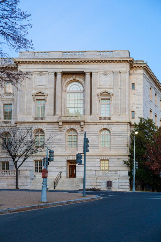
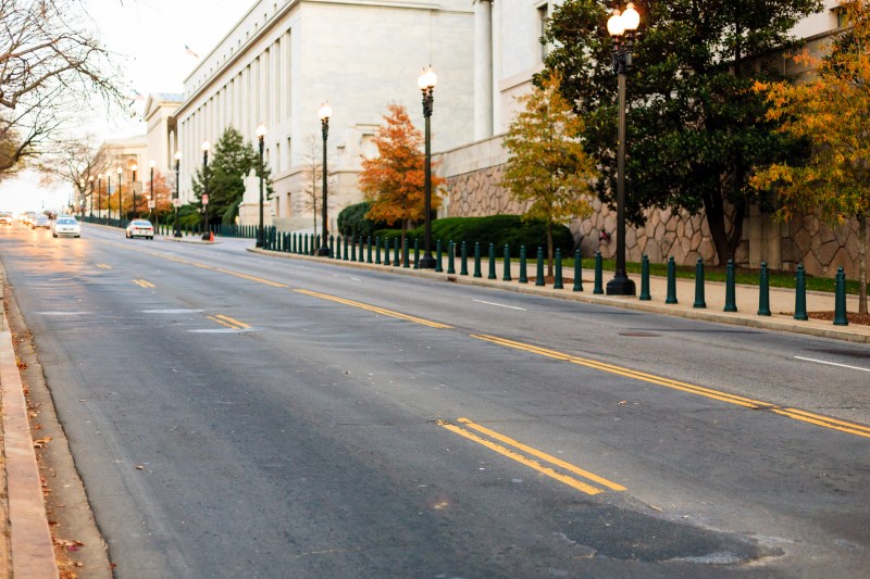
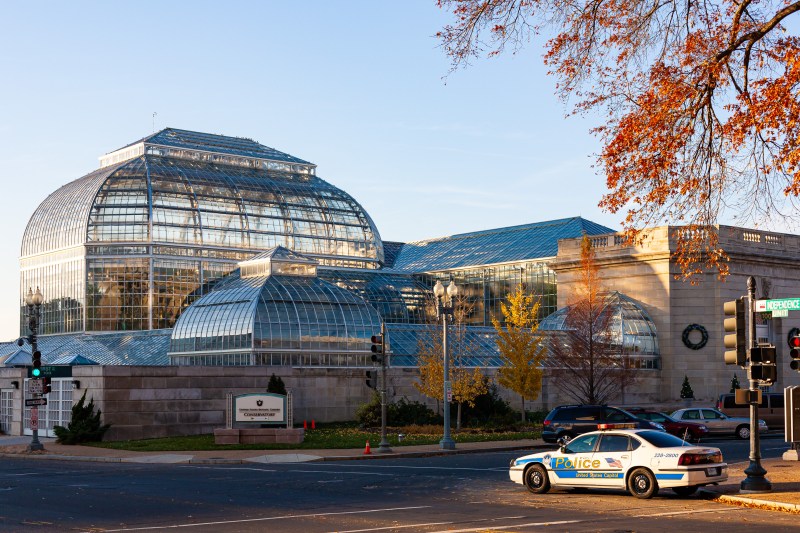
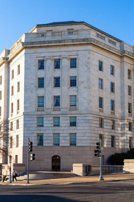
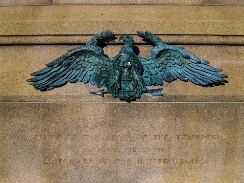
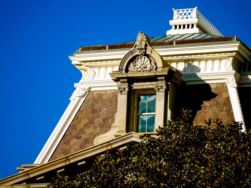
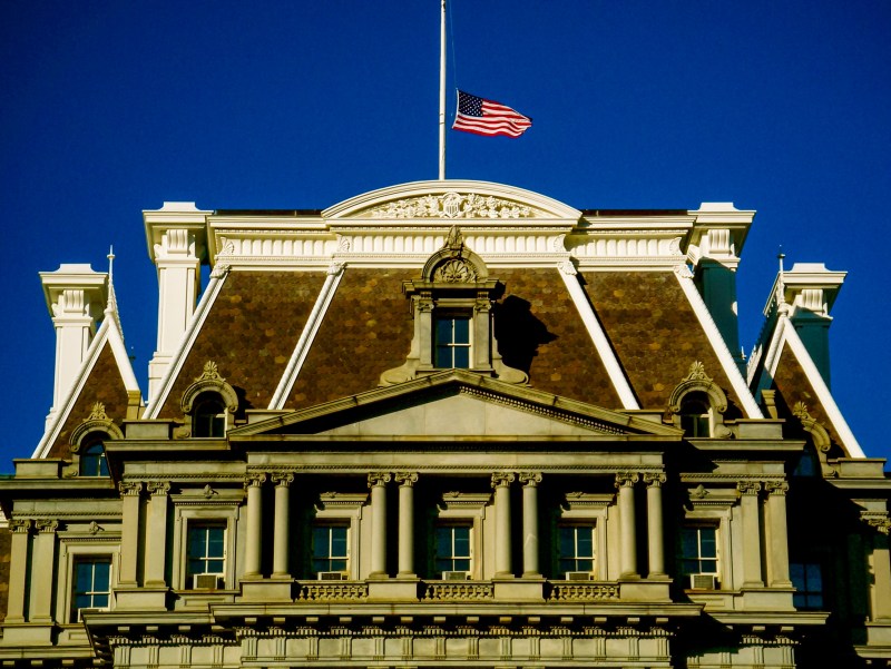
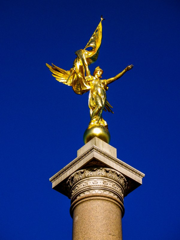
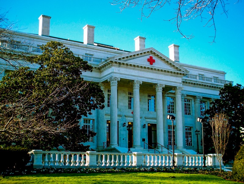
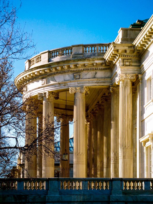
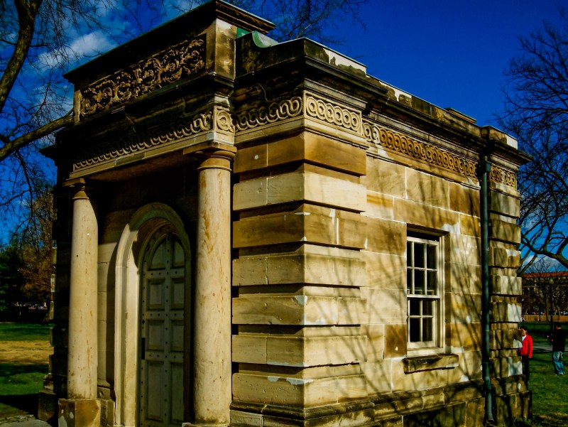
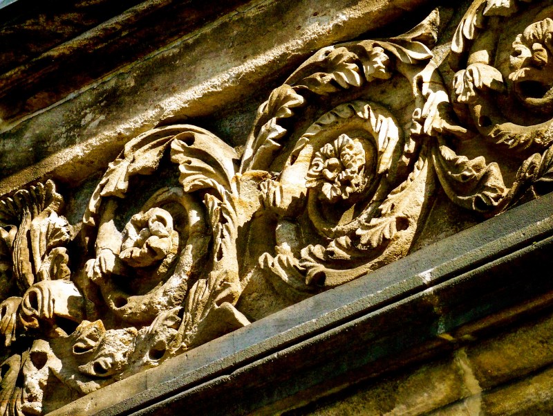
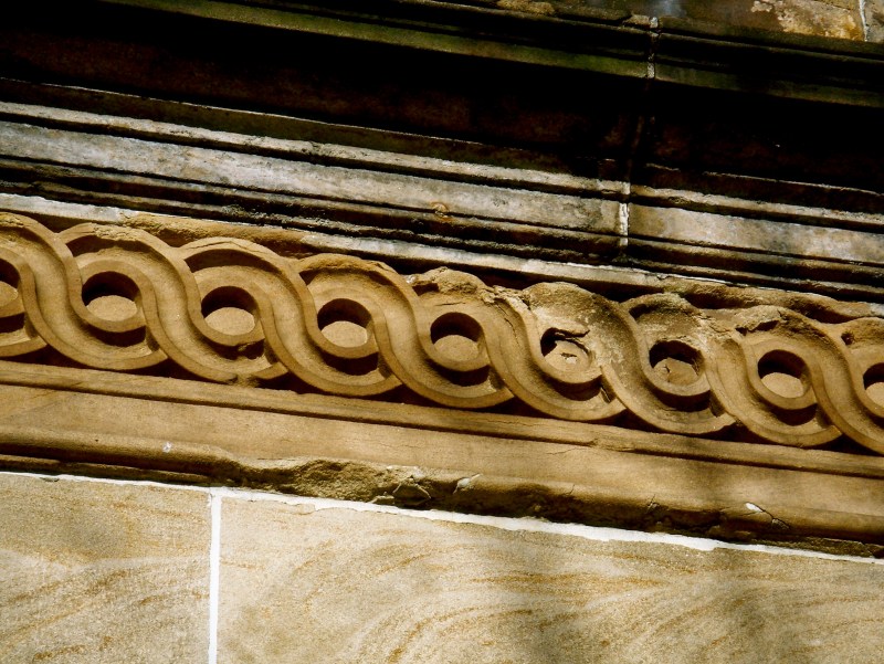
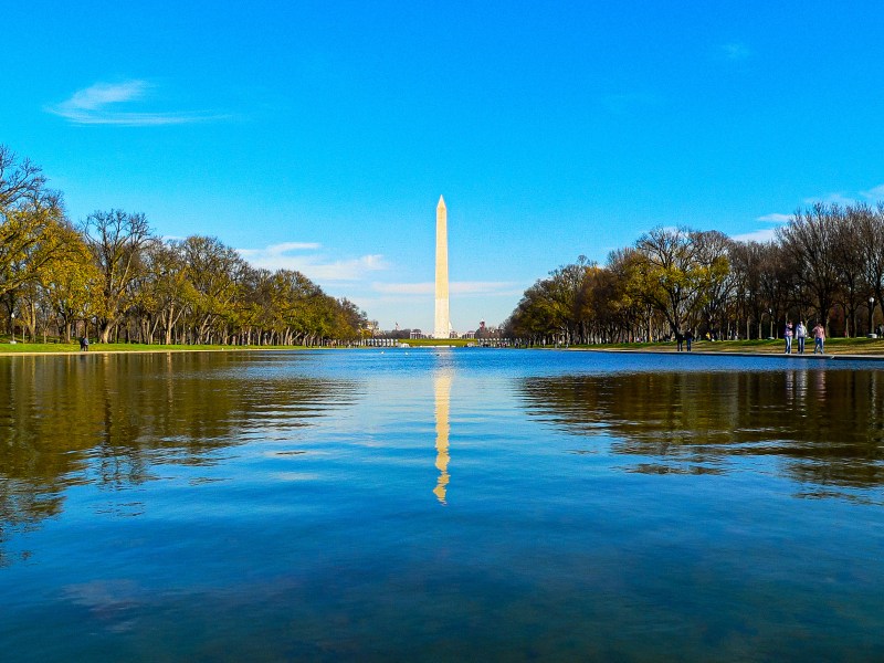
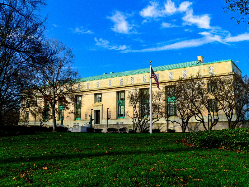
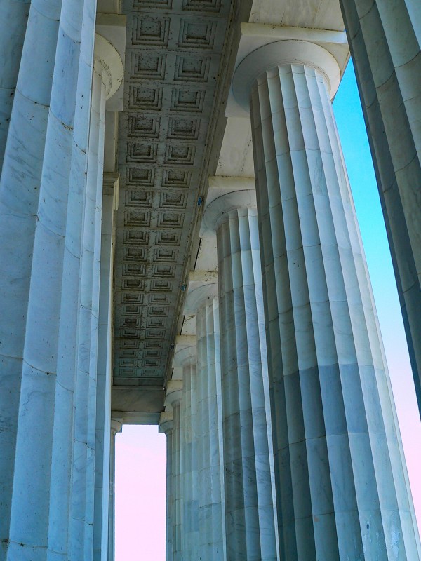
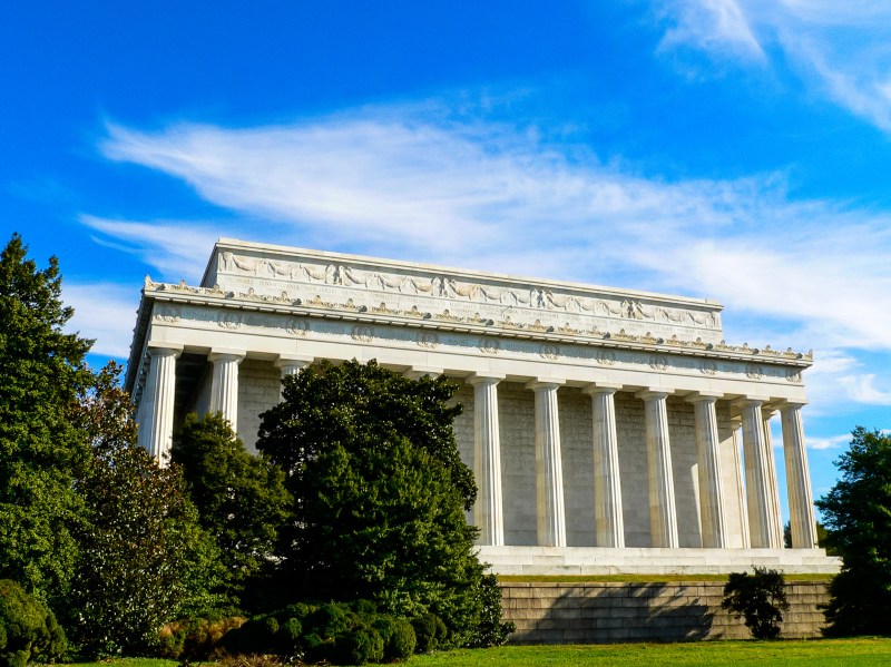
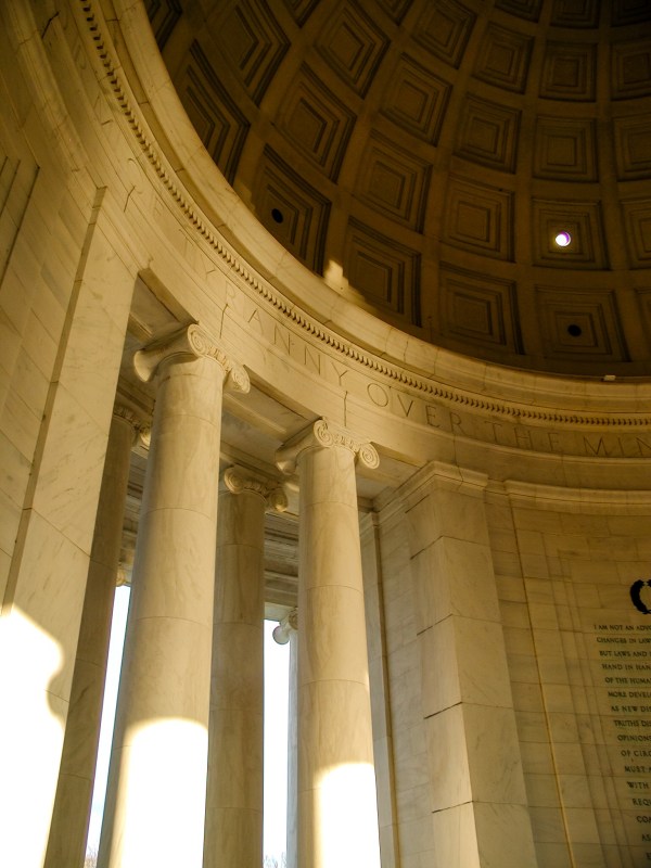
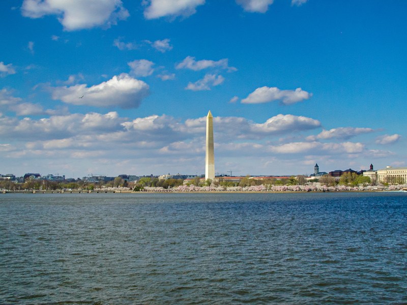
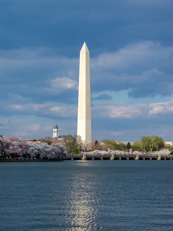
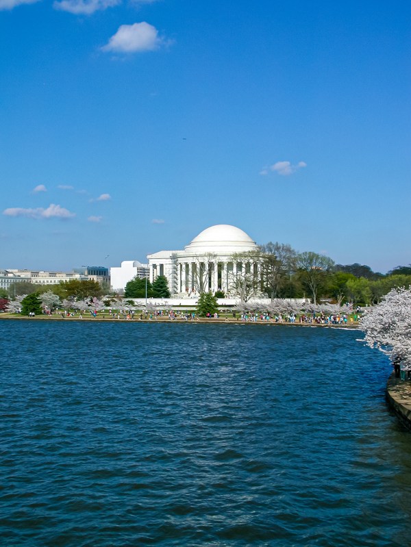
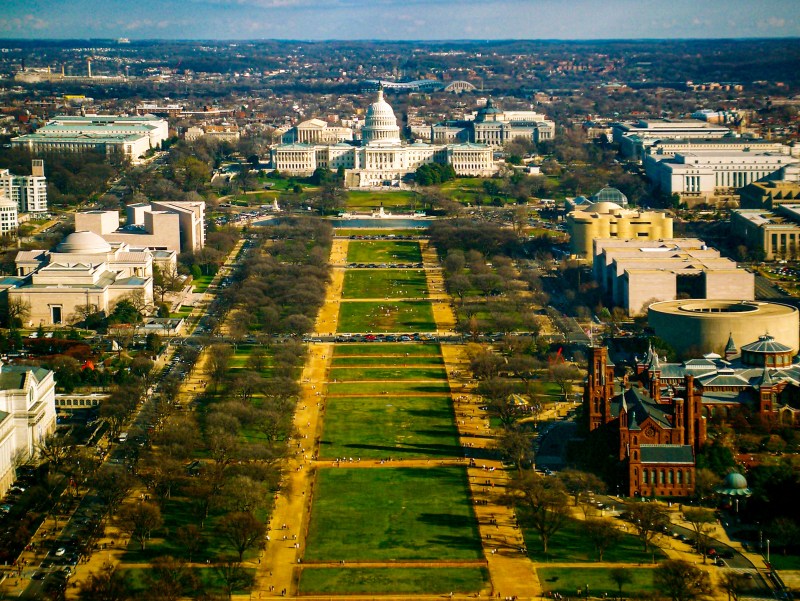
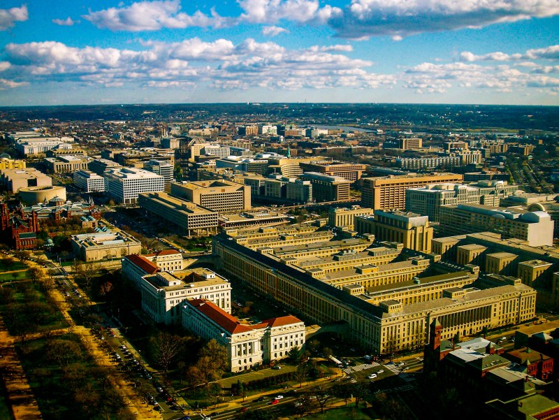
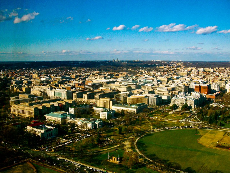
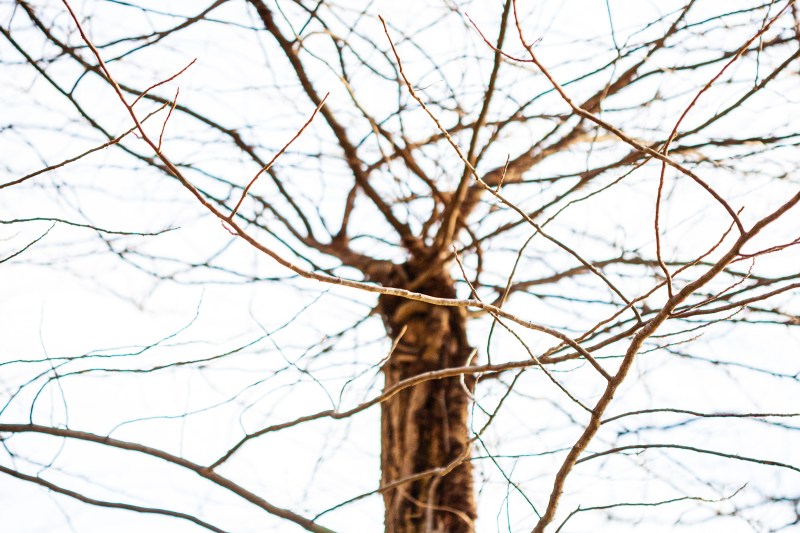
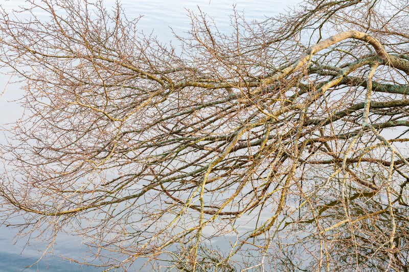
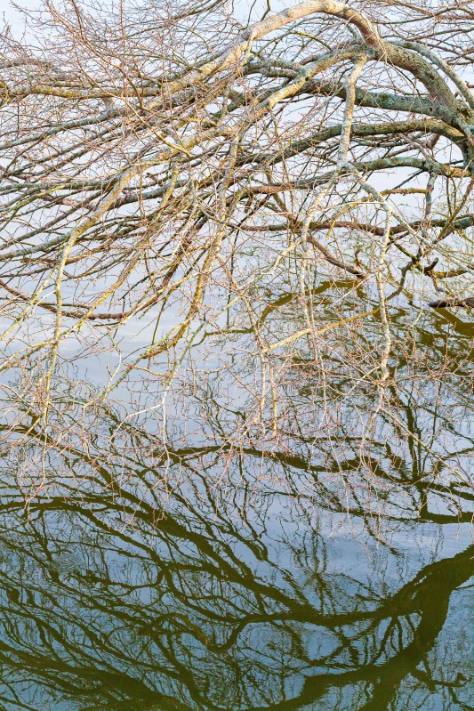
We lived in the DC area from 2003 to 2008 and we loved it, particularly the historic area of DC with all the old neoclassical buildings. Here is a gallery of photographs of some of those buildings, including a few from Union Station, which is not only a train station but also a connection to DC’s metrorail system.
Washington, DC
Union Station, Washington, DC
Union Station, Washington, DC
Union Station, Washington, DC
Washington, DC
Washington, DC
Washington, DC. This image is stitched together from 17 separate photographs and is almost 70 megapixels at full resolution.
Washington, DC
Washington, DC
Washington, DC
Washington, DC
Washington, DC
Washington, DC
Washington, DC
Washington, DC
Washington, DC. This image is stitched together from 40 separate photographs and is almost 100 megapixels at full resolution.
Washington, DC
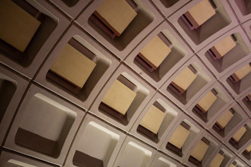
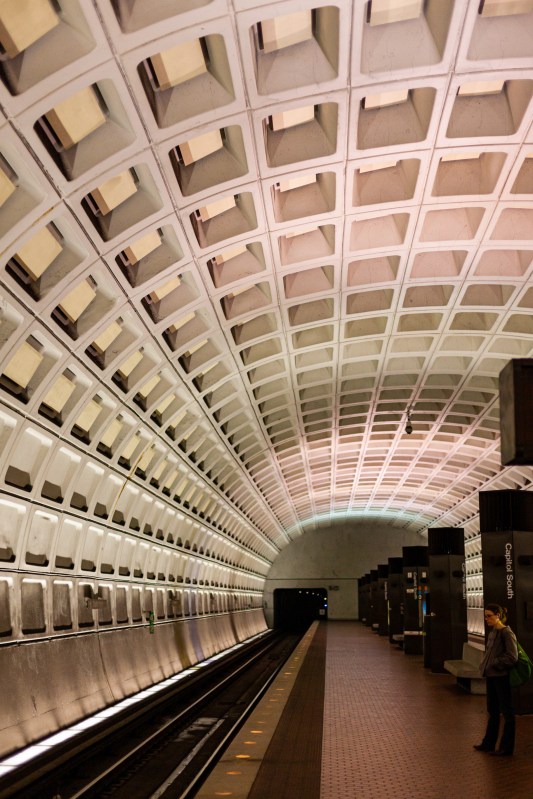
Metro station, Washington, DC
Washington, DC
Washington, DC
Washington, DC
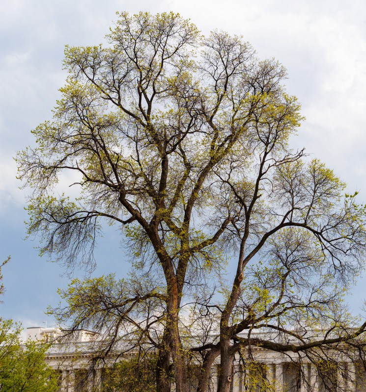
One of my favorite photos from Washington, DC. The fresh green leaves bursting out of their buds are the perfect sign of Spring.
Washington, DC
Washington, DC
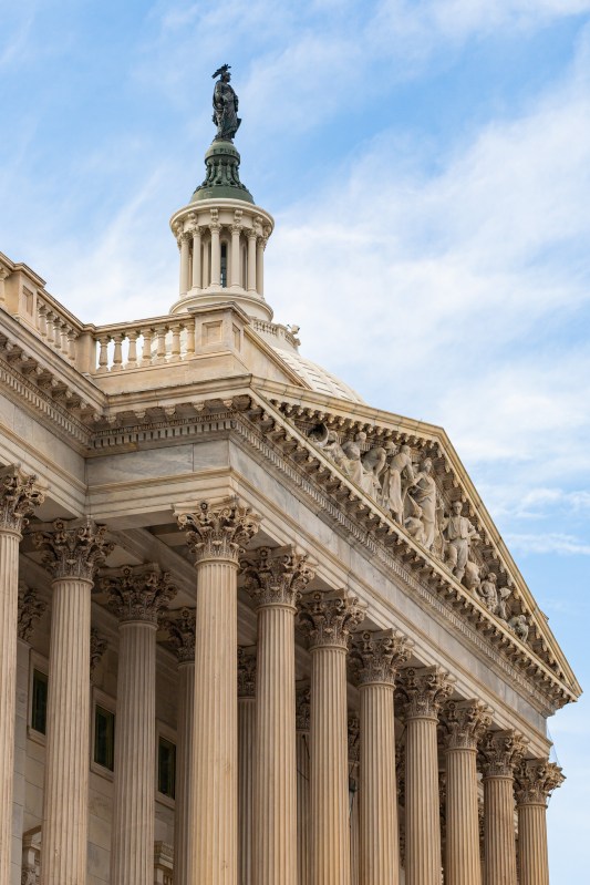
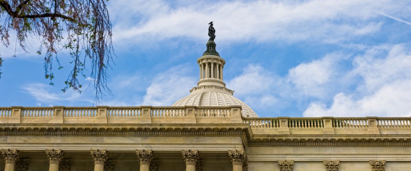
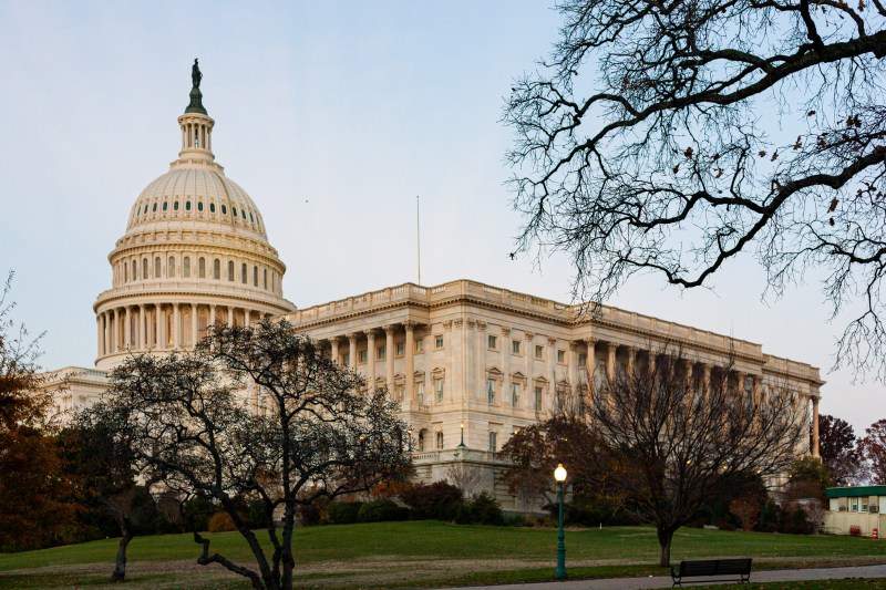
The top of the US Capitol Building, in downtown Washington, DC. Notice the statue of the Roman general on top of the cupola. It bears the likeness of George Washington.
Washington, DC
Washington, DC
Washington, DC
Washington, DC
Washington, DC
Washington, DC
Washington, DC
Washington, DC
Washington, DC
Washington, DC
Washington, DC
Washington, DC
Washington, DC
Washington, DC
Washington, DC
Washington, DC
Washington, DC
Washington, DC
Washington, DC
Washington, DC
Washington, DC
Washington, DC
Washington, DC
Washington, DC
Washington, DC
Washington, DC
Washington, DC
Washington, DC
Washington, DC
Washington, DC
Washington, DC
Washington, DC
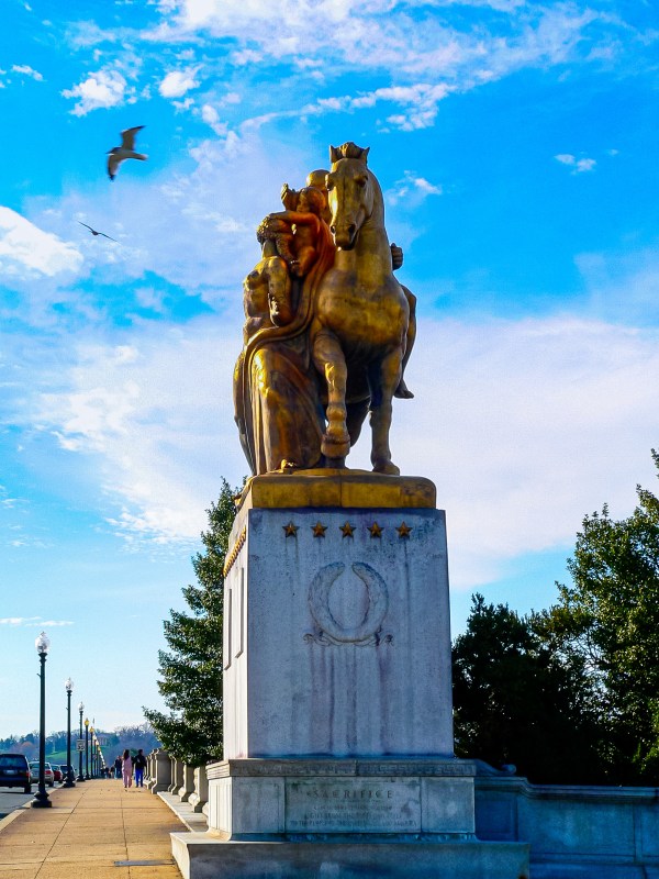
Monument on the Arlington Memorial Bridge, Washington, DC
Washington, DC
Washington, DC
Washington, DC
Washington, DC
Washington, DC
Washington, DC
Washington, DC
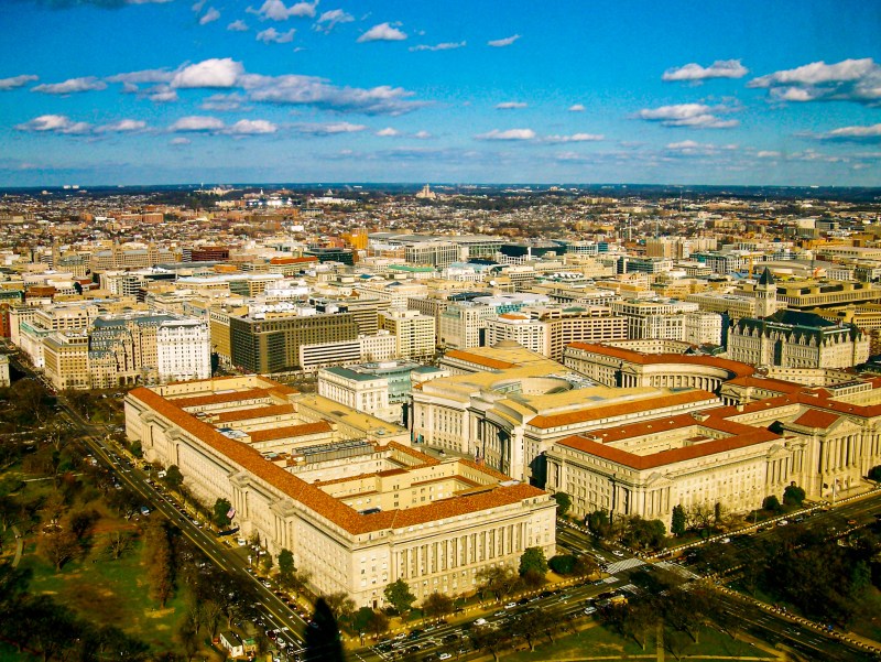
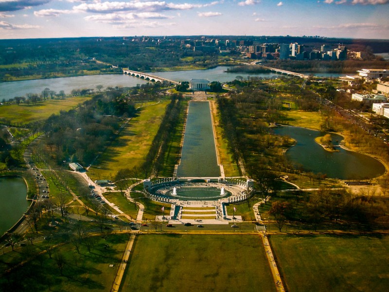
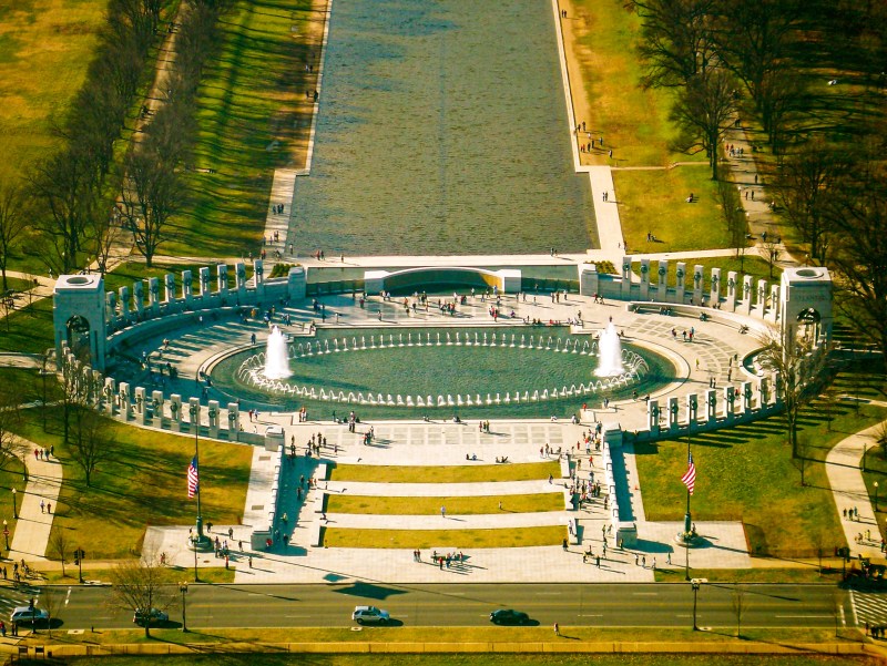
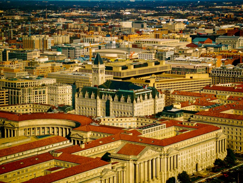
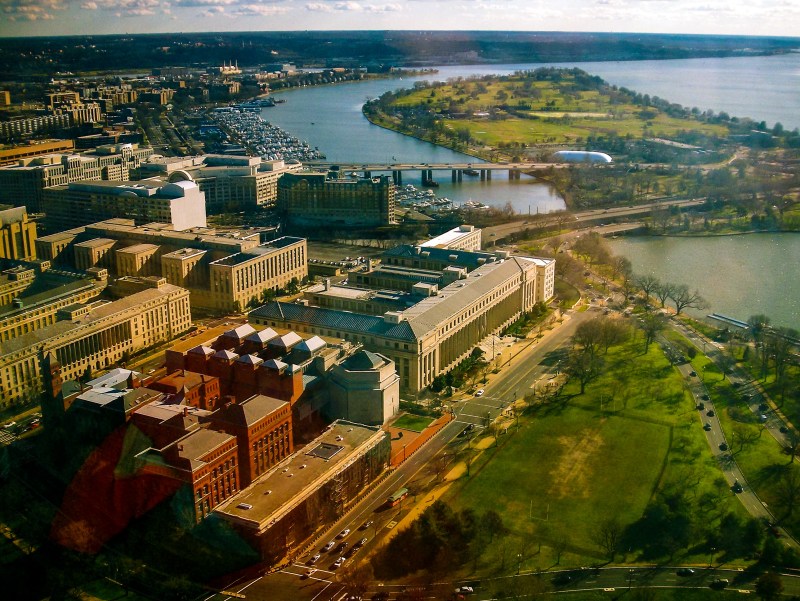
A panoramic image of downtown Washington, DC, taken from the top of the Washington Monument
A panoramic image of downtown Washington, DC, taken from the top of the Washington Monument
A panoramic image of downtown Washington, DC, taken from the top of the Washington Monument
A panoramic image of downtown Washington, DC, taken from the top of the Washington Monument
A panoramic image of downtown Washington, DC, taken from the top of the Washington Monument
A panoramic image of downtown Washington, DC, taken from the top of the Washington Monument
A panoramic image of downtown Washington, DC, taken from the top of the Washington Monument
A panoramic image of downtown Washington, DC, taken from the top of the Washington Monument
A panoramic image of downtown Washington, DC, taken from the top of the Washington Monument
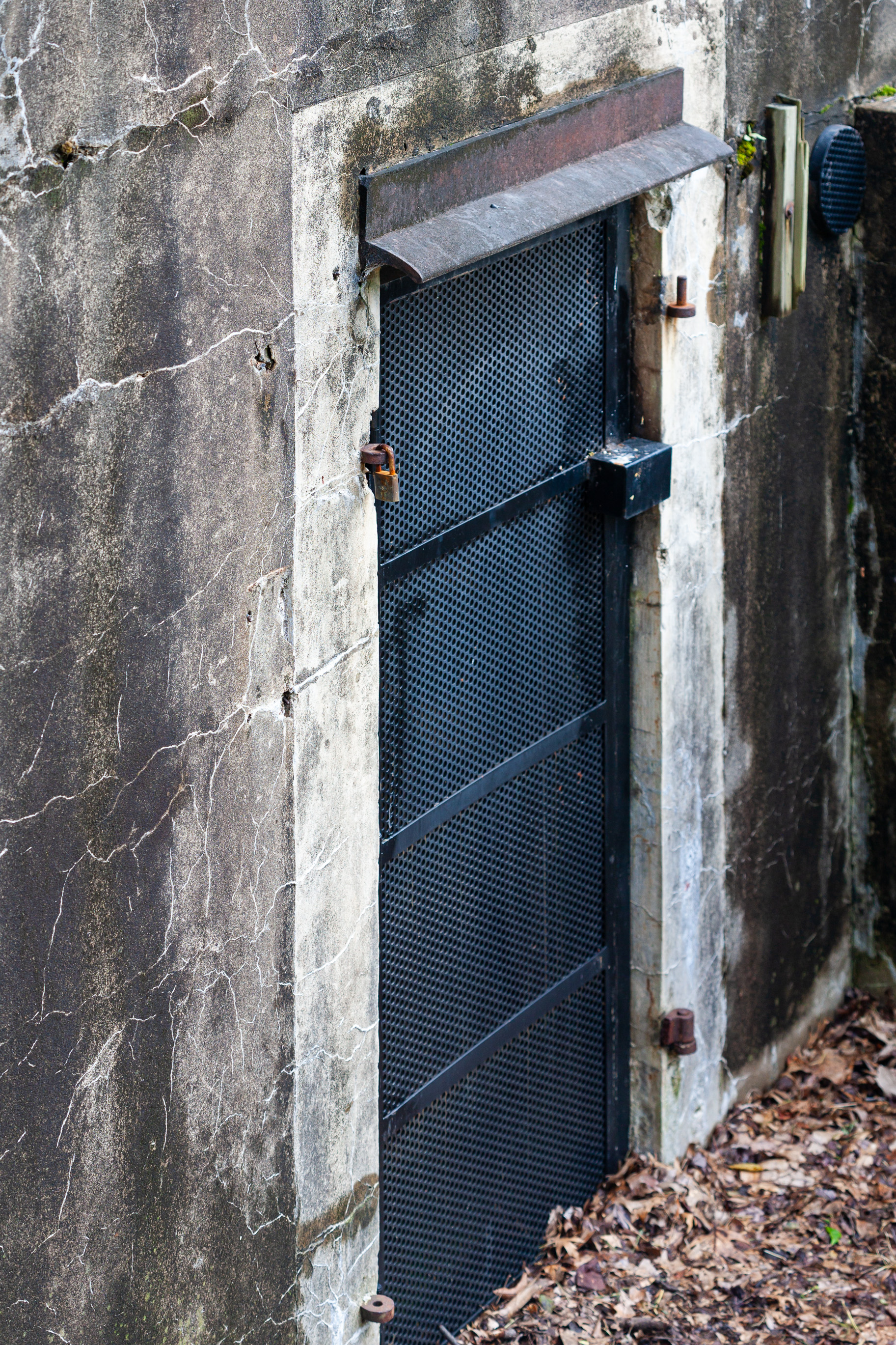
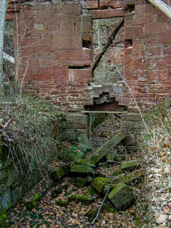
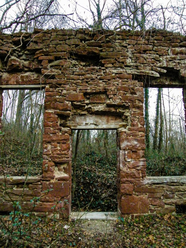
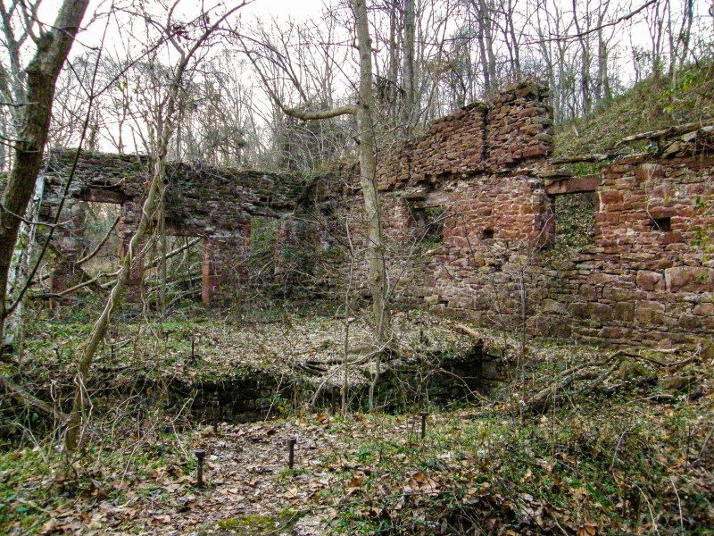
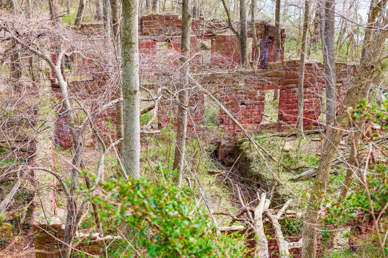
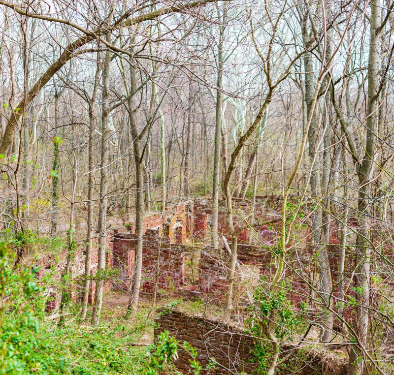
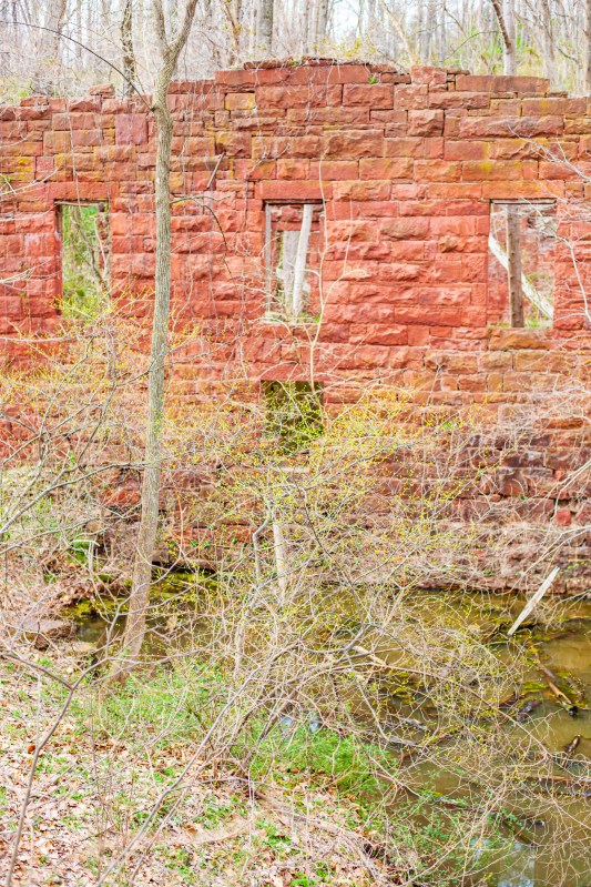
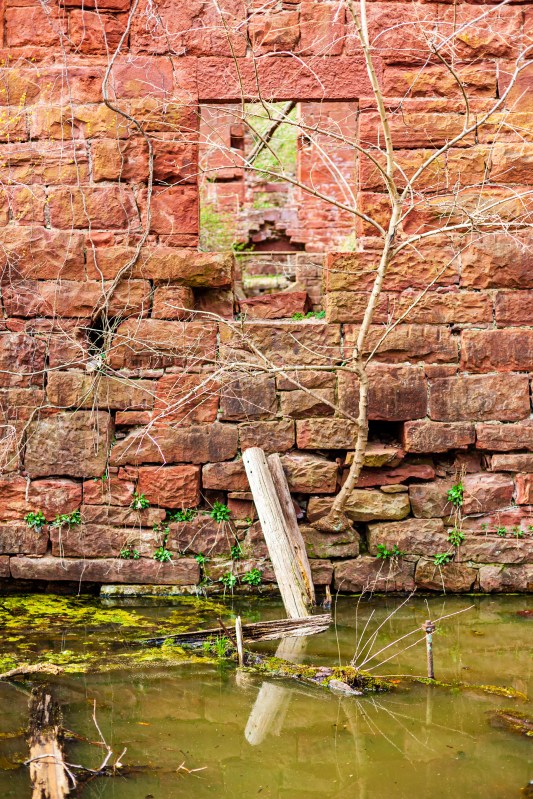
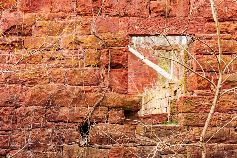
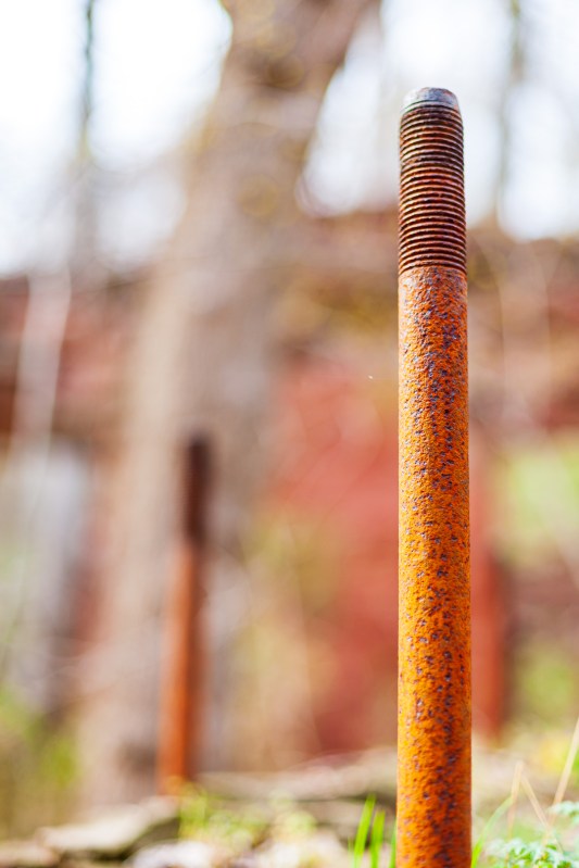
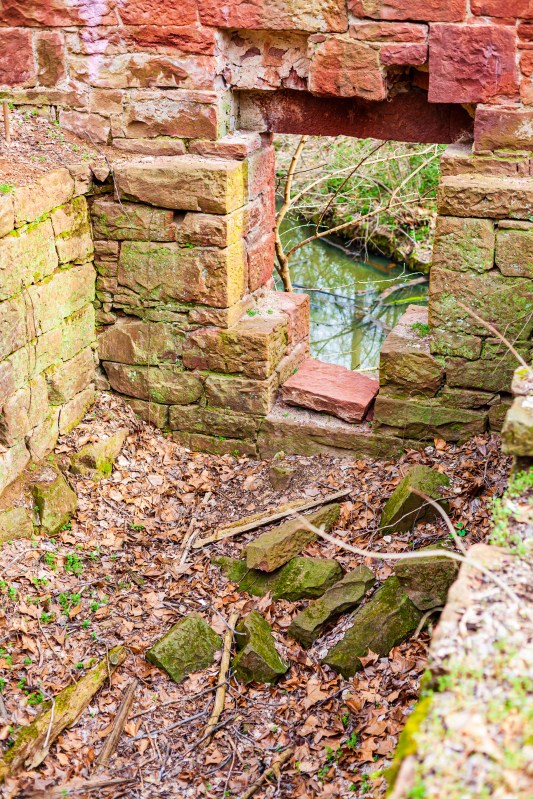
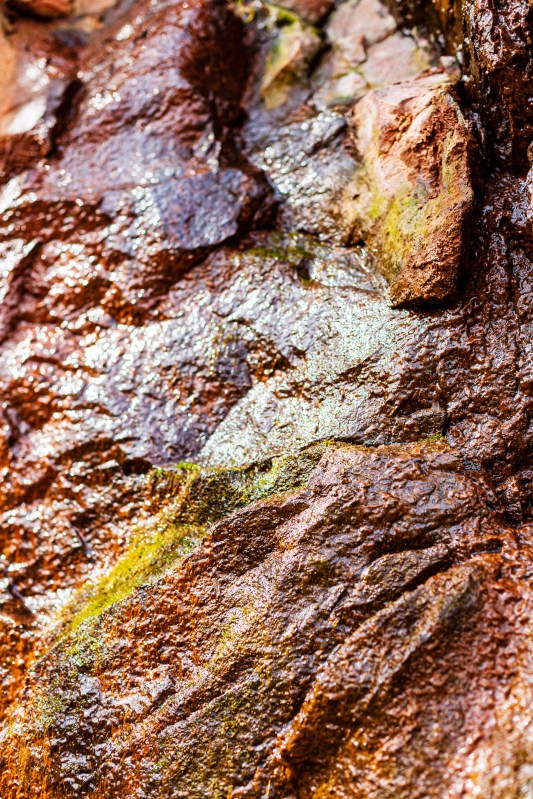
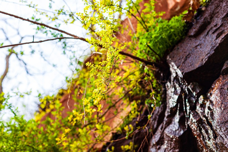
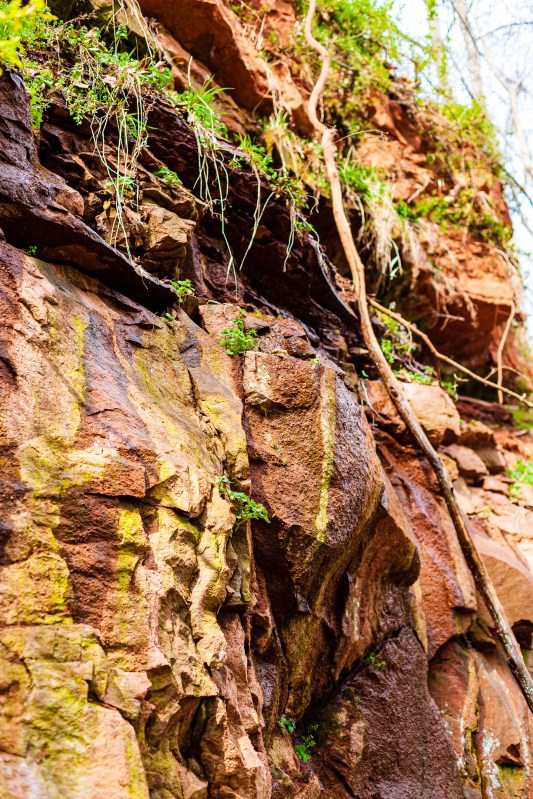
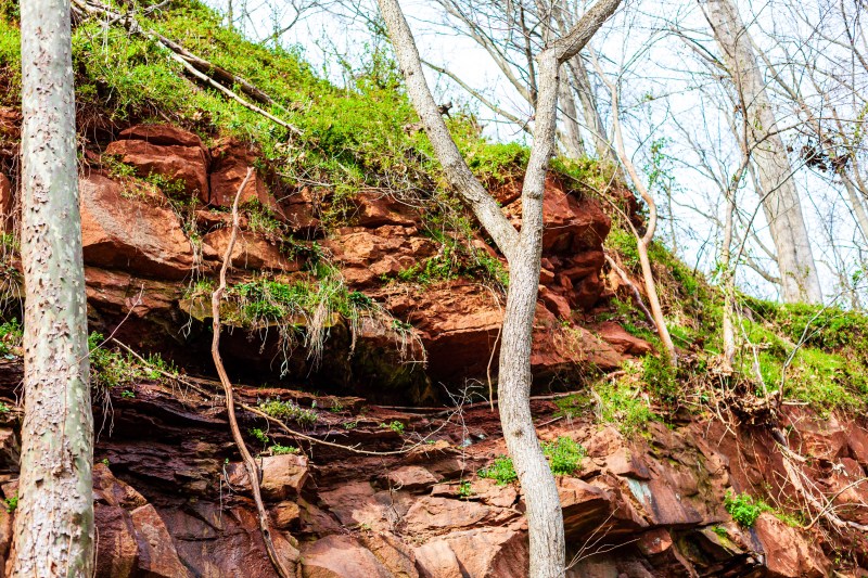
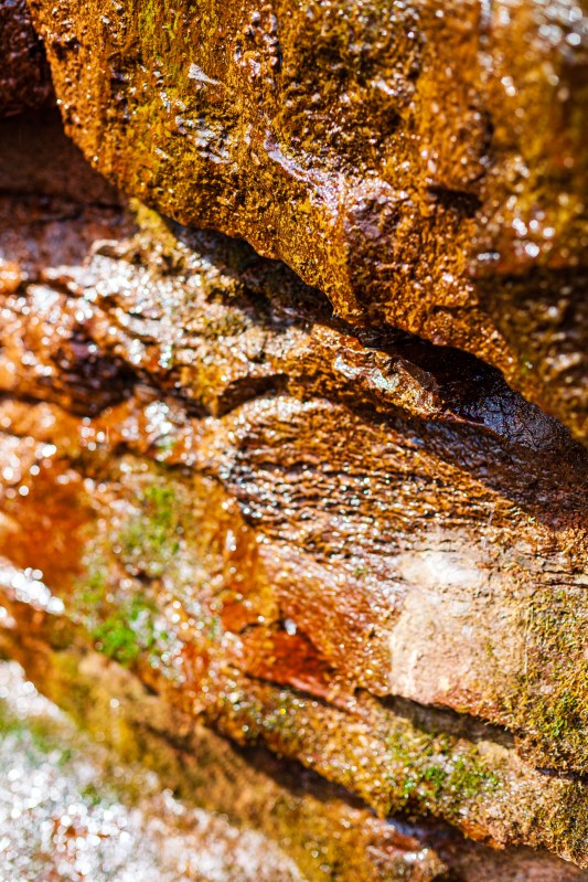
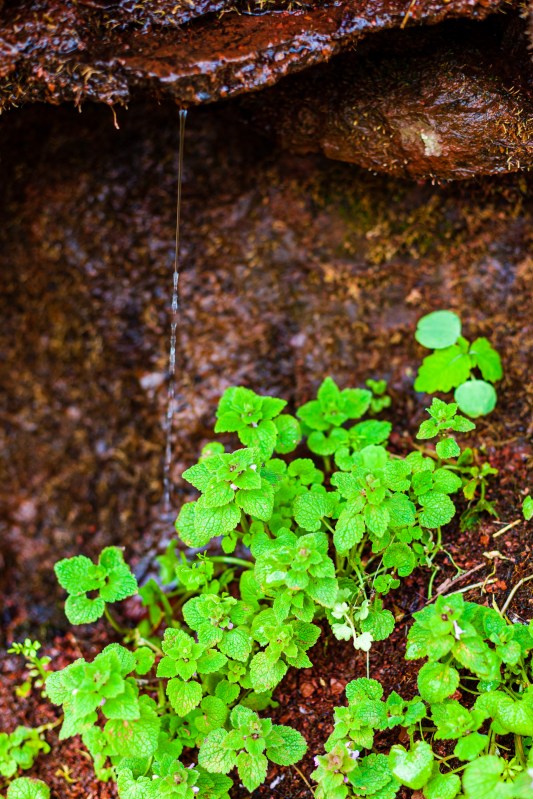
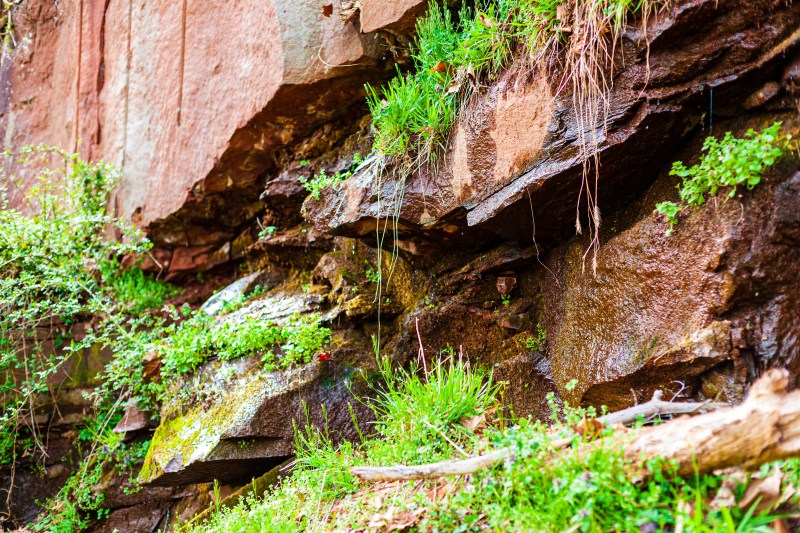
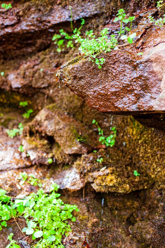
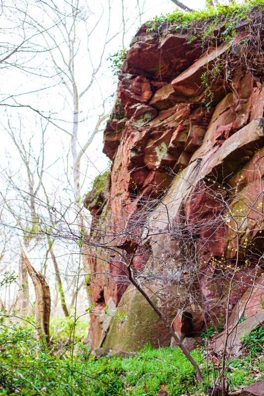
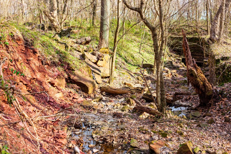
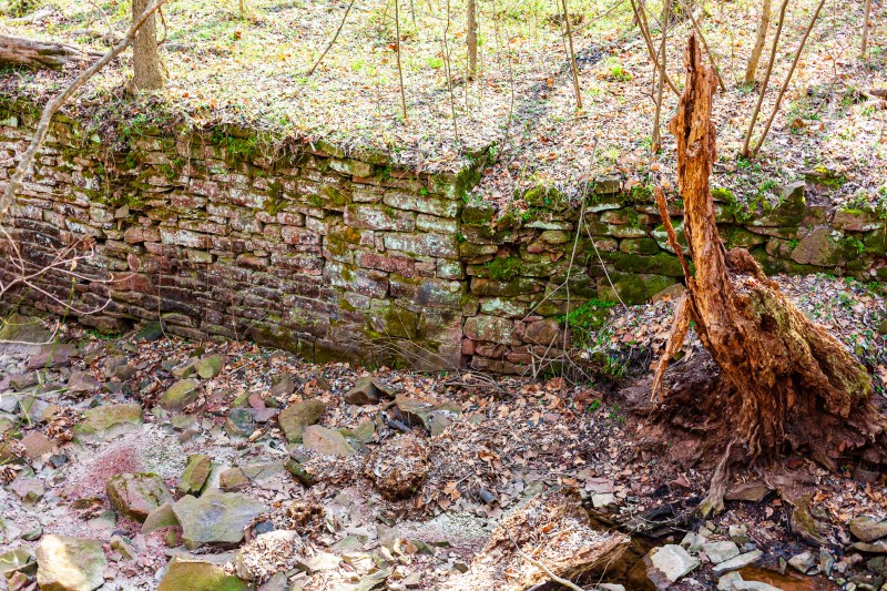
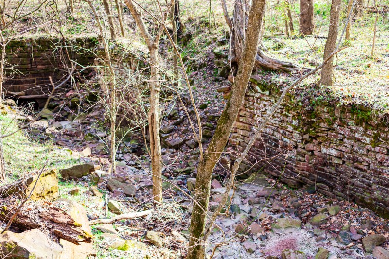
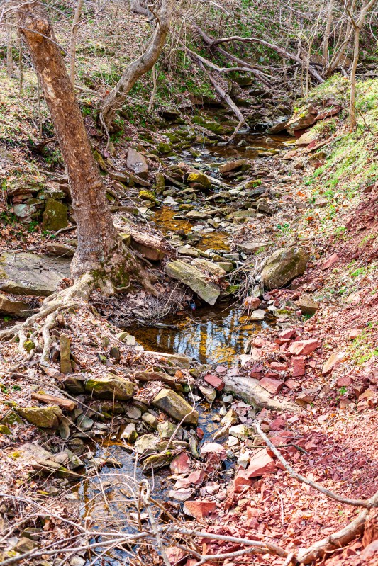
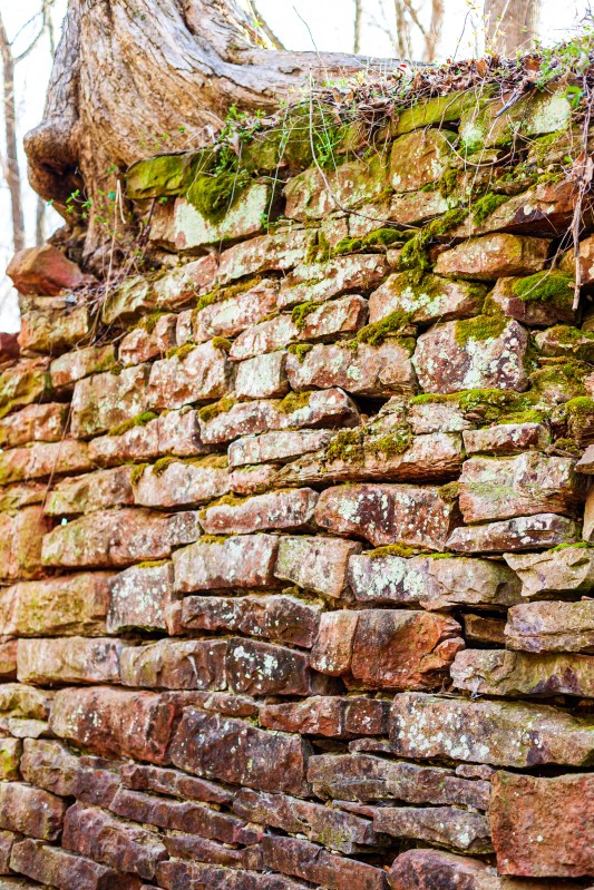
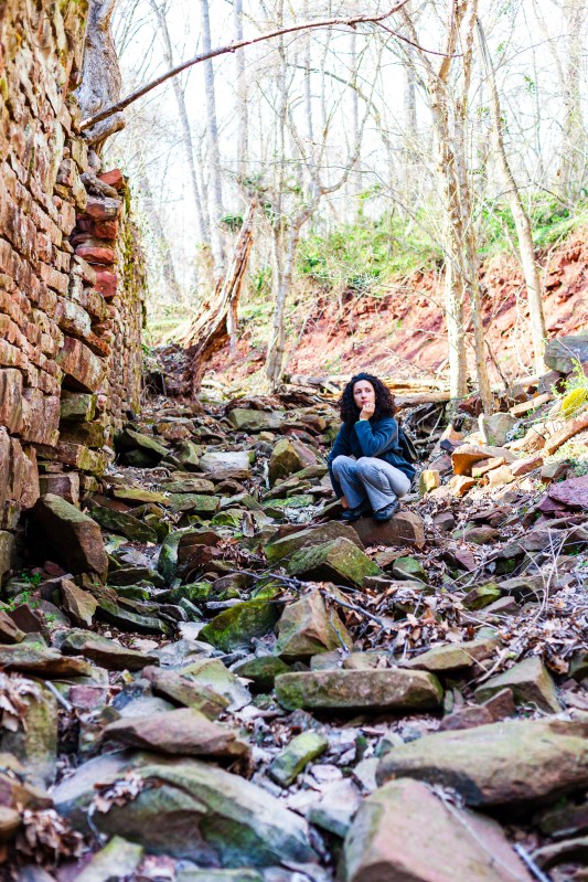
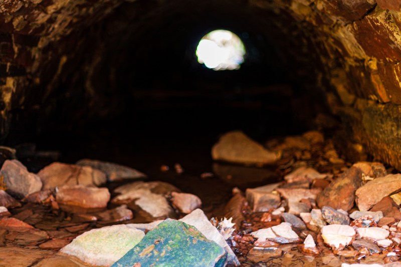
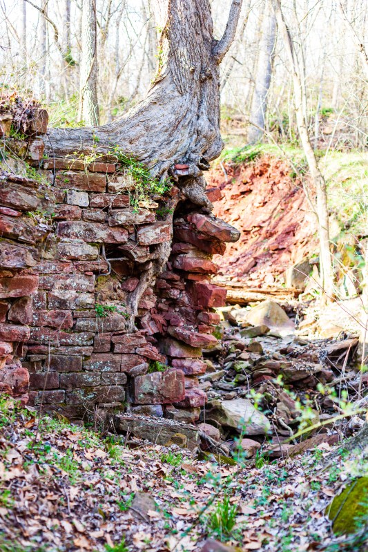
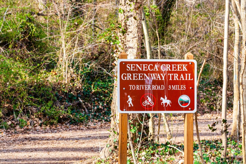
Should you find yourself hiking the Seneca Creek Greenway Trail, you’ll find the remains of a red stone building somewhere near Riley’s Lock, between the C&O Canal and the Potomac River. These ruins are what used to be the Seneca Stone-Cutting Mill, a quarry that operated on and off from 1837 to 1901. The quarry’s good years were from 1837 to 1876, particularly 1837 to 1848, according to this source. The tract of land on which the quarry was located was sold to the State of Maryland in 1972 and it became part of the Seneca Creek State Park.
The remains that can be seen now give little indication of what once was, or how the mill operated, but thankfully some of this information has been preserved on the site linked above. I’ll quote from it here:
A large rough piece of sandstone was place on a little car and brought into the mill. It was placed under the saw blade which was then lowered onto the stone. The blade went back and forth just like people sawing wood. When a piece of stone was sawed off, they took the remaining stone back outside the mill, turned it over, put it back on the car, and brought it back into the mill to saw that side off. If they wanted all sides sawed, they’d repeat the process until they sawed it square. To polish the stone, they would place it on a big round wheel which turned underneath the stone. Water and sand were poured on the wheel to grind the sandstone smooth. It was called a planing wheel… [An] 1882 auction described the property as a large Stone Mill, with the necessary machinery for twenty gangs of saws: a Second Mill with the machinery for four gangs of saws. The saws cut thru the sandstone at the rate of about one inch an hour. Water was dripped onto the saws to lubricate the blades. Perhaps the trough also collected the water and channeled it outside the mill.
Seneca Creek Greenway Trail Website
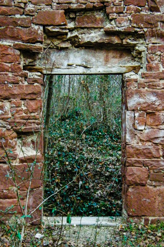
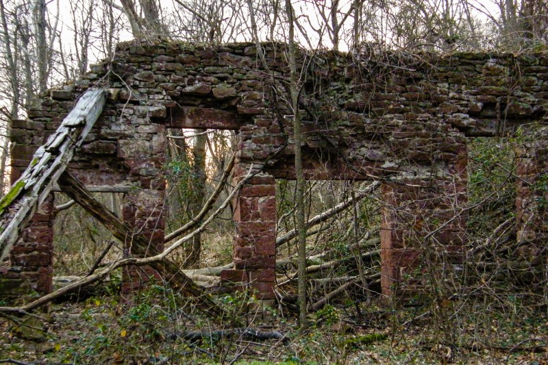
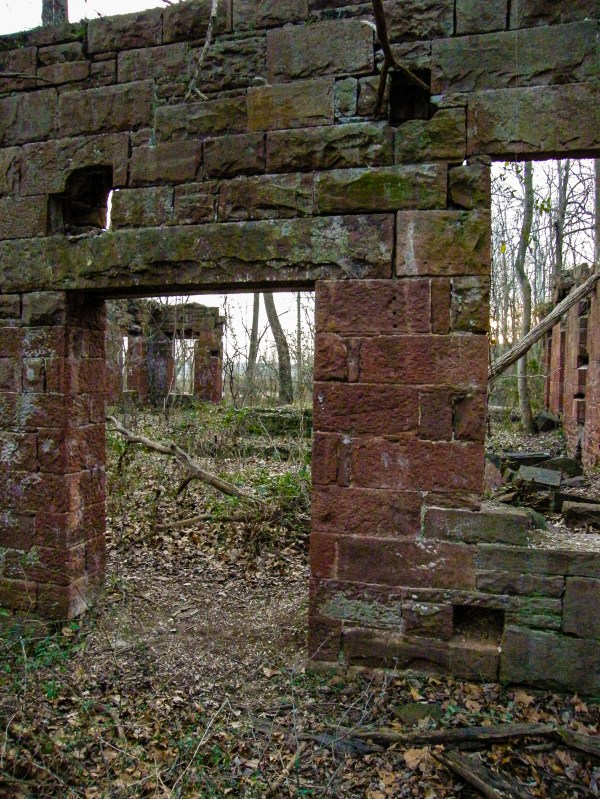
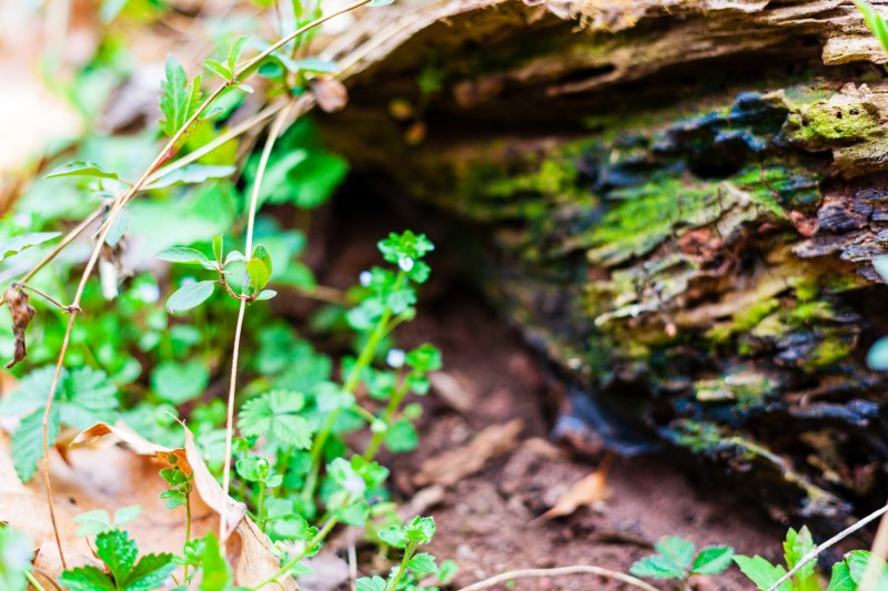
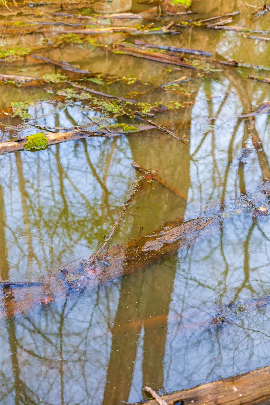
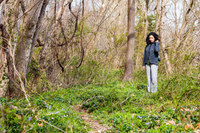
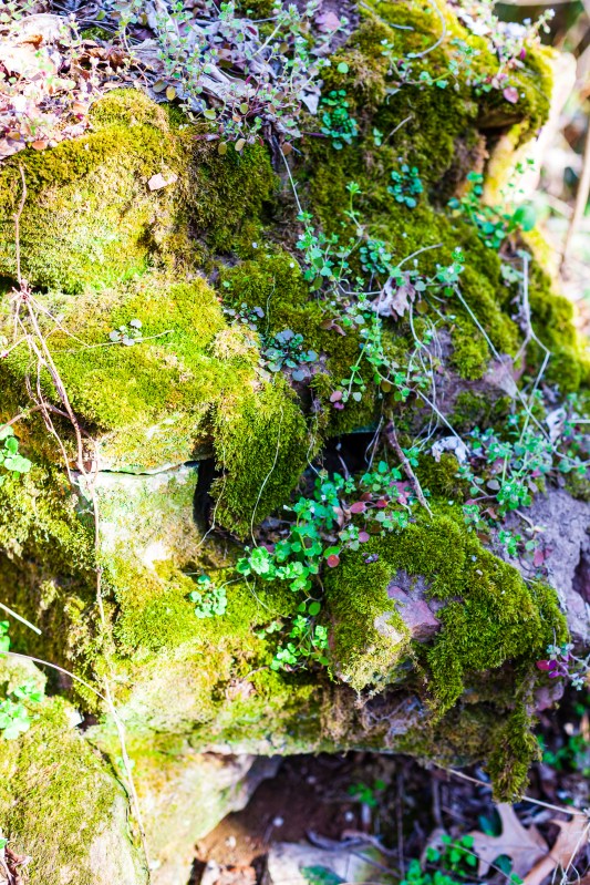
Ligia and I visited the remains of the mill in the spring of 2008. Here is a gallery of photographs I took at that time. Enjoy!
At the remains of the Seneca Stone-Cutting Mill near Riley’s Lock, Maryland
At the remains of the Seneca Stone-Cutting Mill near Riley’s Lock, Maryland
At the remains of the Seneca Stone-Cutting Mill near Riley’s Lock, Maryland
At the remains of the Seneca Stone-Cutting Mill near Riley’s Lock, Maryland
At the remains of the Seneca Stone-Cutting Mill near Riley’s Lock, Maryland
At the remains of the Seneca Stone-Cutting Mill near Riley’s Lock, Maryland
At the remains of the Seneca Stone-Cutting Mill near Riley’s Lock, Maryland
At the remains of the Seneca Stone-Cutting Mill near Riley’s Lock, Maryland
At the remains of the Seneca Stone-Cutting Mill near Riley’s Lock, Maryland
At the remains of the Seneca Stone-Cutting Mill near Riley’s Lock, Maryland
At the remains of the Seneca Stone-Cutting Mill near Riley’s Lock, Maryland
At the remains of the Seneca Stone-Cutting Mill near Riley’s Lock, Maryland
At the remains of the Seneca Stone-Cutting Mill near Riley’s Lock, Maryland
At the remains of the Seneca Stone-Cutting Mill near Riley’s Lock, Maryland
At the remains of the Seneca Stone-Cutting Mill near Riley’s Lock, Maryland
At the remains of the Seneca Stone-Cutting Mill near Riley’s Lock, Maryland
At the remains of the Seneca Stone-Cutting Mill near Riley’s Lock, Maryland
At the remains of the Seneca Stone-Cutting Mill near Riley’s Lock, Maryland
At the remains of the Seneca Stone-Cutting Mill near Riley’s Lock, Maryland
At the remains of the Seneca Stone-Cutting Mill near Riley’s Lock, Maryland
At the remains of the Seneca Stone-Cutting Mill near Riley’s Lock, Maryland
At the remains of the Seneca Stone-Cutting Mill near Riley’s Lock, Maryland
At the remains of the Seneca Stone-Cutting Mill near Riley’s Lock, Maryland
At the remains of the Seneca Stone-Cutting Mill near Riley’s Lock, Maryland
At the remains of the Seneca Stone-Cutting Mill near Riley’s Lock, Maryland
At the remains of the Seneca Stone-Cutting Mill near Riley’s Lock, Maryland
At the remains of the Seneca Stone-Cutting Mill near Riley’s Lock, Maryland
At the remains of the Seneca Stone-Cutting Mill near Riley’s Lock, Maryland
At the remains of the Seneca Stone-Cutting Mill near Riley’s Lock, Maryland
At the remains of the Seneca Stone-Cutting Mill near Riley’s Lock, Maryland
At the remains of the Seneca Stone-Cutting Mill near Riley’s Lock, Maryland
At the remains of the Seneca Stone-Cutting Mill near Riley’s Lock, Maryland
At the remains of the Seneca Stone-Cutting Mill near Riley’s Lock, Maryland
At the remains of the Seneca Stone-Cutting Mill near Riley’s Lock, Maryland
At the remains of the Seneca Stone-Cutting Mill near Riley’s Lock, Maryland
At the remains of the Seneca Stone-Cutting Mill near Riley’s Lock, Maryland
At the remains of the Seneca Stone-Cutting Mill near Riley’s Lock, Maryland
At the remains of the Seneca Stone-Cutting Mill near Riley’s Lock, Maryland
At the remains of the Seneca Stone-Cutting Mill near Riley’s Lock, Maryland
At the remains of the Seneca Stone-Cutting Mill near Riley’s Lock, Maryland
At the remains of the Seneca Stone-Cutting Mill near Riley’s Lock, Maryland
At the remains of the Seneca Stone-Cutting Mill near Riley’s Lock, Maryland
At the remains of the Seneca Stone-Cutting Mill near Riley’s Lock, Maryland
At the remains of the Seneca Stone-Cutting Mill near Riley’s Lock, Maryland
At the remains of the Seneca Stone-Cutting Mill near Riley’s Lock, Maryland
At the remains of the Seneca Stone-Cutting Mill near Riley’s Lock, Maryland
At the remains of the Seneca Stone-Cutting Mill near Riley’s Lock, Maryland
At the remains of the Seneca Stone-Cutting Mill near Riley’s Lock, Maryland
At the remains of the Seneca Stone-Cutting Mill near Riley’s Lock, Maryland
At the remains of the Seneca Stone-Cutting Mill near Riley’s Lock, Maryland
At the remains of the Seneca Stone-Cutting Mill near Riley’s Lock, Maryland
At the remains of the Seneca Stone-Cutting Mill near Riley’s Lock, Maryland
At the remains of the Seneca Stone-Cutting Mill near Riley’s Lock, Maryland
At the remains of the Seneca Stone-Cutting Mill near Riley’s Lock, Maryland
At the remains of the Seneca Stone-Cutting Mill near Riley’s Lock, Maryland
At the remains of the Seneca Stone-Cutting Mill near Riley’s Lock, Maryland
At the remains of the Seneca Stone-Cutting Mill near Riley’s Lock, Maryland
At the remains of the Seneca Stone-Cutting Mill near Riley’s Lock, Maryland
At the remains of the Seneca Stone-Cutting Mill near Riley’s Lock, Maryland
At the remains of the Seneca Stone-Cutting Mill near Riley’s Lock, Maryland
At the remains of the Seneca Stone-Cutting Mill near Riley’s Lock, Maryland
At the remains of the Seneca Stone-Cutting Mill near Riley’s Lock, Maryland
At the remains of the Seneca Stone-Cutting Mill near Riley’s Lock, Maryland